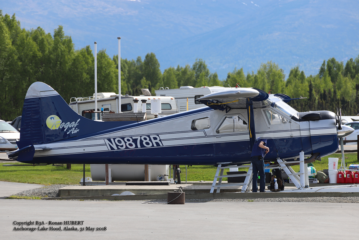
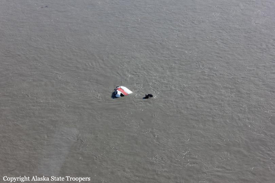
Crash of a De Havilland DHC-2 Beaver in Willow Lake: 1 killed
Date & Time:
Jul 18, 2018 at 1900 LT
Operator:

Registration:
N9878R
Survivors:
Yes
Schedule:
Willow Lake - FBI Lake
MSN:
1135
YOM:
1958
Crew on board:
1
Crew fatalities:
Pax on board:
2
Pax fatalities:
Other fatalities:
Total fatalities:
1
Captain / Total hours on type:
345.00
Aircraft flight hours:
22605
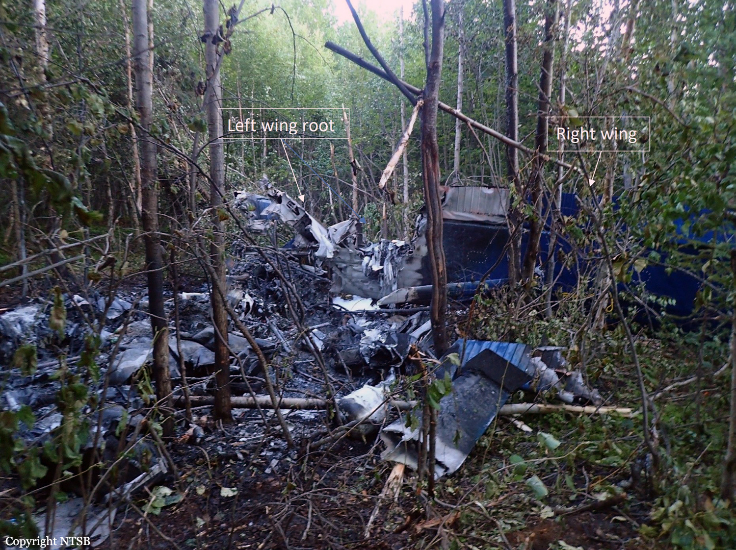
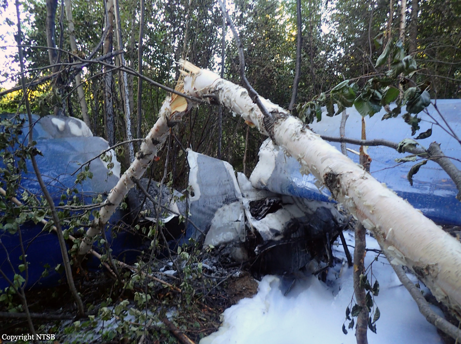
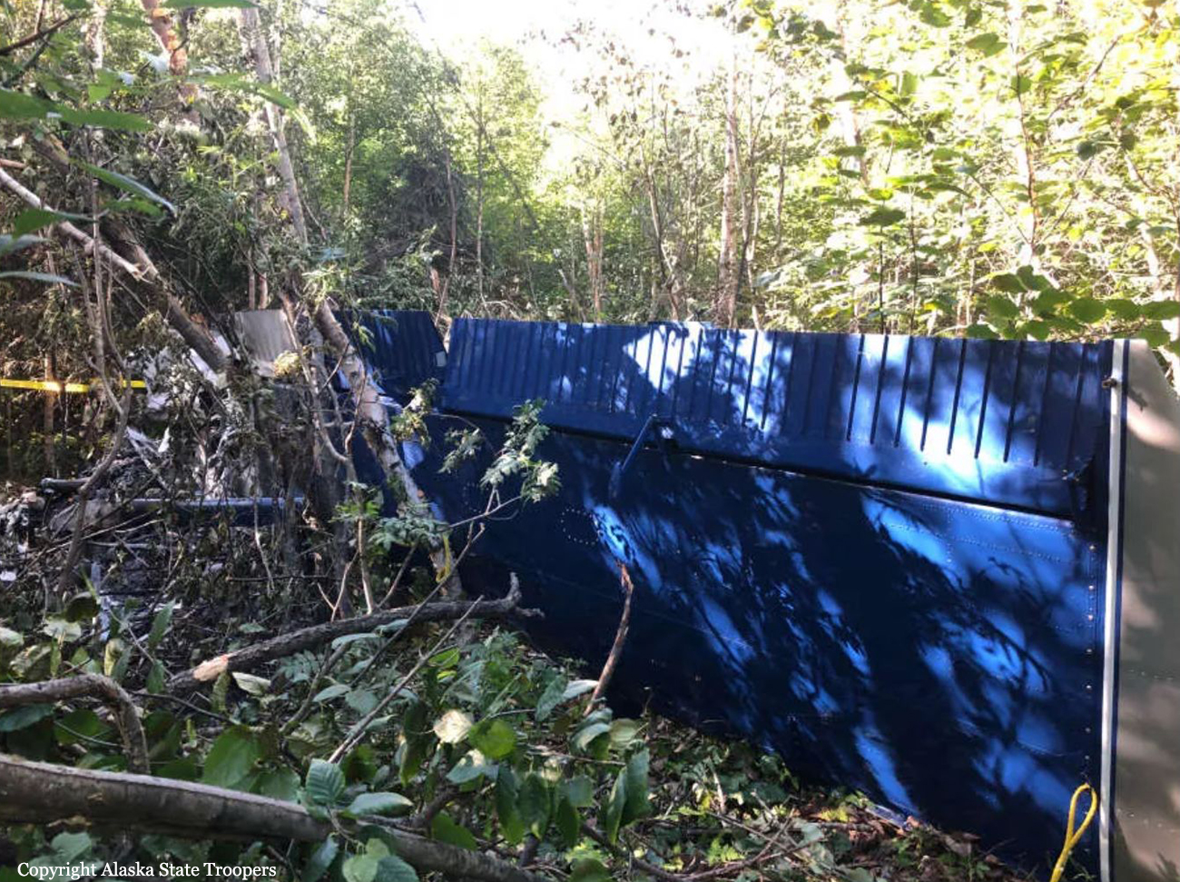
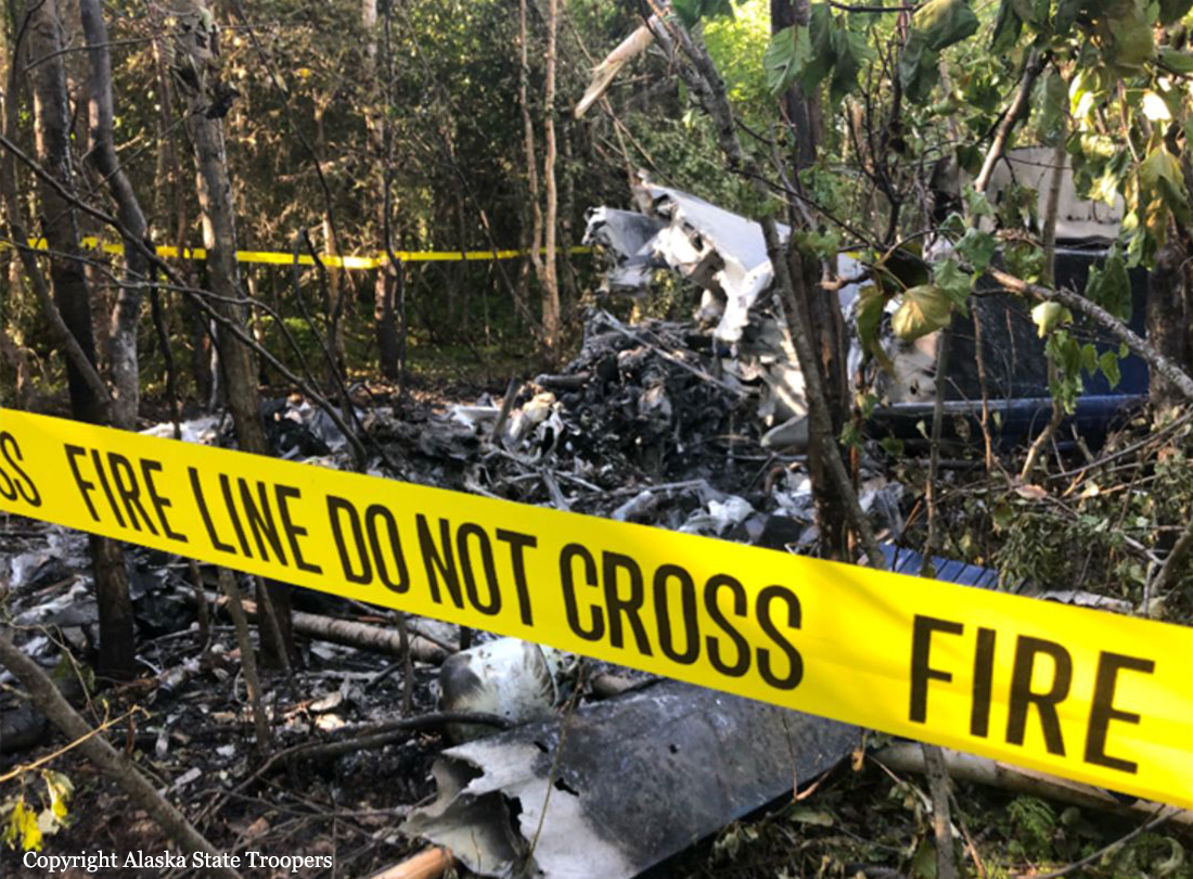
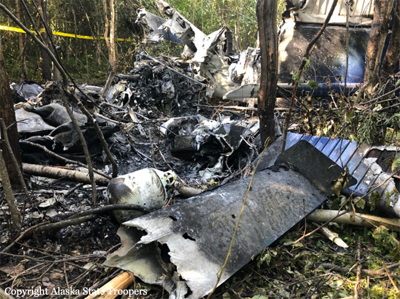
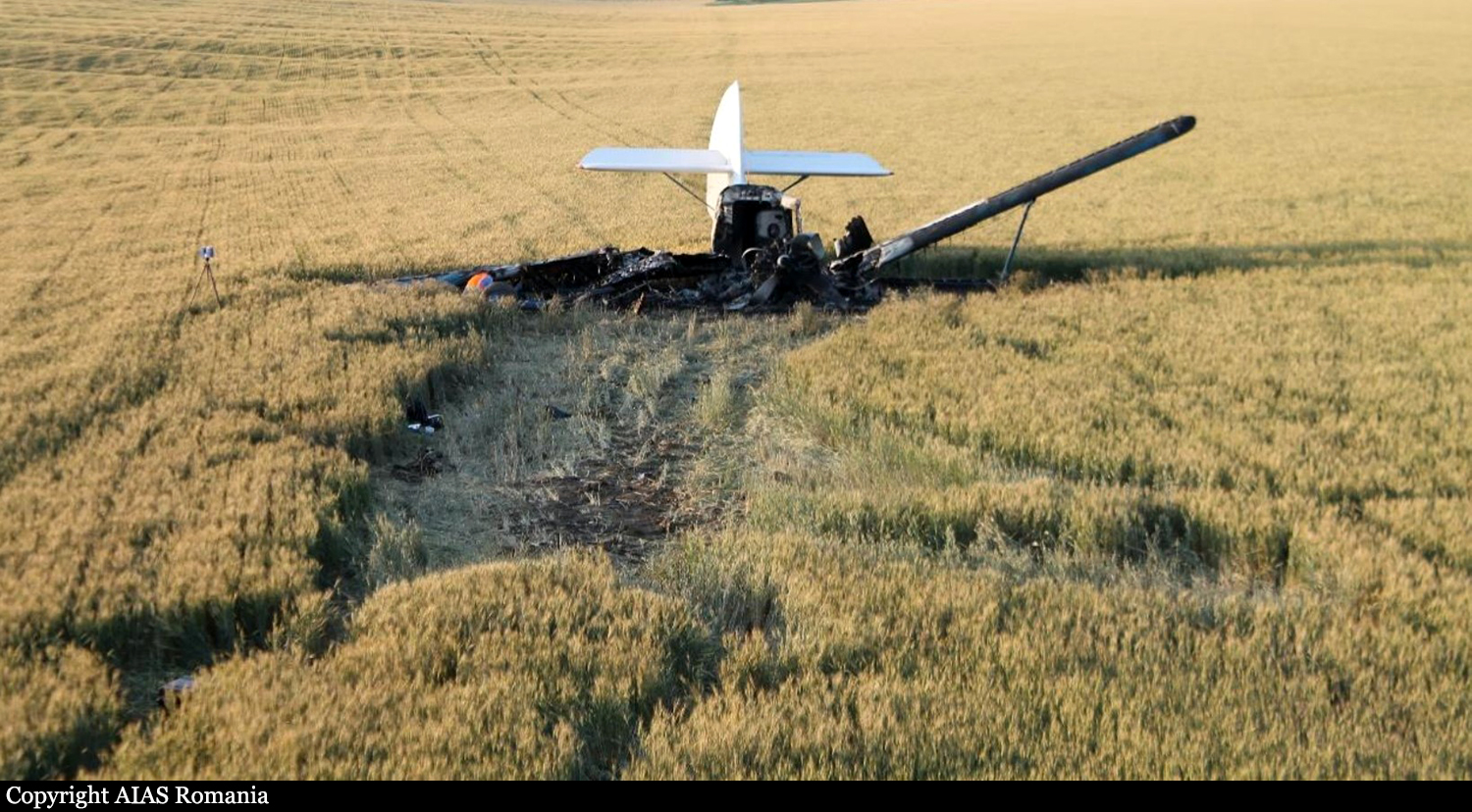
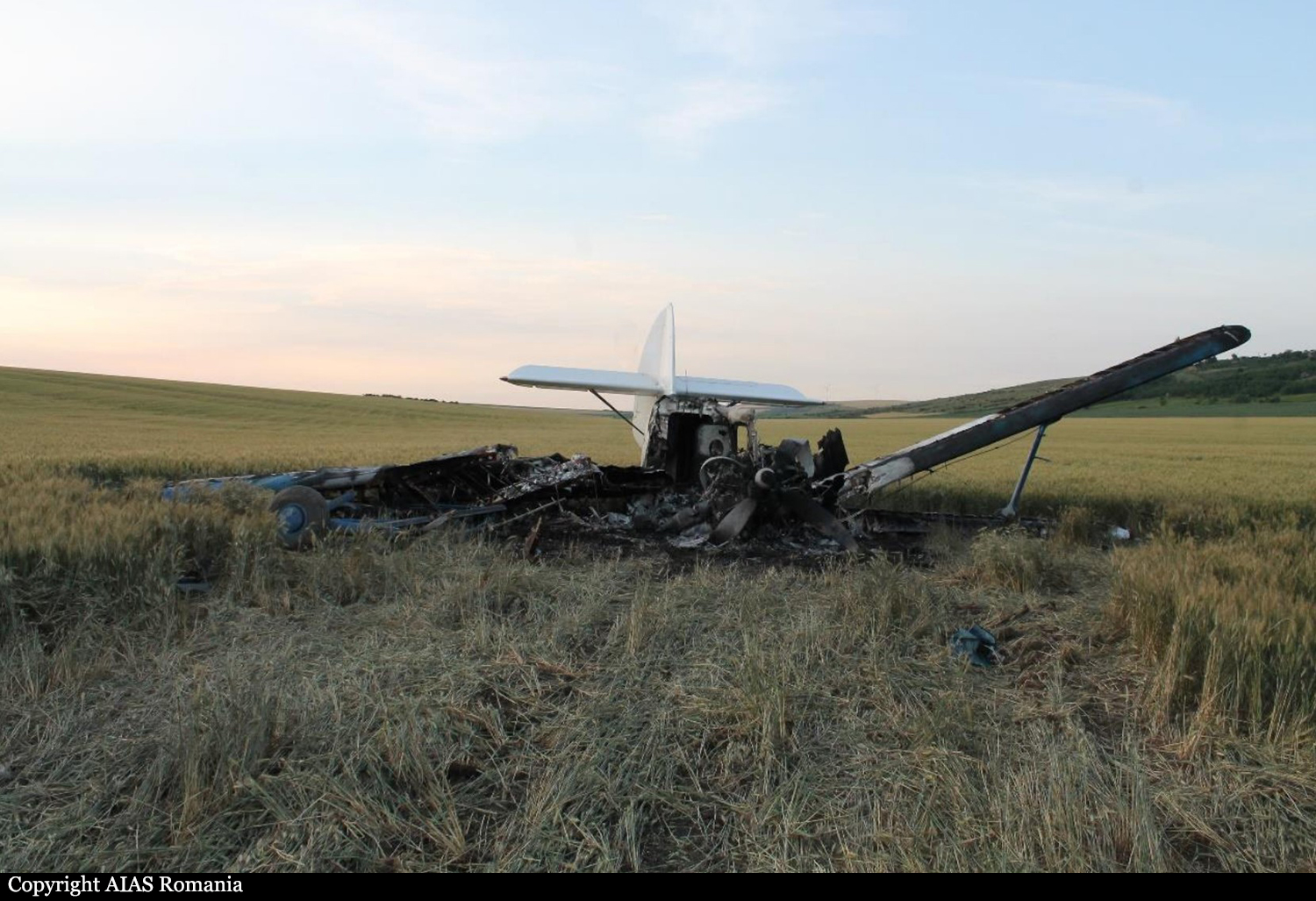
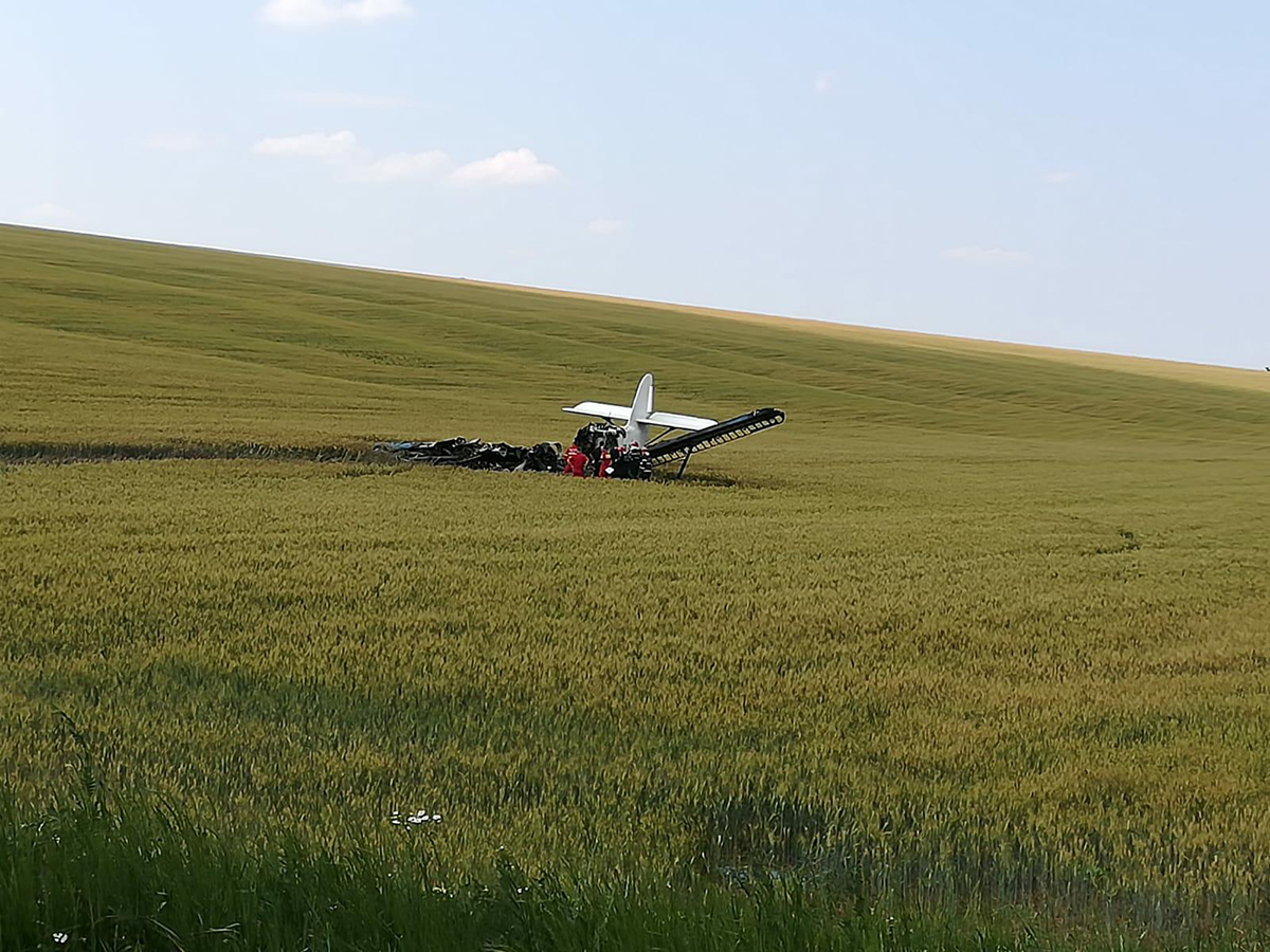
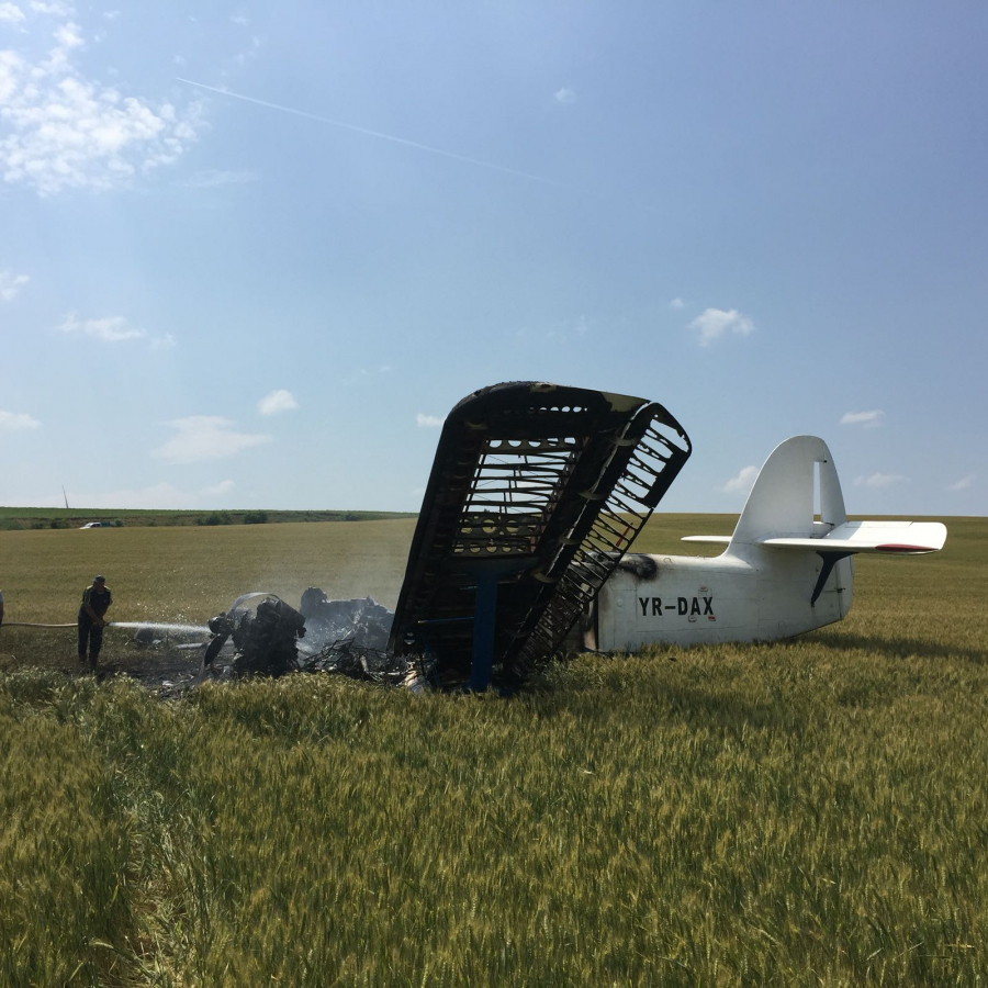
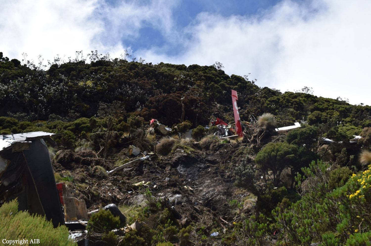
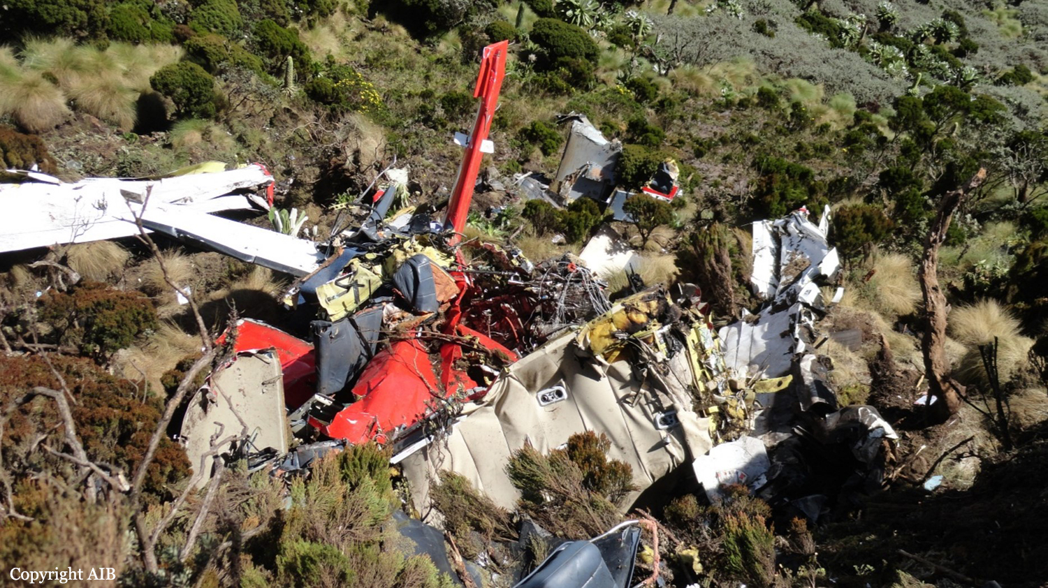
Circumstances:
The pilot was conducting an on-demand air taxi flight in a float-equipped airplane from a seaplane base on a public lake to a remote lakeside home, with a passenger and her young son. The passenger brought cargo to transport as well, including an unexpected 800 lbs of mortar bags. Witnesses who labored to push the airplane out after loading reported that the airplane appeared very aft heavy and the pilot said he would offload "cement blocks" if he could not take off. A review of witness videos revealed that the pilot attempted one takeoff using only 3/4 of the available waterway, then step taxied around the lake and performed a step-taxi takeoff, again not using the full length of the lake. The airplane eventually lifted off, and barely climbed over trees on the south end of the lake, before descending and impacting terrain. A home surveillance video that captured the airplane seconds before the crash revealed that 3 seconds before ground impact, the estimated altitude of the airplane was 115 ft above ground level (agl) and the groundspeed was about 64 miles per hour (mph), which was low and much slower than normal climb speed (80 mph). As the airplane banked to the left to turn on course, it rolled through 90° likely experiencing an aerodynamic stall. Analysis of the engine rpm sound revealed that the engine was operating near maximum continuous power up until impact, and a postaccident examination of the airframe and engine revealed no evidence of mechanical malfunctions or failures that would have precluded normal operation. A calculation performed by investigators postaccident revealed the airplane's estimated gross weight at the time of the accident was 75 lbs over the approved maximum gross takeoff weight, and the airplane's estimated center of gravity was 1.76 inches aft of the rear limit. The pilot had been recently hired by the operator and he flew his first commercial flight in the same make and model, float-equipped airplane the week before the accident. He had accumulated 12.9 flight hours, and 13 sea landings/takeoffs in the accident model airplane since being hired as a part-time pilot. Although the airplane was able to takeoff, the aircraft's out-of-limit weight-and-balance condition increased its stall speed and degraded its climb performance, stability, and slow-flight characteristics. When the pilot turned the airplane left, the critical angle of attack was exceeded resulting in an aerodynamic stall at low altitude. If the pilot had performed a proper weight and balance calculation, he may have recognized the airplane was overweight and out of balance and should not have attempted the flight without making a load adjustment.
Probable cause:
The pilot's exceedance of the airplane's critical angle of attack during departure climb, which resulted in an aerodynamic stall. Contributing to the accident was the pilot's improper decision to load the airplane beyond its allowable gross weight and center of gravity limits, coupled with his lack of operational experience in the airplane make, model, and configuration.
Final Report: