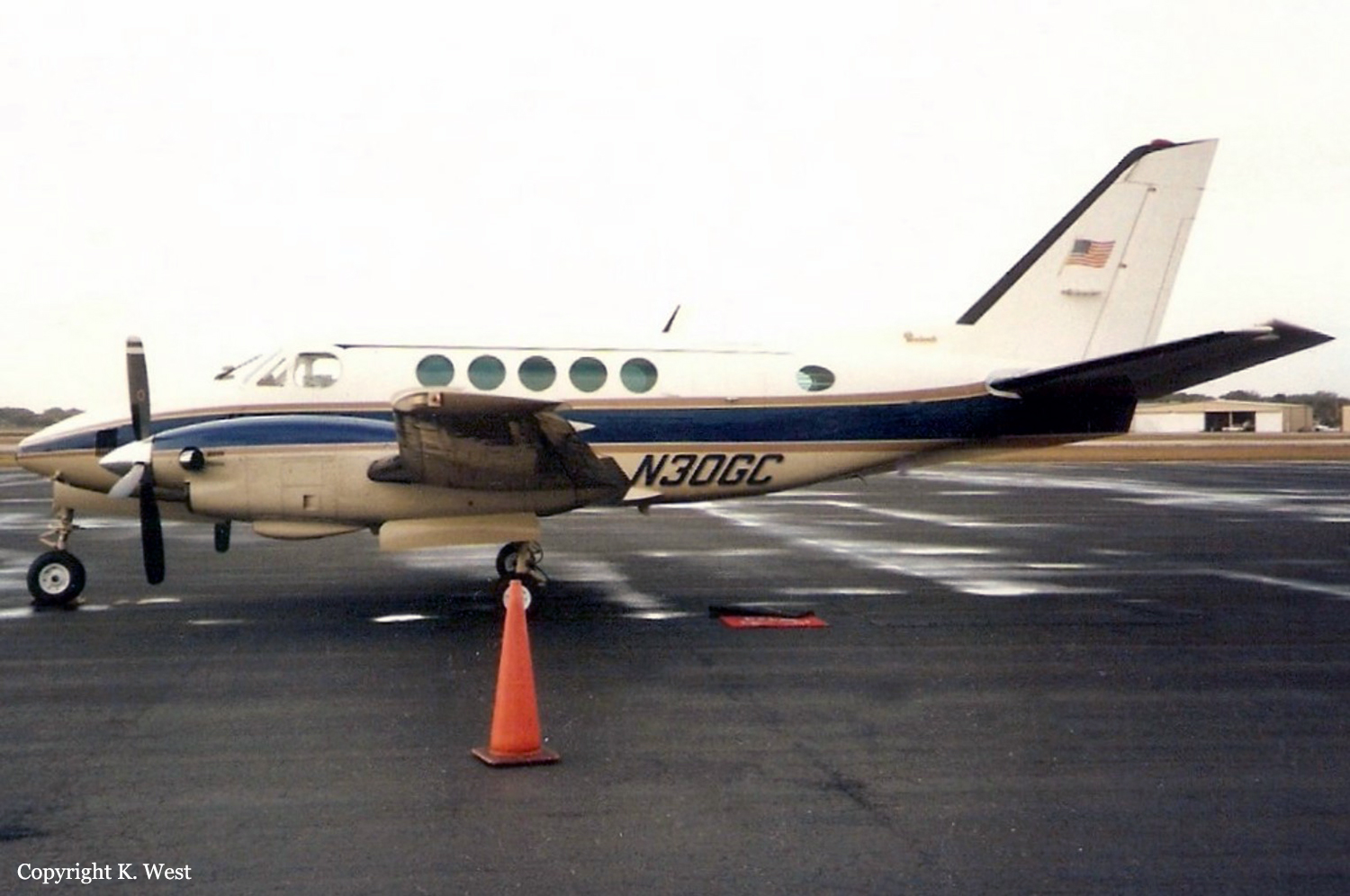
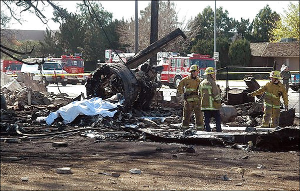
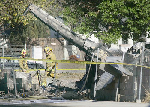
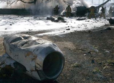
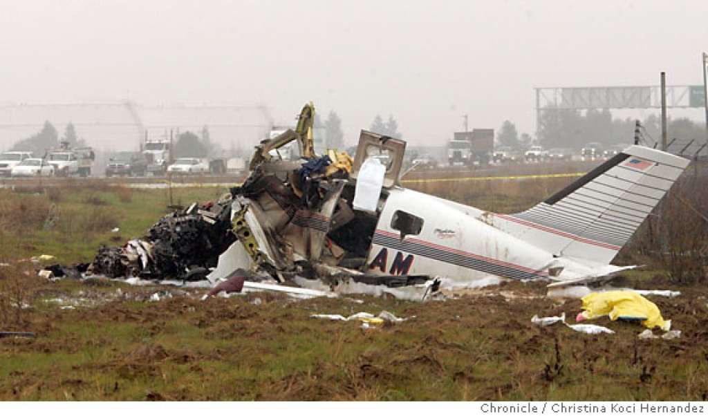
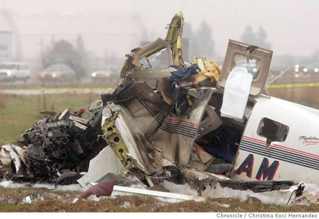
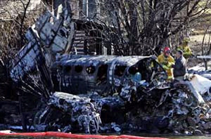
Crash of a Beechcraft A100 King Air in Chino: 2 killed
Date & Time:
Nov 6, 2007 at 0918 LT
Registration:
N30GC
Survivors:
No
Schedule:
Chino - Visalia
MSN:
B-177
YOM:
1973
Crew on board:
1
Crew fatalities:
Pax on board:
1
Pax fatalities:
Other fatalities:
Total fatalities:
2
Aircraft flight hours:
11849
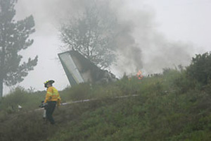
Circumstances:
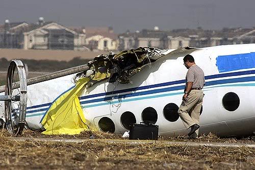
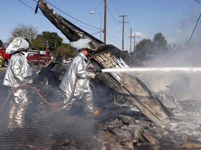
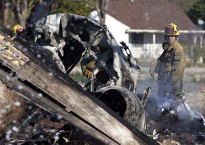
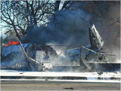
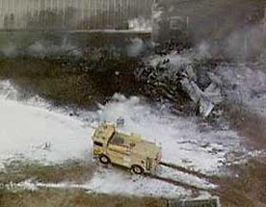
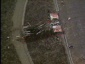
The reported weather at the time of the accident was calm winds, a 1/4-mile visibility in fog and a vertical visibility of 100 feet. Shortly after takeoff for the instrument-flight-rules flight, the airplane made a slight turn to the left and impacted the tops of 25-foot trees about a 1/2 mile from the runway. An enhanced ground proximity warning system was installed on the airplane and data extraction from the system indicated that the airplane achieved an initial positive climb profile with a slight turn to the left and then a descent. A witness reported hearing the crash and observed the right wing impact the ground and burst into flames. The airplane then cartwheeled for several hundred feet before coming to rest inverted. The airframe, engines, and propeller assemblies were inspected with no mechanical anomalies noted that would have precluded normal flight.
Probable cause:
The pilot's failure to maintain a positive climb rate during an instrument takeoff. Contributing to the accident was the low visibility.
Final Report: