code

CA

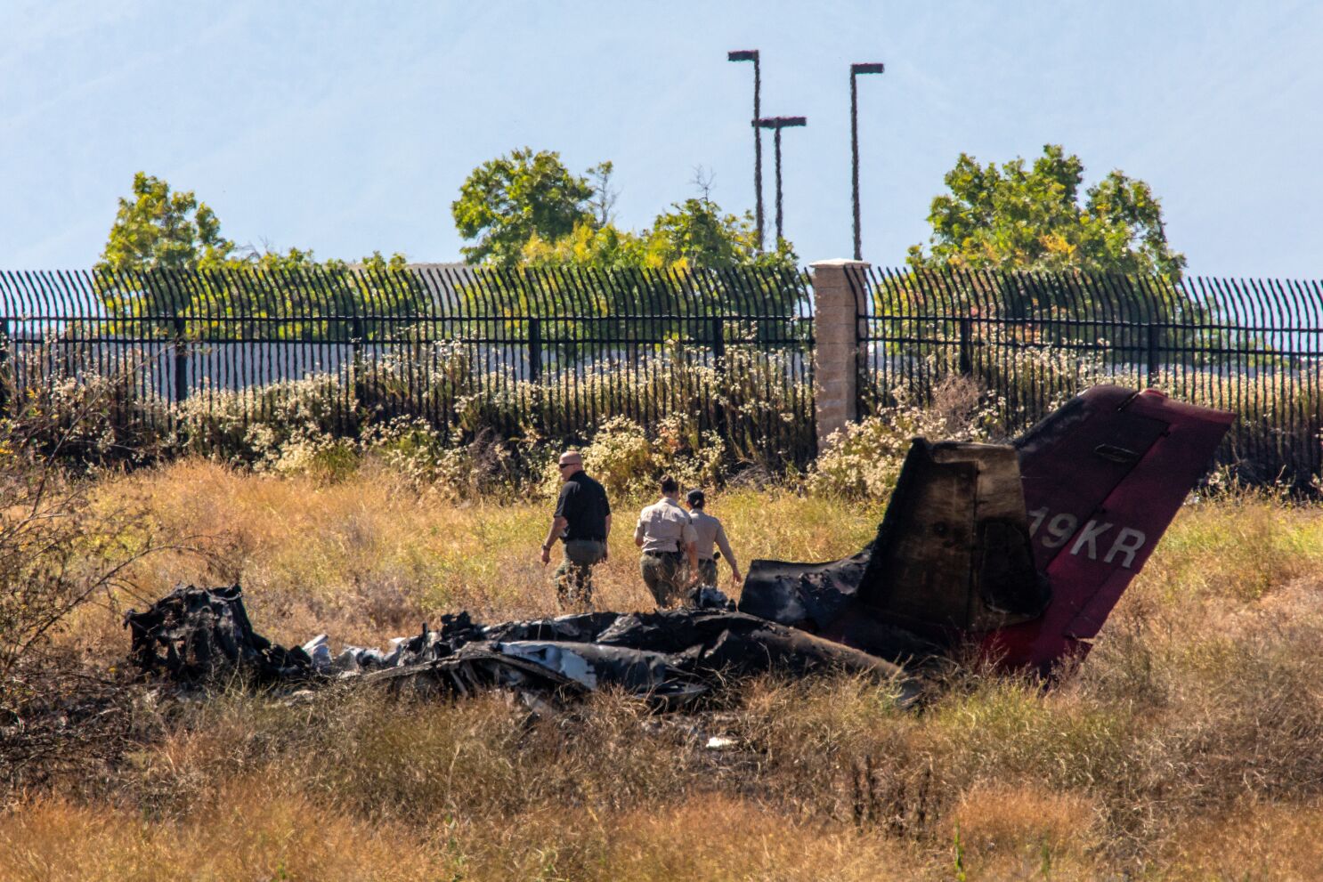
Crash of a Cessna 550 Citation II in Temecula: 6 killed

Date & Time: Jul 8, 2023 at 0414 LT
Type of aircraft:
Registration:
N819KR
Flight Type:
Survivors:
No
Schedule:
Las Vegas - Temecula
MSN:
550-0114
YOM:
1979
Crew on board:
2
Crew fatalities:
Pax on board:
4
Pax fatalities:
Other fatalities:
Total fatalities:
6
Circumstances:
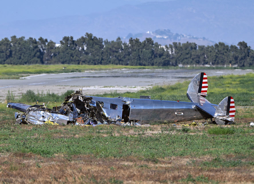
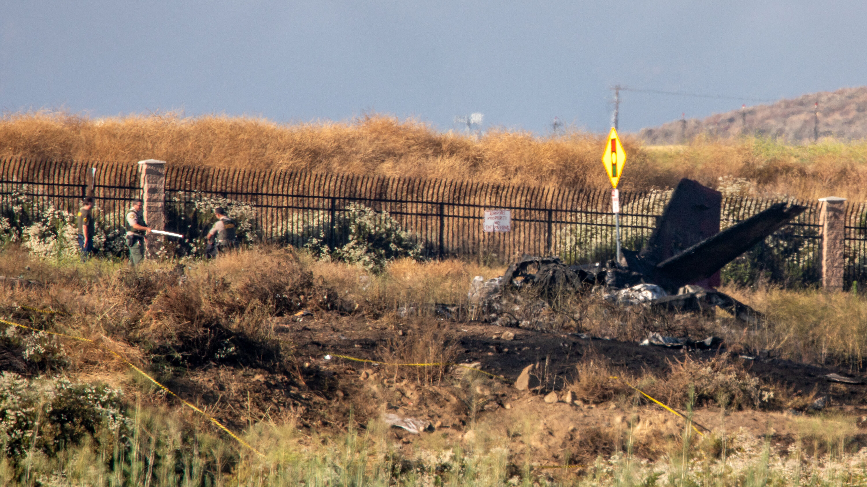
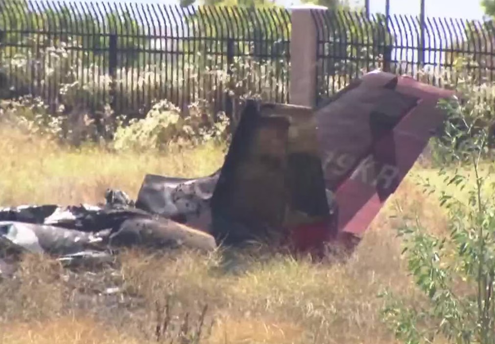
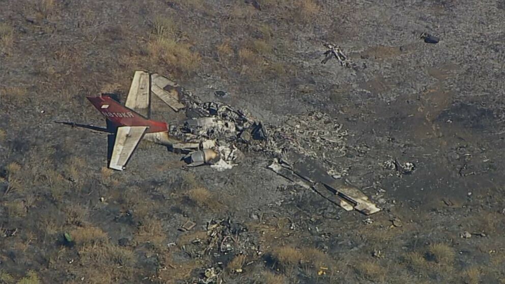
On approach to Temecula-French Airport Runway 36 at night, the crew encountered foggy conditions. Due to poor visibility, the crew initiated a go around then made a right hand turn and followed a circuit for a second attempt to land. On short final, at a speed of approximately 130 knots, the airplane impacted the ground and crashed short of runway, bursting into flames. The airplane was totally destroyed and all six occupants were killed.

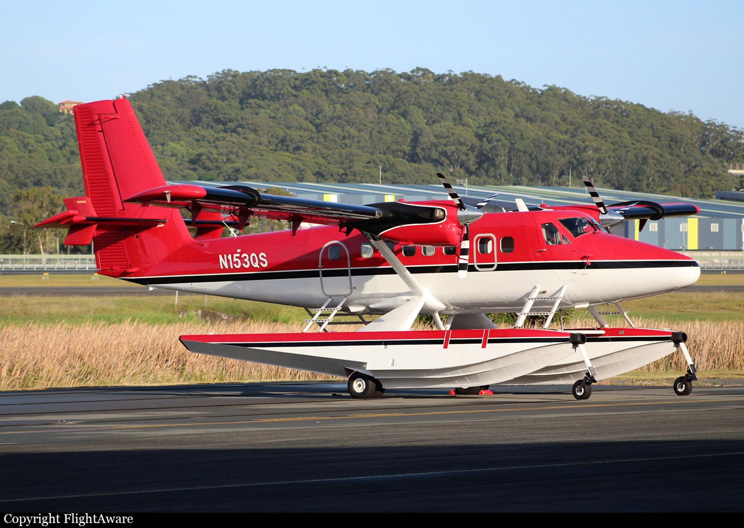
Crash of a Viking Air DHC-6 Twin Otter 400 off Half Moon Bay: 2 killed

Date & Time: May 20, 2023 at 1415 LT
Operator:
Registration:
N153QS
Flight Phase:
Flight Type:
Survivors:
No
Schedule:
Santa Rosa - Honolulu
MSN:
869
YOM:
2013
Crew on board:
2
Crew fatalities:
Pax on board:
0
Pax fatalities:
Other fatalities:
Total fatalities:
2
Circumstances:
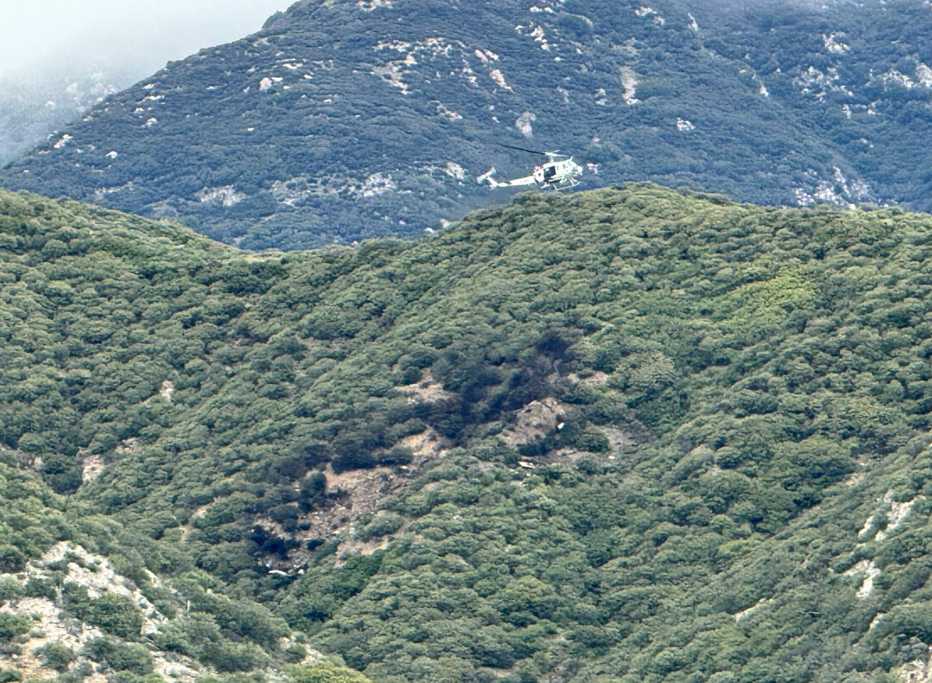
The airplane departed Santa Rosa-Sonoma County Airport on a ferry flight to Honolulu, carrying two pilots. It crashed in unknown circumstances into the Pacific Ocean some 54 km west of Half Moon Bay. No trace of the aircraft or the crew was found.

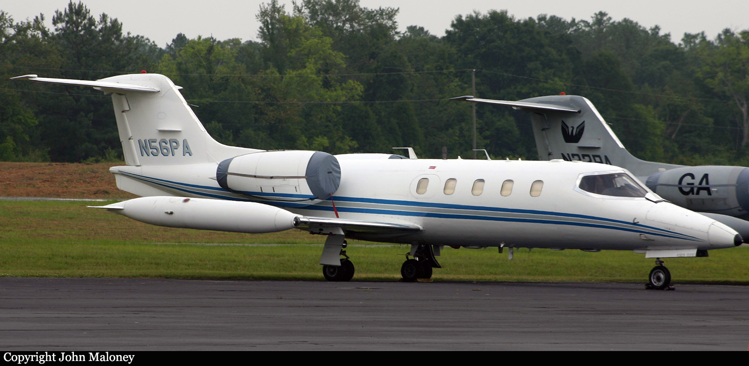
Crash of a Learjet 36A off San Clemente NAS: 3 killed

Date & Time: May 10, 2023 at 0755 LT
Type of aircraft:
Operator:
Registration:
N56PA
Flight Phase:
Flight Type:
Survivors:
No
Schedule:
Point Mugu - Point Mugu
MSN:
36-023
YOM:
1976
Flight number:
Fenix 01
Crew on board:
3
Crew fatalities:
Pax on board:
0
Pax fatalities:
Other fatalities:
Total fatalities:
3
Circumstances:
The airplane was engaged in a mission on behalf of the US Navy (callsign Fenix 01) when it crashed in unknown circumstances into the sea about a mile southwest off San Clemente Island NAS. Few debris were found floating on water and all three crew members were killed.

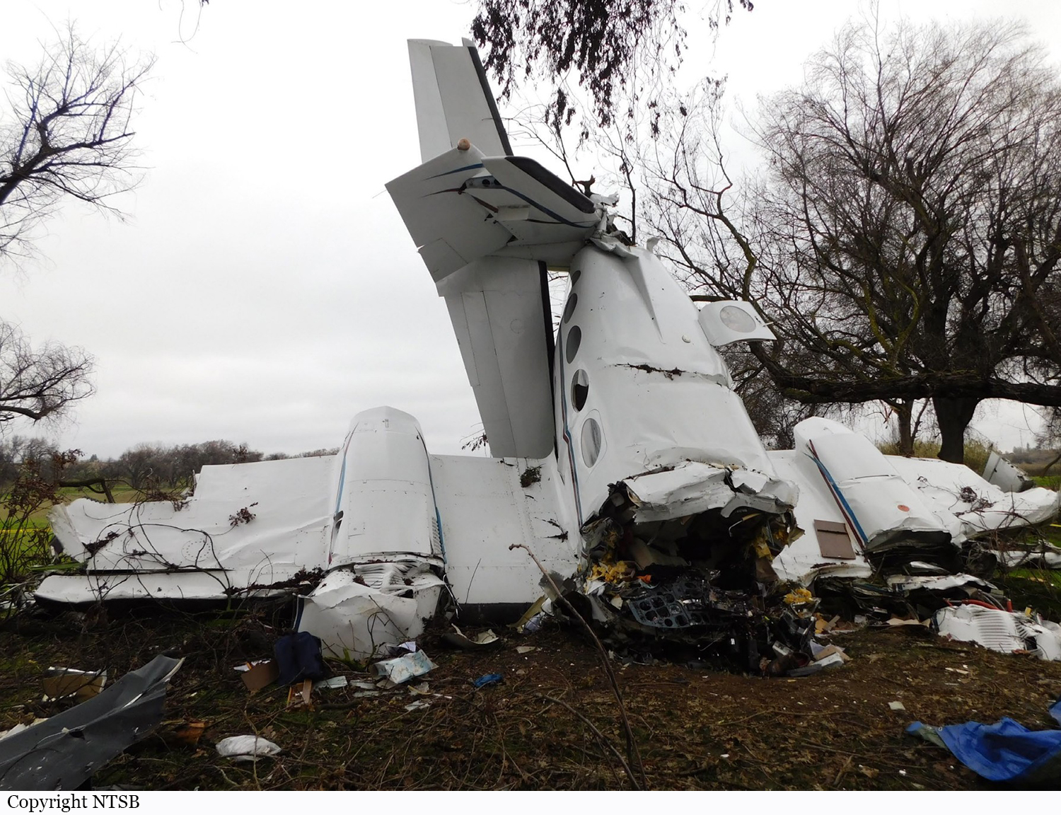
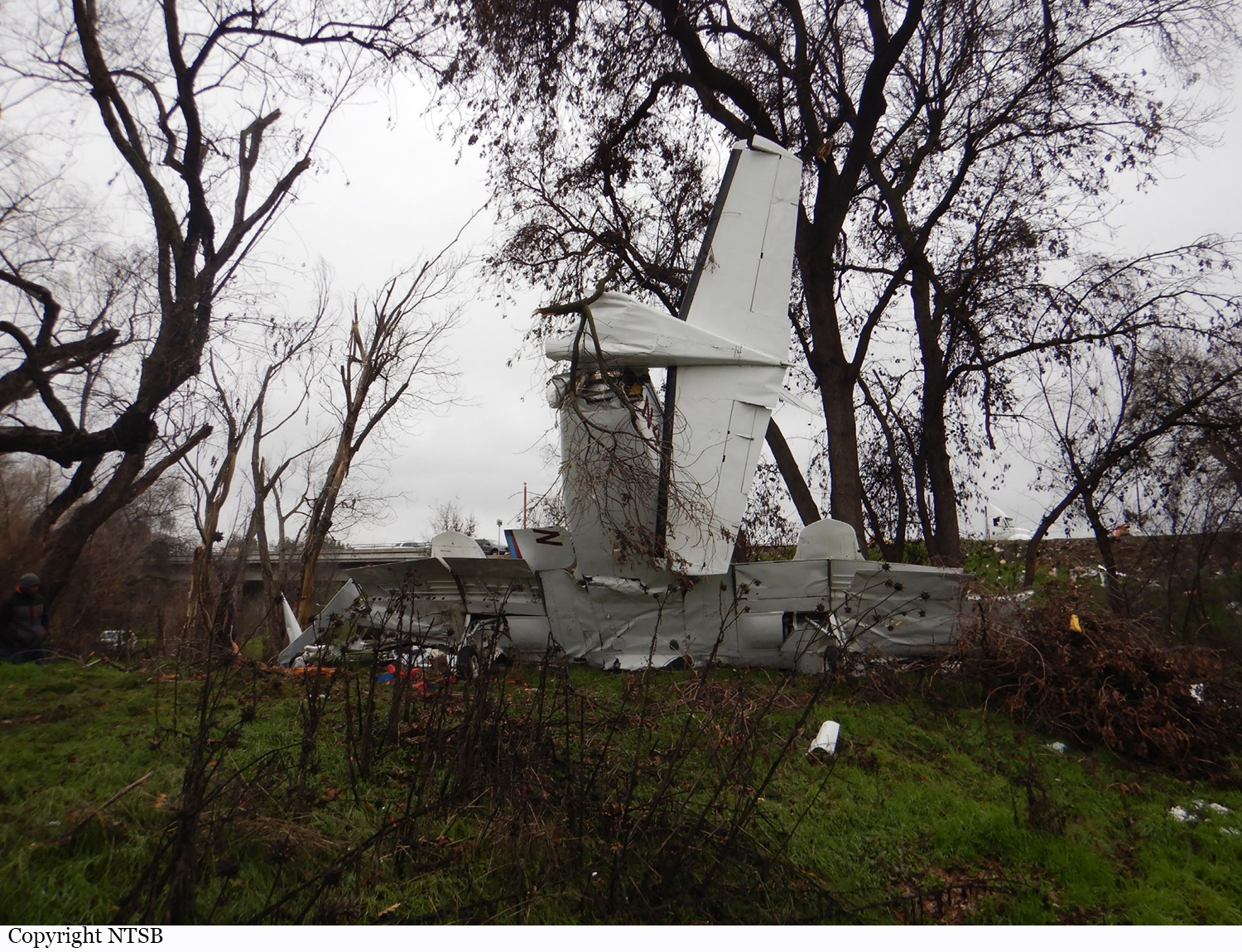
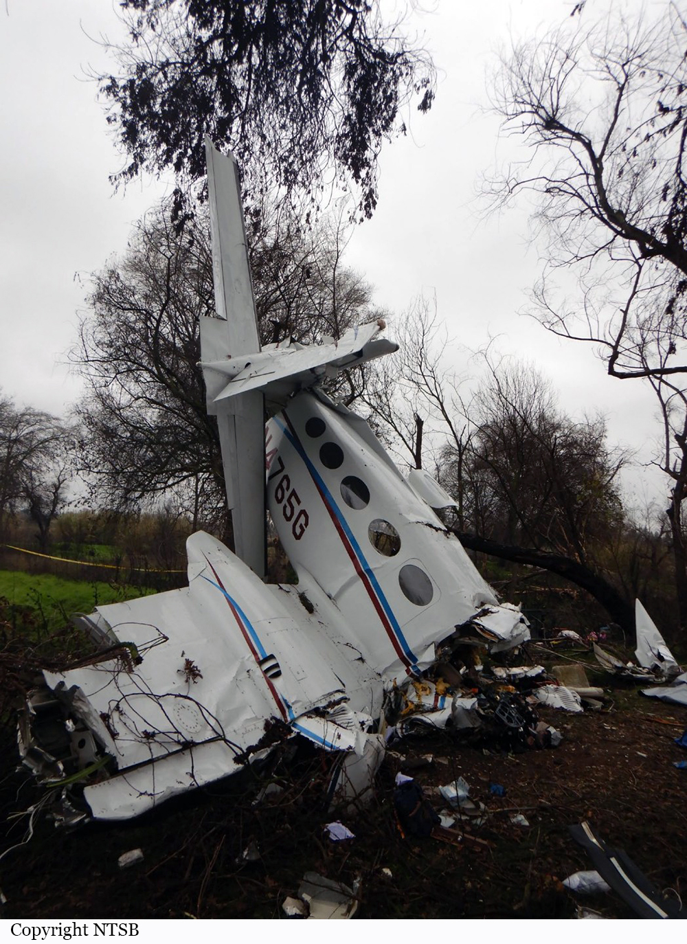
Crash of a Cessna 414 Chancellor in Modesto: 1 killed

Date & Time: Jan 18, 2023 at 1307 LT
Type of aircraft:
Registration:
N4765G
Flight Type:
Survivors:
No
Schedule:
Modesto - Modesto
MSN:
414-0940
YOM:
1977
Crew on board:
1
Crew fatalities:
Pax on board:
0
Pax fatalities:
Other fatalities:
Total fatalities:
1
Circumstances:
The pilot departed Modesto City-County Airport for a local solo flight. After takeoff from runway 10L, he reported technical problems with the engine and elected to return for an emergency landing. He completed a circuit south of the airport then returned in a left hand turn to join the runway 28R. On short final, he lost control of the airplane that crashed by trees, nearby the Tuolomne River, less than 500 metres from the runway threshold. The airplane was destroyed and the pilot was killed.

Crash of a Learjet 36 at North Island NAS

Date & Time: Sep 9, 2022 at 1314 LT
Type of aircraft:
Operator:
Registration:
N26FN
Flight Type:
Survivors:
Yes
Schedule:
North Island - North Island
MSN:
36-011
YOM:
1975
Flight number:
FST26
Crew on board:
2
Crew fatalities:
Pax on board:
0
Pax fatalities:
Other fatalities:
Total fatalities:
0
Circumstances:
The airplane departed North Island-Halsey Field NAS at 1222LT on a combined exercice on behalf of the US Navy under callsign FST26. Less than an hour later, the crew initiated the approach to runway 36 in rain falls. After touchdown, the airplane failed to stop within the remaining distance, overran, went down an embankment and came to rest on a beach. Both pilots were slightly injured.

Crash of a Cessna 340A in Watsonville: 2 killed

Date & Time: Aug 18, 2022 at 1456 LT
Type of aircraft:
Operator:
Registration:
N740WJ
Flight Type:
Survivors:
No
Schedule:
Turlock – Watsonville
MSN:
340A-0740
YOM:
1979
Crew on board:
1
Crew fatalities:
Pax on board:
1
Pax fatalities:
Other fatalities:
Total fatalities:
2
Circumstances:
On final approach to Watsonville Airport, at a height of 200 feet, the twin engine airplane collided with a private Cessna 152 registered N49931 and carrying one pilot. Following the collision, the Cessna 152 crashed in a grassy area near the runway, bursting into flames. The Cessna 340 crashed on the runway, veered off and came to rest into a hangar. All three occupants in both aircraft were killed.

Crash of a Cessna 208B Grand Caravan in Oceanside: 1 killed

Date & Time: Jun 3, 2022 at 1346 LT
Type of aircraft:
Operator:
Registration:
N7581F
Survivors:
Yes
Schedule:
Oceanside - Oceanside
MSN:
208B-0389
YOM:
1994
Crew on board:
1
Crew fatalities:
Pax on board:
1
Pax fatalities:
Other fatalities:
Total fatalities:
1
Circumstances:
The single engine was completing local skydiving flights out from Oceanside Airport. On final approach to runway 25, the airplane apparently stalled and crashed against an embankment located about 400 metres short of runway. The pilot was seriously injured and the jumpmaster was killed.

Crash of a Learjet 35A in Santee: 4 killed

Date & Time: Dec 27, 2021 at 1914 LT
Type of aircraft:
Operator:
Registration:
N880Z
Flight Type:
Survivors:
No
Site:
Schedule:
Santa Ana - Santee
MSN:
35A-591
YOM:
1985
Crew on board:
2
Crew fatalities:
Pax on board:
2
Pax fatalities:
Other fatalities:
Total fatalities:
4
Circumstances:
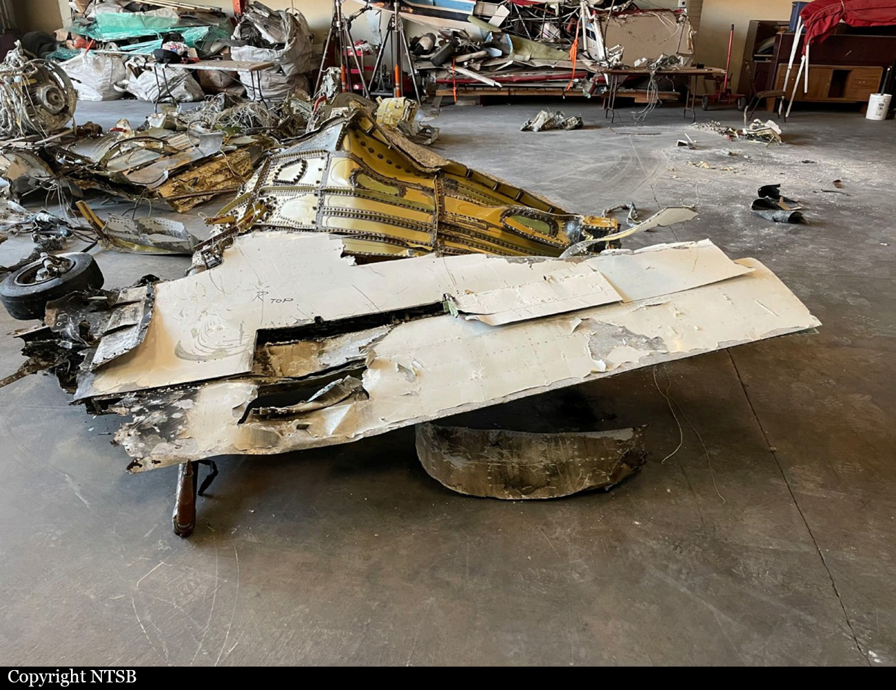
On December 27, 2021, about 1914 Pacific standard time, a Gates Learjet Corporation 35A, N880Z, was destroyed when it was involved in an accident near El Cajon, California. The 2 pilots, and 2 flight nurses were fatally injured. The airplane was operated as a Title 14 Code of Federal Regulations Part 91 repositioning flight. Earlier in the day, the flight crew had flown from Lake Havasu City Airport (HII), Lake Havasu, Arizona, to John Wayne / Orange County Airport (SNA), Santa Ana, California, for a patient transfer. They departed SNA about 1856 to reposition to their home base at Gillespie Field (SEE), El Cajon, California. Review of preliminary communication recordings revealed that at 1908:23, the pilot contacted the SEE Air Traffic Control Tower (ATCT) and reported to the controller they were on the GPS approach to runway 17. The controller issued the current wind and cleared the pilot to land on runway 17. At 1912:03, the pilot reported the airport in sight and requested to squawk VFR. The controller did not acknowledge the request to squawk VFR, however, he reissued the landing clearance for runway 17. At 1912:13, the pilot requested to land on runway 27. The controller asked the pilot if they wanted to cancel their IFR flight plan, to which the pilot replied, “yes sir.” The controller acknowledged that the IFR cancelation was received and instructed the pilot to overfly the field and enter left traffic for runway 27R and cleared them to land runway 27R. At 1912:30, the pilot requested that the runway lights for runway 27R be increased, however, the controller informed them that the lights were already at 100 percent. Preliminary Automatic Dependent Surveillance-Broadcast (ADS-B) data showed that after departure from SNA, the flight made a left turn out over the waters of the Pacific Ocean and flew generally south – southeast along the coast and ascended to a cruise barometric altitude of about 11,000 ft sea level (MSL). After the flight passed Carlsbad, California, the airplane turned left and began to descend toward SEE. As shown in figure 1, ADS-B data showed that the airplane overflew SEE at a barometric altitude of about 775 ft MSL (407 ft above ground level) and entered a left downwind for runway 27R. While on the downwind leg, the airplane descended to a barometric altitude of 700 ft MSL, then ascended to a barometric altitude of 950 ft MSL while on the base leg. The last recorded ADS-B target was at 1914:09, at a barometric altitude of 875 ft MSL. Examination of the accident site revealed that the airplane struck a set of power lines and subsequently impacted the yard of a residential home about 1.43 nautical miles east of the approach end of runway 27R. The airplane came to rest upright on a heading of about 118°, at an elevation of about 595 ft msl. The wreckage debris path was oriented on a heading of about 310° and was about 186 ft long and 90 ft wide. All major structural components of the airplane were located throughout the wreckage debris path. The wreckage was recovered to a secure location for further examination. At 1855, recorded weather data at SEE showed weather conditions were variable wind at 5 knots, visibility of 3 statute miles, mist, broken cloud layer at 2,000 ft, overcast cloud layer at 2,600 ft, temperature of 10° C, dew point temperature of 8° C, and an altimeter setting of 29.98 inches of mercury. No precipitation was indicated. At 1955, SEE reported a variable wind of 5 knots, visibility 3 statute miles, mist, broken cloud layer at 1,100 ft, overcast cloud layer at 2,600 ft, temperature of 10°C, dew point temperature of 8°C, and an altimeter setting of 29.96 inches of mercury. No precipitation was indicated.

Crash of a PZL-Mielec AN-2T in Alta Mesa

Date & Time: Oct 14, 2021 at 1600 LT
Type of aircraft:
Operator:
Registration:
N857PF
Flight Phase:
Flight Type:
Survivors:
Yes
MSN:
1G108-57
YOM:
1969
Crew on board:
1
Crew fatalities:
Pax on board:
3
Pax fatalities:
Other fatalities:
Total fatalities:
0
Circumstances:
On October 14, 2021 at 1600 Pacific daylight time, a WSK Mielec AN-2TD, N857PF, was substantially damaged when it was involved in an accident near Wilton, California. The pilot and one passenger sustained serious injuries and the other two passengers sustained minor injuries. The airplane was operated as a Title 14 Code of Federal Regulations Part 91 personal flight. The pilot stated that he configured the airplane for takeoff and had flaps down and the elevator trim was neutral. The departure started normally and after becoming airborne, the airplane controls were not responding to his inputs as expected. The airplane continued to pitch up in a nose-high attitude and he was unable to push the control yoke forward which he described as feeling like he was “stretching” cables with forward pressure. The pilot set the electric trim to full nose-down and it made no effect. With the airplane’s pitch uncontrollable, he saw an open area and elected to make a rapid maneuver toward the area. He added full left rudder and aileron and the airplane banked left. The airplane descended into trees and after coming to a stop, a fire erupted. The back door would not open due the deformation of the airframe and the broke a front window. The pilot and passengers all climbed out the window and the airplane continued to burn. There were two witnesses located at the airport that took videos of the airplane departing. One video showed the airplane just prior to the takeoff roll. The tailwheel is positioned backward and as the airplane starts the roll, the tailwheel swivel and the airplane moves to the right of the runway. The airplane then veered to the left of the runway and became airborne shortly thereafter. In the approximate 10 seconds that followed, the airplane pitched up at an increasingly higher and higher angle-of-attack. The airplane then made a sharp left turn and goes behind the tress as it descends.

Crash of a Cessna 340A in Santee: 2 killed

Date & Time: Oct 11, 2021 at 1214 LT
Type of aircraft:
Registration:
N7022G
Flight Type:
Survivors:
No
Site:
Schedule:
Yuma – San Diego
MSN:
340A-0695
YOM:
1979
Crew on board:
1
Crew fatalities:
Pax on board:
0
Pax fatalities:
Other fatalities:
Total fatalities:
2
Circumstances:
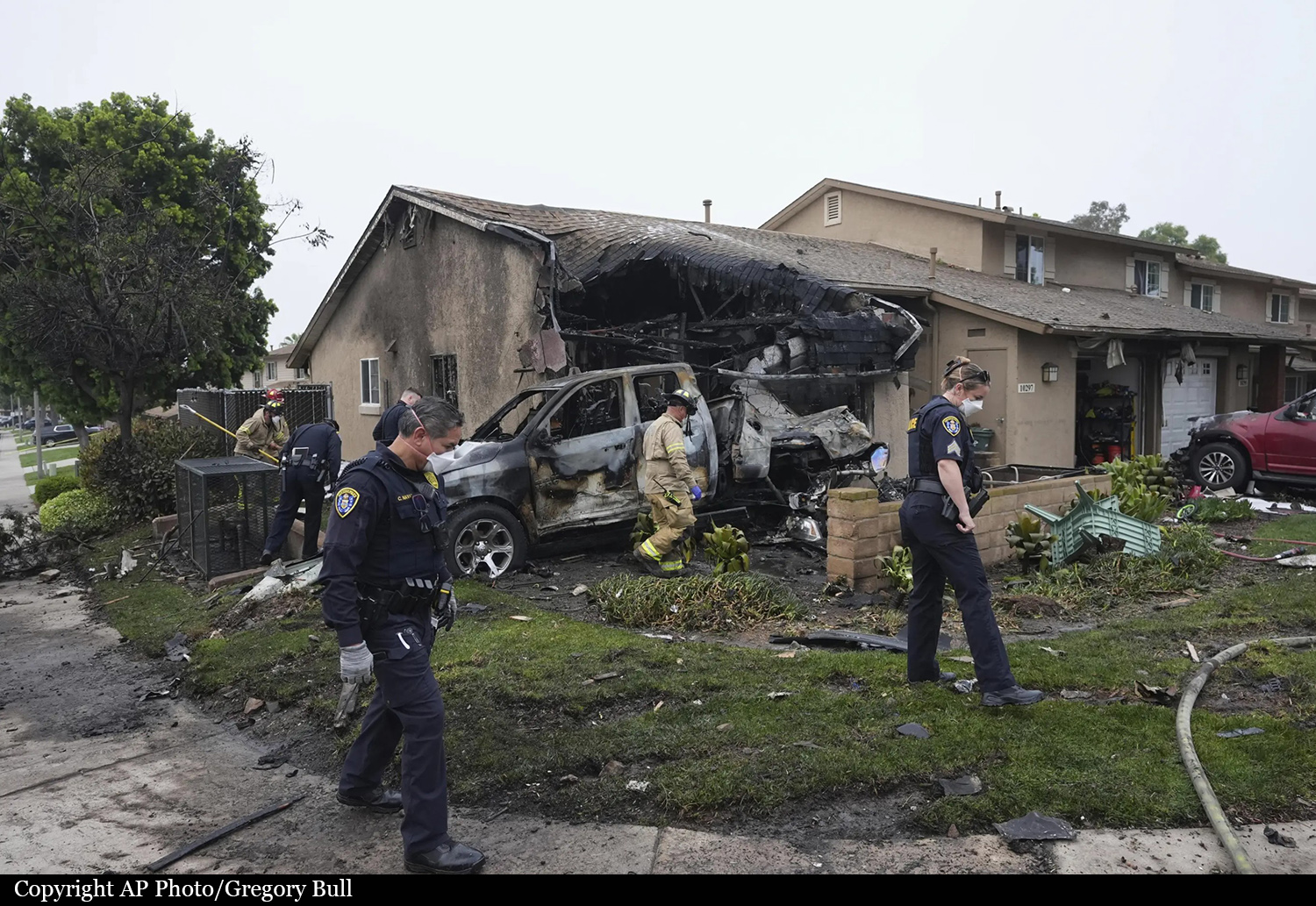
On October 11, 2021, at 1214 Pacific daylight time, a Cessna 340A, N7022G, was destroyed when it was involved in an accident near Santee, California. The pilot and one person on the ground were fatally injured, and 2 people on the ground sustained serious injuries. The airplane was operated as a Title 14 Code of Federal Regulations Part 91 personal flight. The flight departed from Yuma International Airport (NYL), Yuma, AZ at 1121 mountain daylight time and was destined for Montgomery-Gibbs Executive Airport (MYF), San Diego, California. Review of Federal Aviation Administration Southern California Terminal Radar Approach Control (TRACON) facilities and recorded Automatic Dependent Surveillance-Broadcast (ADS-B) data revealed that at 1203:58, the controller broadcasted a weather update for MYF and reported the visibility was 10 miles, ceiling 1,700 ft broken, overcast skies at 2,800 ft, and runway 23 was in use. At 1209:20, the controller issued instructions to the pilot to turn right to a 259° heading to join final, to which the pilot acknowledged while at an altitude of 3,900 ft mean sea level (msl). About 28 seconds later, the pilot queried the controller and asked if he was cleared for the ILS Runway 28R approach, with no response from the controller. At 1210:04, the controller told the pilot that he was 4 miles from PENNY intersection and instructed him to descend to 2,800 ft until established on the localizer, and cleared him for the ILS 28R approach, circle to land runway 23. The pilot partially read back the clearance, followed by the controller restating the approach clearance. The pilot acknowledged the clearance a second time. At this time, the ADS-B data showed the airplane on a westerly heading, at an altitude of 3,900 ft msl. Immediately following a traffic alert at 1211:19, the controller queried the pilot and stated that it looked like the airplane was drifting right of course and asked him if he was correcting. The pilot responded and stated “correcting, 22G.” About 9 seconds later, the pilot said [unintelligible], VFR 23, to which the controller told the pilot he was not tracking the localizer and canceled the approach clearance. The controller followed by issuing instructions to climb and maintain 3,000 ft, followed by the issuance of a low altitude alert, and stated that the minimum vectoring altitude in the area was 2,800 ft. The pilot acknowledged the controller’s instructions. At that time, ADS-B data showed the airplane on a northwesterly heading, at an altitude of 2,400 ft msl. At 1212:12, the controller instructed the pilot to climb and maintain 3,800, to which the pilot responded “3,800, 22G.” ADS-B data showed that the airplane was at 3,550 ft msl. About 9 seconds later, the controller issued the pilot instructions to turn right to 090° for vectors to final, to which the pilot responded “090 22G.” At 1212:54, the controller instructed the pilot to turn right to 090° and climb immediately and maintain 4,000 ft. The pilot replied shortly after and acknowledged the controller’s instructions. About 3 seconds after the pilot’s response, the controller told the pilot that it looked like he was descending and that he needed to make sure he was climbing, followed by an acknowledgment from the pilot. At 1213:35, the controller queried the pilot about his altitude, which the pilot responded 2,500 ft. The controller subsequently issued a low altitude alert and advised the pilot to expedite the climb to 5,000 ft. No further communication was received from the pilot despite multiple queries from the controller. ADS-B data showed that the airplane continued a right descending turn until the last recorded target, located about 1,333 ft northwest of the accident site at an altitude of 1,250 ft msl. Figure 1 provides an overview of the ADS-B flight track, select ATC communications, and the location of the destination and surrounding area airports. Examination of the accident site revealed that the airplane impacted a residential street on a heading of about 113° magnetic heading. The debris path, which consisted of various airplane, vehicle, and residential structure debris was about 475 ft long and 400 ft wide, oriented on a heading of about 132°. Numerous residential structures exhibited impact related damage and or fire damage. All major structural components of the airplane were located throughout the debris path.