Date & Time:
May 10, 2023 at 0749 LT
Operator:

Schedule:
Point Mugu - Point Mugu
Crew fatalities:
Pax fatalities:
Other fatalities:
Captain / Total flying hours:
10300
Captain / Total hours on type:
5700.00
Copilot / Total flying hours:
1013
Copilot / Total hours on type:
844
Aircraft flight hours:
18807
Circumstances:
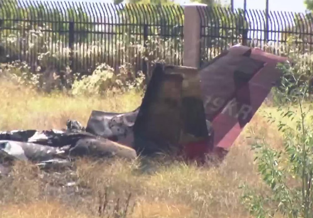
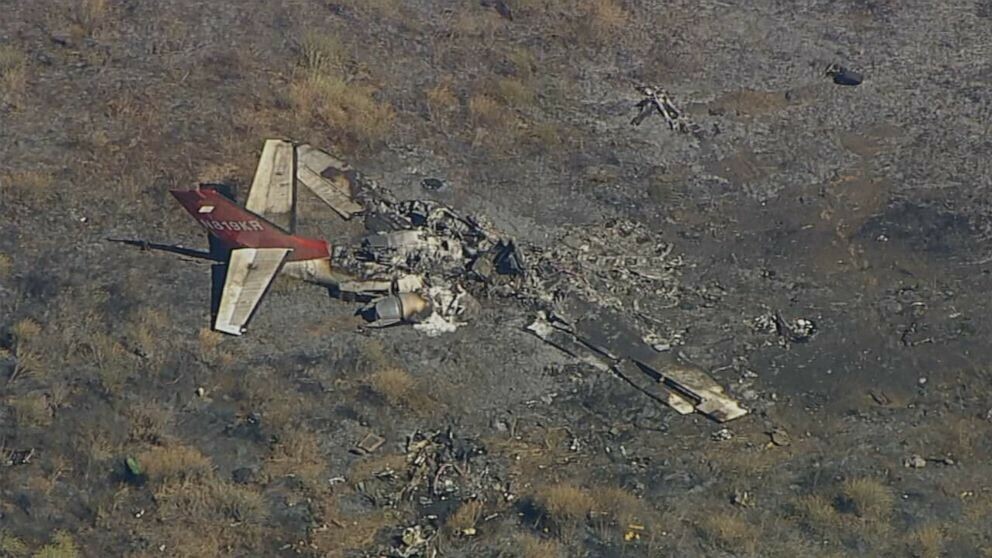
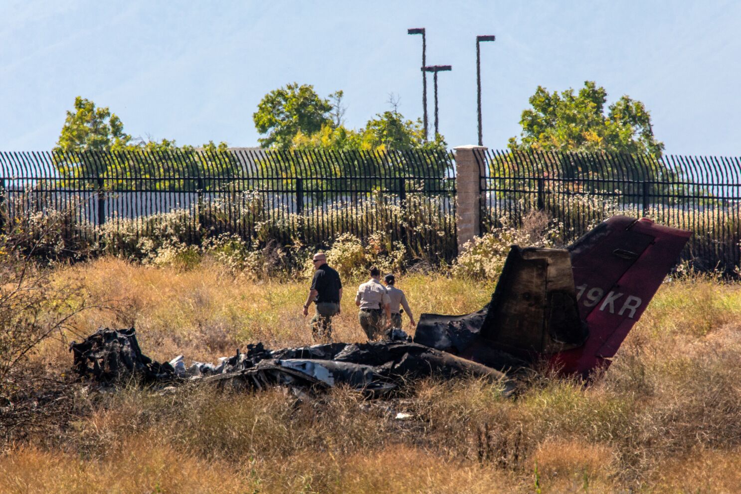
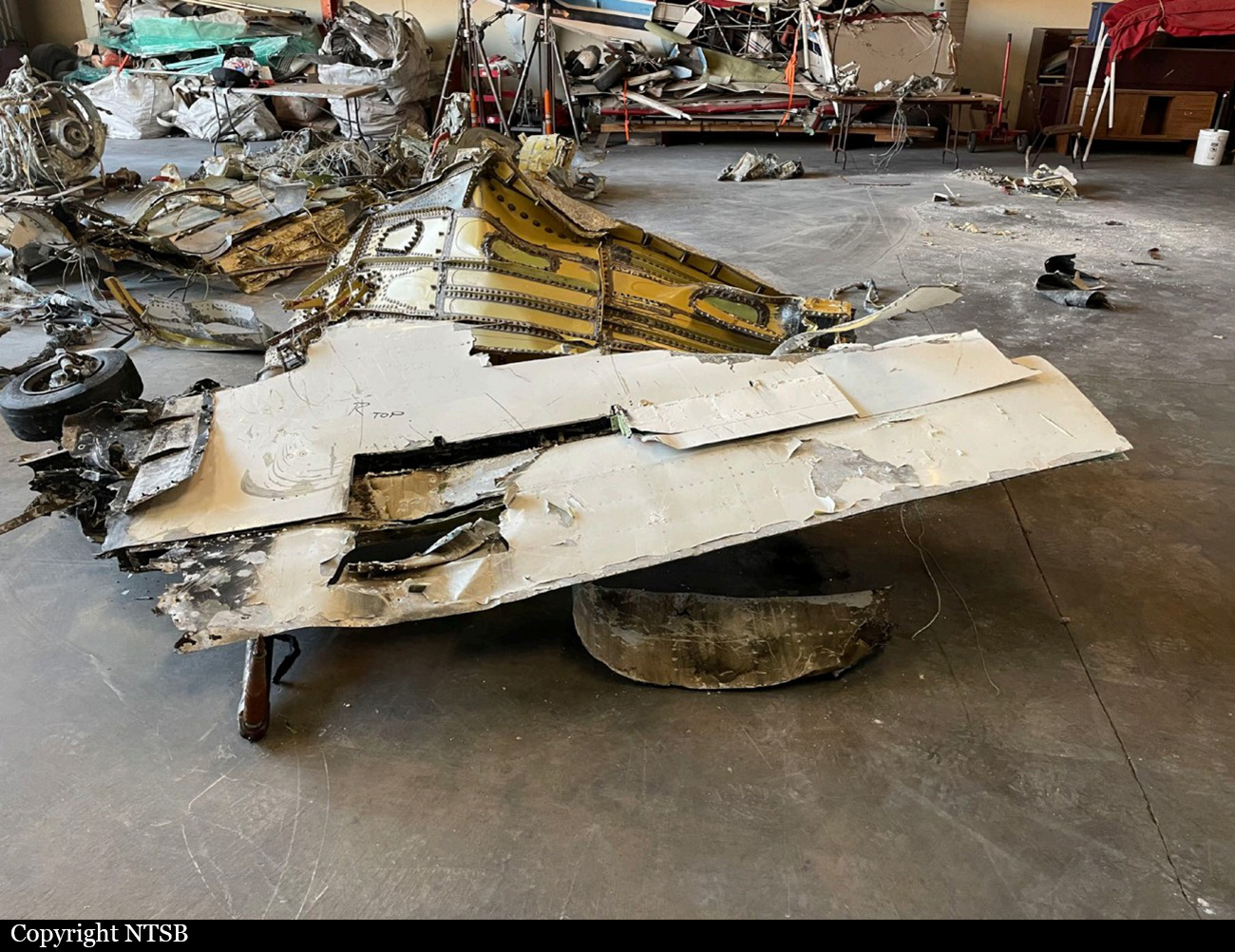
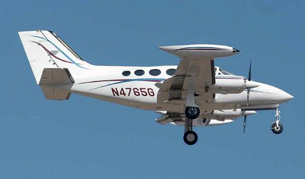
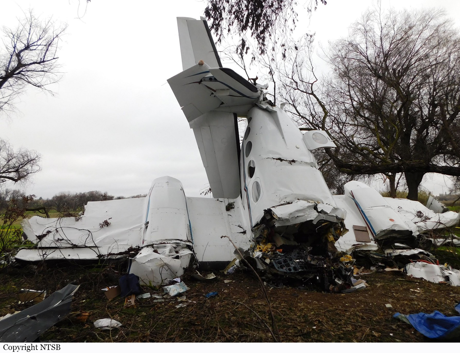
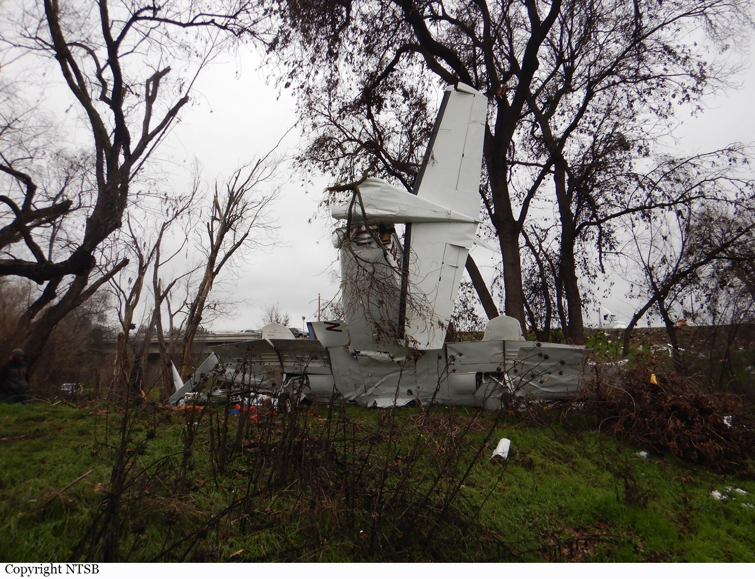
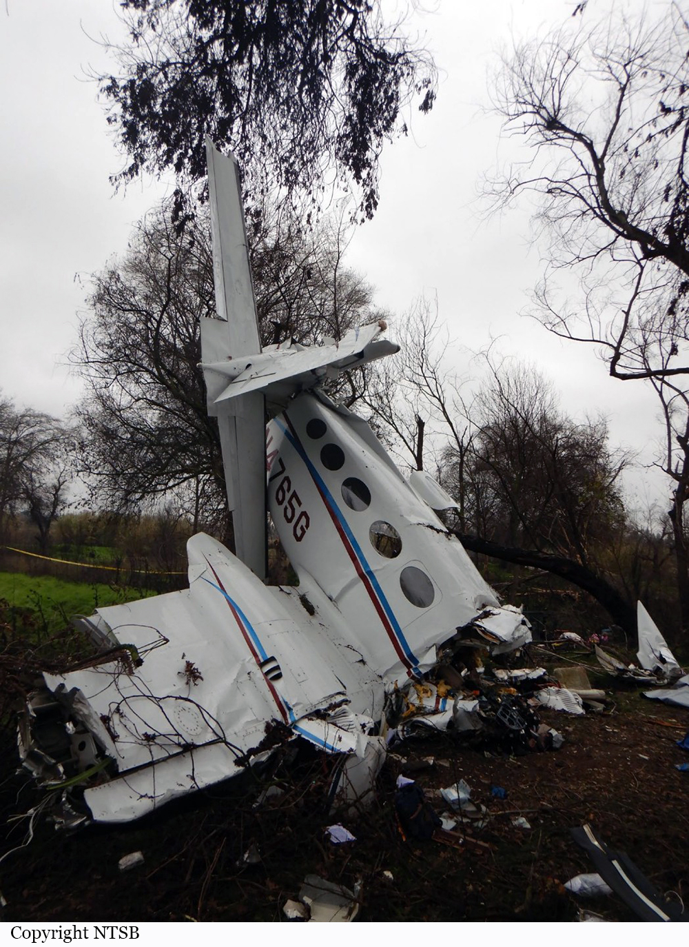
The accident airplane took off as the lead airplane in formation with a second Lear Jet airplane flying as wingman in a close formation position. The purpose of the flight was to participate in an exercise with the United States Navy in an over-water training area. Shortly after entering the training area at 15,000 ft mean sea level (msl) the wingman positioned on the right side of the accident airplane, observed the flaps on the accident airplane were partially extended. They notified the pilot of the accident airplane who acknowledged the radio call. The wingman then observed the flaps retract and observed white or gray colored “smoke or gas” coming from the left aft side of the airplane. The pilot in the accident airplane then radioed that they detected an odor in the cabin. Seconds later, the wingman observed red fluid on the underside of the tail cone followed by flames coming from around the aft equipment bay (tail cone) access door. They informed the accident pilots that their airplane was on fire and the accident pilot declared an emergency along with their intentions to land at a nearby airfield on the island. The wingman took over leading the formation and maneuvered in front of the accident airplane. The wingman last observed and heard radio transmissions from the accident airplane a short time later as they descended through about 7000 ft msl. The flight was above an overcast cloud layer that obstructed the view of the island at that time. Recorded ADS-B data showed that the accident airplane subsequently made a series of descending turns before the data ended. The airplane wreckage was located underwater about 4 miles northwest of the last ADS-B data point. The wreckage was highly fragmented, and the debris field extended several hundred feet along the ocean floor. Salvage operations were able to recover about 40 percent of the airplane wreckage. Examination of the wreckage showed areas of smoke and fire damage in portions of the airplane from the center wing fuselage outboard through the left- and right-wing roots and aft throughout the empennage. The aft equipment bay forward bulkhead, which also served as the fuselage fuel tank aft bulkhead, exhibited damage on the upper left side consistent with exposure to a focused heat source such as a fire from a leak in a pressurized fuel or hydraulic line. Additional evidence of focused fire damage was identified in the left engine pylon, which was located outboard and adjacent to the aft equipment bay. The effected area of the pylon contained engine fire detection circuits. Examination of the hydraulic shutoff valves attached to the hydraulic reservoir found that the left hydraulic shutoff valve was closed and the right valve was in the open position. The position of the left hydraulic shutoff valve indicates the aircrew likely shut down the left engine due to a fire indication (A hydraulic valve will close if the FIRE PULL tee-handle switch is activated by the flight crew in the event an engine fire is detected). Investigators were unable to determine if the witnessed flap extension and retraction was initiated by activation of the flap selector switch or induced by fire damage. The aft equipment bay houses electrical equipment capable of providing an ignition source for a fire, and hydraulic and fuel system components capable of providing fuel for a fire in the event of a leak. The left fuel motive flow line was intact from the fuel pump up to the fuselage fitting, where the line passes through the fuselage skin into the aft equipment bay near the aft left engine mount. The fuselage fitting had the stainless-steel fuel line and b-nut attached on the outboard, engine side. The inboard, aft equipment bay side of the fitting did not have an aluminum b-nut attached or the line that connects the fitting to the motive flow valve. The left engine hydraulic pressure line and PT2 line, which pass through the fuselage into the aft equipment bay adjacent to the motive fuel line, each had aluminum b-nuts present on the interior side of their respective fuselage fittings and the interior lines for each was sheared at the fitting. The left fuel motive flow fuselage fitting and the hydraulic fluid return fitting were examined. No thermal damage was observed on the outboard nuts and attached portions of tubing. Examination of the threads on the inboard side of the motive flow fitting did not exhibit evidence of thread stripping and comparison between the two fittings did not reveal any physical differences to explain why one nut remained attached and the other did not. The reason the motive flow nut was missing from the fitting could not be determined. Observed fire and heat damage patterns indicate the fire likely started in proximity to the where the pressurized fuel motive flow line connected to the firewall fitting where the missing b-nut was located. A leak from the pressurized motive flow line would have sustained and allowed an uncontrollable fire to develop. The sustained fire likely affected controllability of the airplane and resulted in the pilots’ loss of control of the airplane.
Probable cause:
The pilots’ loss of airplane control following a catastrophic fire that started on the left side of the aft equipment bay (tail cone). The fire likely initiated from a leak from the left fuel motive flow line due to a b-nut that loosened for reasons that could not be determined based on available evidence.
Final Report: