Country
code

Queensland

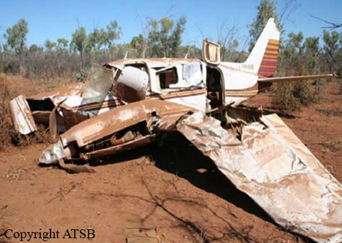
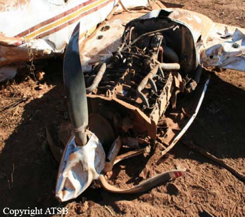
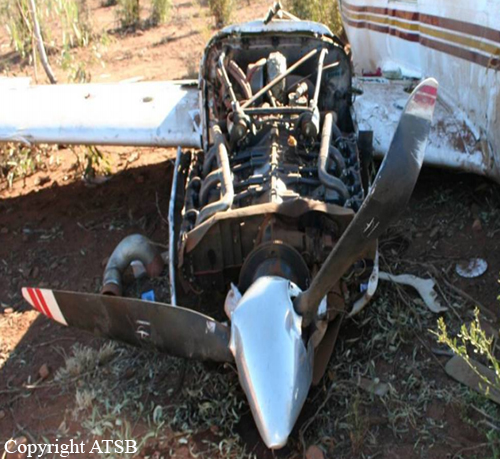
Crash of a Rockwell Shrike Commander 500S off Horn Island: 1 killed

Date & Time: Feb 24, 2011 at 0800 LT
Operator:
Registration:
VH-WZU
Flight Type:
Survivors:
No
Schedule:
Cairns - Horn Island
MSN:
3060
YOM:
1970
Country:
Region:
Crew on board:
1
Crew fatalities:
Pax on board:
0
Pax fatalities:
Other fatalities:
Total fatalities:
1
Captain / Total flying hours:
4154
Captain / Total hours on type:
209.00
Aircraft flight hours:
17545
Circumstances:
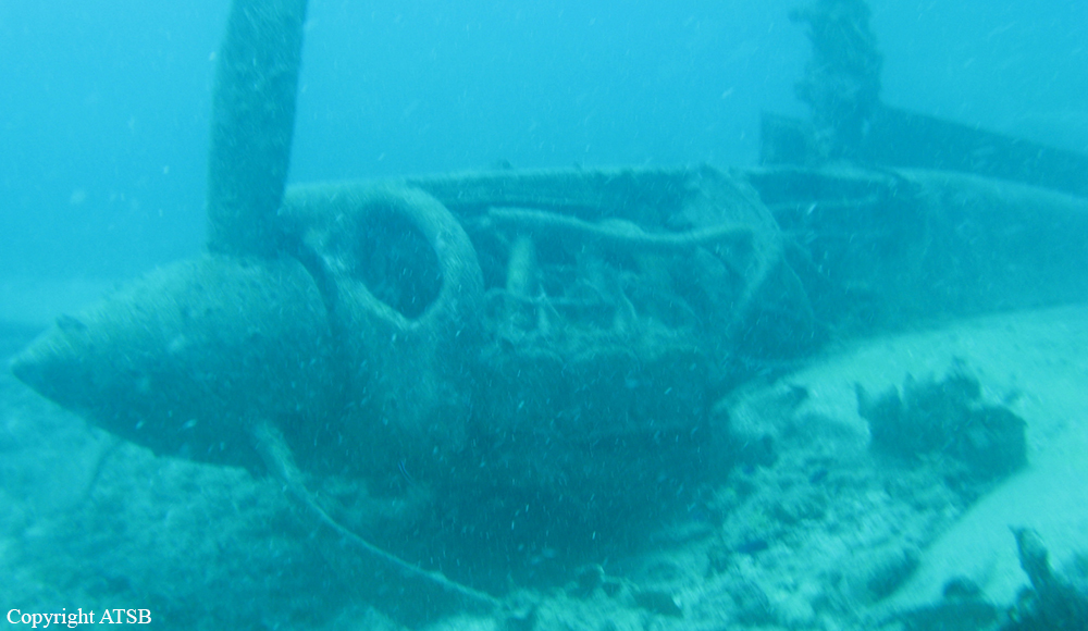
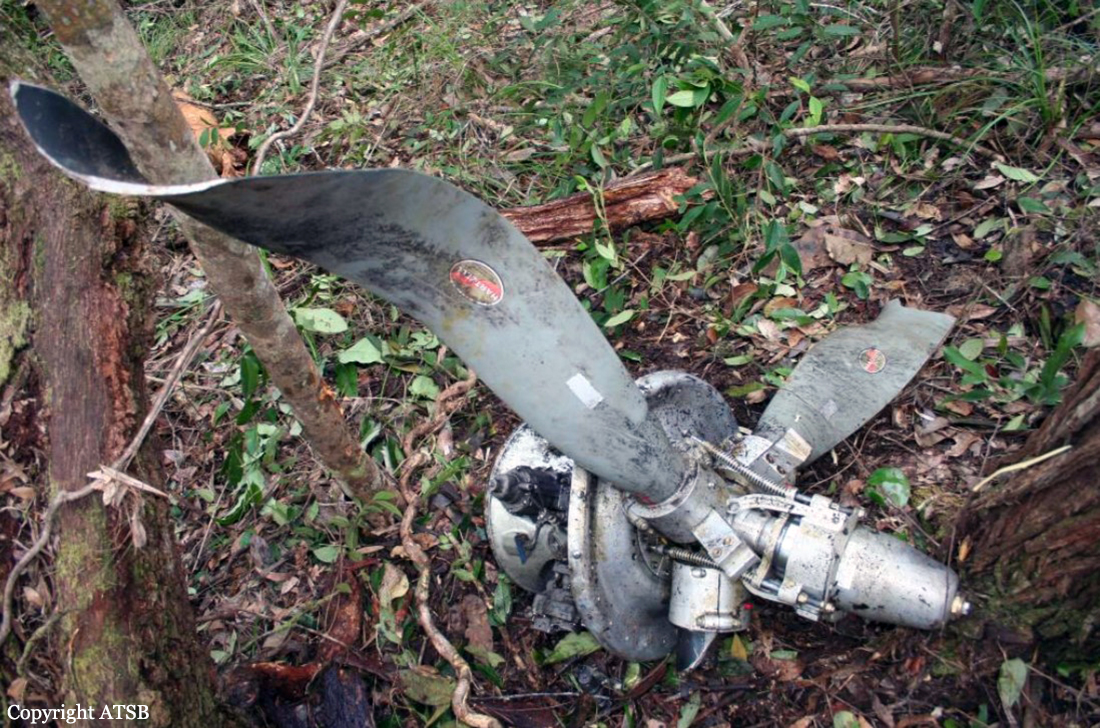
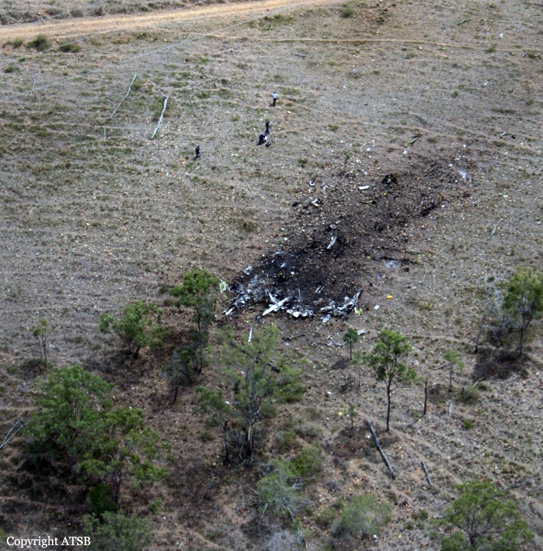
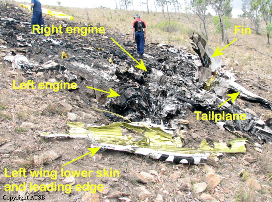
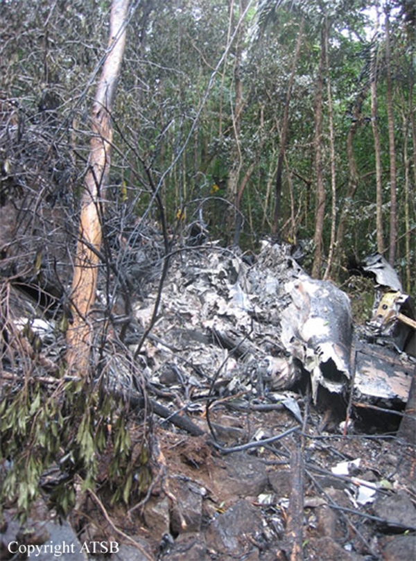
At 0445 Eastern Standard Time on 24 February 2011, the pilot of an Aero Commander 500S, registered VH-WZU, commenced a freight charter flight from Cairns to Horn Island, Queensland under the instrument flight rules. The aircraft arrived in the Horn Island area at about 0720 and the pilot advised air traffic control that he intended holding east of the island due to low cloud and rain. At about 0750 he advised pilots in the area that he was north of Horn Island and was intending to commence a visual approach. When the aircraft did not arrive a search was commenced but the pilot and aircraft were not found. On about 10 October 2011, the wreckage was located on the seabed about 26 km north-north-west of Horn Island.
Probable cause:
The ATSB found that the aircraft had not broken up in flight and that it impacted the water at a relatively low speed and a near wings-level attitude, consistent with it being under control at impact. It is likely that the pilot encountered rain and reduced visibility when manoeuvring to commence a visual approach. However, there was insufficient evidence available to determine why the aircraft impacted the water.
Several aspects of the flight increased risk. The pilot had less than 4 hours sleep during the night before the flight and the operator did not have any procedures or guidance in place to minimize the fatigue risk associated with early starts. In addition, the pilot, who was also the operator’s chief pilot, had either not met the recency requirements or did not have an endorsement to conduct the types of instrument approaches available at Horn Island and several other locations frequently used by the operator.
Final Report:

Crash of a Fletcher FU-24A-954 in Wynella Station: 1 killed

Date & Time: Dec 20, 2010 at 1700 LT
Type of aircraft:
Registration:
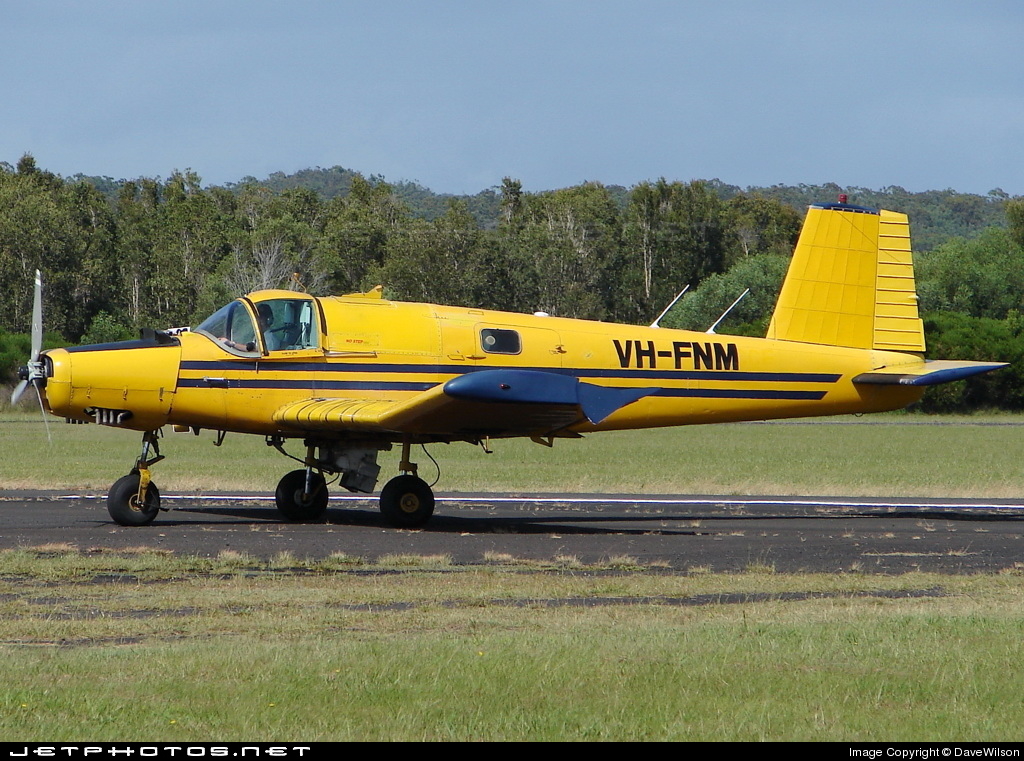
VH-FNM
Survivors:
No
Schedule:
Wynella Station - Wynella Station
MSN:
263
YOM:
1979
Country:
Region:
Crew on board:
1
Crew fatalities:
Pax on board:
0
Pax fatalities:
Other fatalities:
Total fatalities:
1
Captain / Total flying hours:
5815
Circumstances:
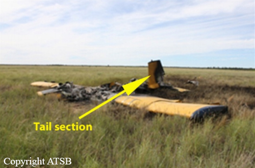
On 20 December 2010, the owner/pilot of a Pacific Aerospace Corporation FU-24-954 Fletcher aircraft, registered VH-FNM, was conducting aerial spreading of urea fertilizer at Wynella Station; a property 40 km south-south-west of Dirranbandi, Queensland. At about 1650 Eastern Standard Time, the pilot was returning to the landing strip after the completion of an application run. The aircraft impacted the terrain, and the pilot was fatally injured.
Probable cause:
Examination of the accident site indicated that the aircraft’s engine was delivering power at the time of impact. Wreckage examination did not reveal evidence of any defect or mechanical failure that would have contributed to the event. Although the post-mortem report on the pilot noted that he had significant coronary atherosclerosis, there was insufficient information available to determine whether pilot incapacitation was involved in the accident. The investigation did not identify any organisational or systemic issues that might adversely affect the future safety of aviation
operations.
Final Report:

Crash of a Piper PA-31-310 Navajo Chieftain in Mount Isa

Date & Time: Jul 17, 2008 at 0915 LT
Type of aircraft:
Operator:
Registration:
VH-IHR
Flight Type:
Survivors:
Yes
Schedule:
Century Mine - Mount Isa
MSN:
31-8012077
YOM:
1980
Country:
Region:
Crew on board:
1
Crew fatalities:
Pax on board:
0
Pax fatalities:
Other fatalities:
Total fatalities:
0
Captain / Total flying hours:
469
Captain / Total hours on type:
30.00
Circumstances:
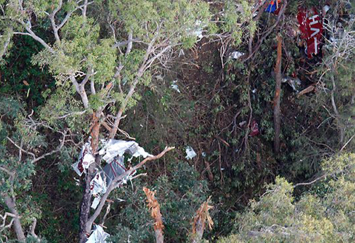
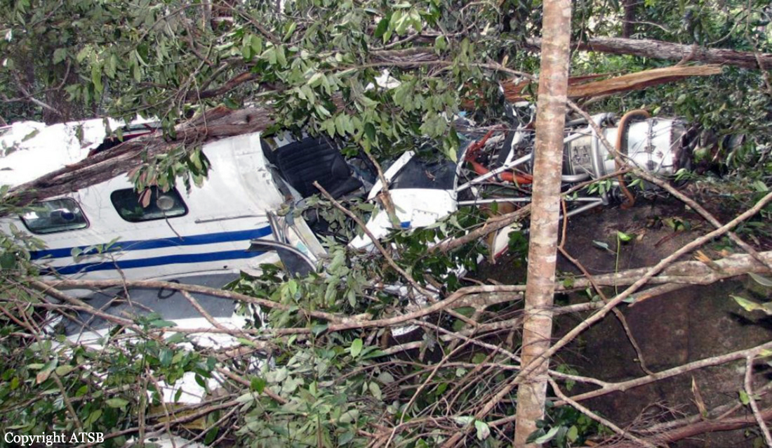
On 17 July 2008, at approximately 0915 Eastern Standard Time1, the pilot of a Piper Navajo PA-31 aircraft, registered VH-IHR, was en route from Century Mine, Qld to Mt Isa, Qld when the left engine lost power. The pilot transmitted an urgency broadcast (PAN) to air traffic control (ATC). A short time later, the right engine also lost power. The pilot then transmitted a distress signal (MAYDAY) to ATC stating his intention to carry out an off-field emergency landing. The aircraft impacted terrain 22 km north of Mt Isa, about 4 km from the Barkly Highway, in relatively flat, sparsely wooded bushland (Figure 1). The pilot, who was the sole occupant, sustained serious injuries.
Probable cause:
From the evidence available, the following findings are made with respect to the fuel starvation event and should not be read as apportioning blame or liability to any particular organisation or individual.
- The pilot did not monitor outboard fuel tank quantity during the flight.
- The pilot incorrectly diagnosed the engine power losses.
- The aircraft was not in the correct configuration for the forced landing.
Final Report:

Crash of a PAC Cresco 08-600 near Tully: 1 killed

Date & Time: Aug 16, 2007 at 1513 LT
Type of aircraft:
Registration:
VH-XMN
Flight Phase:
Flight Type:
Survivors:
No
Site:
Schedule:
Ingham - Tully
MSN:
036
YOM:
2002
Country:
Region:
Crew on board:
1
Crew fatalities:
Pax on board:
0
Pax fatalities:
Total fatalities:
1
Captain / Total flying hours:
397
Captain / Total hours on type:
138.00
Circumstances:
The pilot was ferrying the aircraft under the visual flight rules (VFR) from the operator’s base at Tully, Qld to Ingham and return. The flights, conducted in the private category without passengers, were to allow aircraft maintenance to be conducted at Ingham. The flight from Tully to Ingham was conducted in the morning, with no reported difficulties. At 1454 Eastern Standard Time, the pilot departed Ingham on the return flight to Tully. The aircraft did not arrive at Tully. It was not until the next day that the pilot and aircraft were reported missing. Australian Search and Rescue (AusSAR) was notified and a search, based on the last air traffic control radar observed position of an unidentified aircraft from a replay of recorded radar data together with witness reports from the area, was initiated. Searchers located the aircraft wreckage on the morning of 18 August. The aircraft had impacted mountainous terrain in a state forest 24 km south of Tully. The pilot was fatally injured and the aircraft was destroyed.
Probable cause:
Contributing safety factors:
• The aircraft probably entered an area of weather that deteriorated below visual meteorological conditions and for which the pilot was not experienced or qualified.
• The pilot probably became unsure of his position in poor visibility, leading to controlled flight into terrain, fatally injuring the pilot and destroying the aircraft.
Other safety factors:
• The aircraft had not been configured for poor visibility operations, possibly increasing the pilot’s difficulty in navigating.
• The pilot did not submit any form of flight notification such as a SARTIME or Flight Note, as required for a flight in a designated remote area, resulting in a delay to the search and rescue response.
• The operator did not have procedures to provide assurance that a search and rescue would be initiated in a timely way if one of their aircraft did not arrive at the planned destination. [Safety issue]
• As a result of damage to the emergency locator beacon antenna, the beacon did not alert search and rescue organisations to the aircraft accident.
Final Report:

Crash of a Piper PA-31-350 Navajo Chieftain near Raglan: 3 killed

Date & Time: Oct 31, 2006 at 1855 LT
Operator:
Registration:
VH-ZGZ
Flight Phase:
Flight Type:
Survivors:
No
Schedule:
Emerald – Gladstone
MSN:
31-7752006
YOM:
1977
Country:
Region:
Crew on board:
1
Crew fatalities:
Pax on board:
2
Pax fatalities:
Other fatalities:
Total fatalities:
3
Captain / Total flying hours:
3900
Captain / Total hours on type:
70.00
Aircraft flight hours:
3977
Circumstances:
The aircraft was being operated on a private category instrument flight rules (IFR) flight from Emerald to Gladstone, Qld. On board the aircraft were the pilot in command and two passengers. One of the passengers was a qualified pilot, but who was not endorsed on the aircraft type. After departing Emerald at 1807 Eastern Standard Time, the pilot contacted air traffic control and reported climbing to 7,000 ft with an estimated time of arrival at Gladstone of 1915. At 1813:25, air traffic control advised the pilot that ZGZ was radar identified 15 NM east of Emerald. At 1815:12, the pilot requested clearance to climb to 9,000 ft. At 1817:05, air traffic control issued a clearance to the pilot for the aircraft to climb 9,000 ft, and to track direct to Gladstone. At 1820:26, the pilot reported level at 9,000 ft and requested clearance to divert up to 10 NM left and right of track to avoid anticipated weather activity ahead. Air traffic control approved that request. At 1830:56, the pilot requested clearance to divert up to 15 NM left and right of track, and 10 seconds later changed the request to 15 NM left of track. Air traffic control approved that request. At 1835:17, the pilot reported clear of the weather and requested clearance to track direct to Gladstone and to descend to 7,000 ft. Air traffic control approved those requests. At 1848:52, the pilot reported at ‘top of descent’ to Gladstone. Air traffic control cleared the pilot to descend. At 1852:45, the pilot reported changing frequency to the Gladstone common traffic advisory frequency (CTAF). Air traffic control advised the pilot that the aircraft was leaving 5,500 ft and that the radar and control services were terminated. The pilot acknowledged that transmission at 1852:57. Approximately 3 minutes later, at 1855:45, air traffic control noticed that the aircraft’s symbol was no longer evident on the air situation display screen and the controller attempted to contact the pilot of the aircraft by radio. The controller also requested pilots of other aircraft operating in the Gladstone area to attempt to contact the pilot of ZGZ on the Gladstone CTAF frequency. All attempts were unsuccessful. A witness in the Raglan area recalled hearing the sound of aircraft engine(s) overhead. He then heard the engine(s) ‘roar and shut off again’ a few times. A short time later, he saw a flash and a few seconds later heard the sound of an explosion. He realised that the aircraft had crashed and telephoned the Gladstone Police. Subsequently, wreckage of the aircraft was located near Raglan, approximately 39 km west of Gladstone. The three occupants were fatally injured. The aircraft was destroyed by impact forces and post-impact fire.
Probable cause:
From the evidence available, the following findings are made with respect to the loss of control event involving Piper Aircraft Corporation PA-31-350 aircraft registered VH-ZGZ and should not be read as apportioning blame or liability to any particular organisation or individual.
Contributing safety factors:
• The aircraft diverged left from a steady, controlled descent and entered a steep, left spiral descent from which recovery was not achieved.
Other safety factors:
• The dark and very likely cloudy conditions that existed in the area where the aircraft suddenly diverged from its flight path meant that recovery to normal flight could only have been achieved by sole reference to the aircraft’s flight instruments. The difficulty associated with such a task when the aircraft was in a steep descent was likely to have been significant.
Final Report:

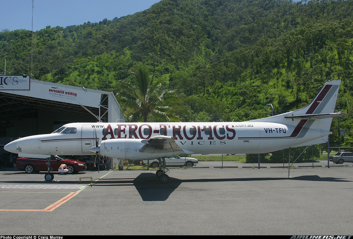
Crash of a Swearingen SA227DC Metro 23 in Lockhart River: 15 killed

Date & Time: May 7, 2005 at 1144 LT
Type of aircraft:
Operator:
Registration:
VH-TFU
Survivors:
No
Site:
Schedule:
Bamaga – Lockhart River – Cairns
MSN:
DC-818B
YOM:
1992
Flight number:
HC675
Country:
Region:
Crew on board:
2
Crew fatalities:
Pax on board:
13
Pax fatalities:
Other fatalities:
Total fatalities:
15
Captain / Total flying hours:
6071
Captain / Total hours on type:
3248.00
Copilot / Total flying hours:
655
Copilot / Total hours on type:
150
Aircraft flight hours:
26877
Aircraft flight cycles:
28529
Circumstances:
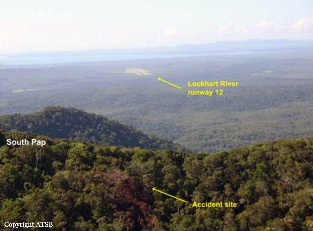
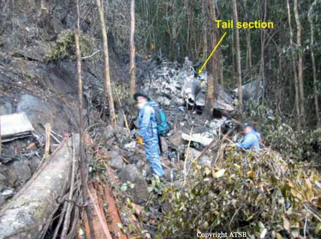
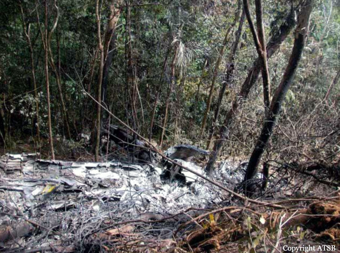
On 7 May 2005, a Fairchild Aircraft Inc. SA227DC Metro 23 aircraft, registered VH-TFU, with two pilots and 13 passengers, was being operated by Transair on an instrument flight rules (IFR) regular public transport (RPT) service from Bamaga to Cairns, with an intermediate stop at Lockhart River, Queensland. At 1143:39 Eastern Standard Time, the aircraft impacted terrain in the Iron Range National Park on the north-western slope of South Pap, a heavily timbered ridge, approximately 11 km north-west of the Lockhart River aerodrome. At the time of the accident, the crew was conducting an area navigation global navigation satellite system (RNAV (GNSS)) non-precision approach to runway 12. The aircraft was destroyed by the impact forces and an intense, fuel-fed, post-impact fire. There were no survivors. The accident was almost certainly the result of controlled flight into terrain; that is, an airworthy aircraft under the control of the flight crew was flown unintentionally into terrain, probably with no prior awareness by the crew of the aircraft’s proximity to terrain. Weather conditions in the Lockhart River area were poor and necessitated the conduct of an instrument approach procedure for an intended landing at the aerodrome. The cloud base was probably between 500 ft and 1,000 ft above mean sea level and the terrain to the west of the aerodrome, beneath the runway 12 RNAV (GNSS) approach, was probably obscured by cloud. The flight data recorder (FDR) data showed that, during the entire descent and approach, the aircraft engine and flight control system parameters were normal and that the crew were accurately navigating the aircraft along the instrument approach track. The FDR data and wreckage examination showed that the aircraft was configured for the approach, with the landing gear down and flaps extended to the half position. There were no radio broadcasts made by the crew on the air traffic services frequencies or the Lockhart River common traffic advisory frequency indicating that there was a problem with the aircraft or crew.
Probable cause:
Contributing factors relating to occurrence events and individual actions:
- The crew commenced the Lockhart River Runway 12 RNAV (GNSS) approach, even though the crew were aware that the copilot did not have the appropriate endorsement and had limited experience to conduct this type of instrument approach.
- The descent speeds, approach speeds and rate of descent were greater than those specified for the aircraft in the Transair Operations Manual. The speeds and rate of descent also exceeded those appropriate for establishing a stabilised approach.
- During the approach, the aircraft descended below the segment minimum safe altitude for the aircraft's position on the approach.
- The aircraft's high rate of descent, and the descent below the segment minimum safe altitude, were not detected and/or corrected by the crew before the aircraft collided with terrain.
- The accident was almost certainly the result of controlled flight into terrain.

Contributing factors relating to local conditions:
- The crew probably experienced a very high workload during the approach.
- The crew probably lost situational awareness about the aircraft's position along the approach.
- The pilot in command had a previous history of conducting RNAV (GNSS) approaches with crew without appropriate endorsements, and operating the aircraft at speeds higher than those specified in the Transair Operations Manual.
- The Lockhart River Runway 12 RNAV (GNSS) approach probably created higher pilot workload and reduced position situational awareness for the crew compared with most other instrument approaches. This was due to the lack of distance referencing to the missed approach point throughout the approach, and the longer than optimum final approach segment with three altitude limiting steps.
- The copilot had no formal training and limited experience to act effectively as a crew member during a Lockhart River Runway 12 RNAV (GNSS) approach.

Contributing factors relating to Transair processes:
- Transair's flight crew training program had significant limitations, such as superficial or incomplete ground-based instruction during endorsement training, no formal training for new pilots in the operational use of GPS, no structured training on minimising the risk of controlled flight into terrain, and no structured training in crew resource management and operating effectively in a multi-crew environment. (Safety Issue)
- Transair's processes for supervising the standard of flight operations at the Cairns base had significant limitations, such as not using an independent approved check pilot to review operations, reliance on passive measures to detect problems, and no defined processes for selecting and monitoring the performance of the base manager. (Safety Issue)
- Transair's standard operating procedures for conducting instrument approaches had significant limitations, such as not providing clear guidance on approach speeds, not providing guidance for when to select aircraft configuration changes during an approach, no clear criteria for a stabilised approach, and no standardised phraseology for challenging safety-critical decisions and actions by other crew members. (Safety Issue)
- Transair had not installed a terrain awareness and warning system, such as an enhanced ground proximity warning system, in VH-TFU.
- Transair's organisational structure, and the limited responsibilities given to non-management personnel, resulted in high work demands on the chief pilot. It also resulted in a lack of independent evaluation of training and checking, and created disincentives and restricted opportunities within Transair to report safety concerns with management decision making. (Safety Issue)
- Transair did not have a structured process for proactively managing safety related risks associated with its flight operations. (Safety Issue)
- Transair's chief pilot did not demonstrate a high level of commitment to safety. (Safety Issue)

Contributing factors relating to the Civil Aviation Safety Authority processes:
- CASA did not provide sufficient guidance to its inspectors to enable them to effectively and consistently evaluate several key aspects of operator management systems. These aspects included evaluating organisational structure and staff resources, evaluating the suitability of key personnel, evaluating organisational change, and evaluating risk management processes. (Safety Issue)
- CASA did not require operators to conduct structured and/or comprehensive risk assessments, or conduct such assessments itself, when evaluating applications for the initial issue or subsequent variation of an Air Operator's Certificate. (Safety Issue)

Other factors relating to local conditions:
- There was a significant potential for crew resource management problems within the crew in high workload situations, given that there was a high trans-cockpit authority gradient and neither pilot had previously demonstrated a high level of crew resource management skills.
- The pilots' endorsements, clearance to line operations, and route checks did not meet all the relevant regulatory and operations manual requirements to conduct RPT flights on the Metro aircraft.
- Some cockpit displays and annunciators relevant to conducting an instrument approach were in a sub-optimal position in VH-TFU for useability or attracting the attention of both pilots.

Other factors relating to instruments approaches:
- Based on the available evidence, the Lockhart River Runway 12 RNAV (GNSS) approach design resulted in mode 2A ground proximity warning system alerts and warnings when flown on the recommended profile or at the segment minimum safe altitudes. (Safety Issue)
- The Australian convention for waypoint names in RNAV (GNSS) approaches did not maximise the ability to discriminate between waypoint names on the aircraft global positioning system display and/or on the approach chart. (Safety Issue)
- There were several design aspects of the Jeppesen RNAV (GNSS) approach charts that could lead to pilot confusion or reduction in situational awareness. These included limited reference regarding the 'distance to run' to the missed approach point, mismatches in the vertical alignment of the plan-view and profile-view on charts such as that for the Lockhart River runway 12 approach, use of the same font size and type for waypoint names and 'NM' [nautical miles], and not depicting the offset in degrees between the final approach track and the runway centreline. (Safety Issue)
- Jeppesen instrument approach charts depicted coloured contours on the plan-view of approach charts based on the maximum height of terrain relative to the airfield only, rather than also considering terrain that increases the final approach or missed approach procedure gradient to be steeper than the optimum. Jeppesen instrument approach charts did not depict the terrain profile on the profile-view although the segment minimum safe altitudes were depicted. (Safety Issue)
- Airservices Australia's instrument approach charts did not depict the terrain contours on the plan-view. They also did not depict the terrain profile on the profile-view, although the segment minimum safe altitudes were depicted. (Safety Issue)

Other factors relating to Transair processes:
- Transair's flight crew proficiency checking program had significant limitations, such as the frequency of proficiency checks and the lack of appropriate approvals of many of the pilots conducting proficiency checks. (Safety Issue)
- The Transair Operations Manual was distributed to company pilots in a difficult to use electronic format, resulting in pilots minimising use of the manual. (Safety Issue) Other factors relating to regulatory requirements and guidance
- Although CASA released a discussion paper in 2000, and further development had occurred since then, there was no regulatory requirement for initial or recurrent crew resource management training for RPT operators. (Safety Issue)
- There was no regulatory requirement for flight crew undergoing a type rating on a multi-crew aircraft to be trained in procedures for crew incapacitation and crew coordination, including allocation of pilot tasks, crew cooperation and use of checklists. This was required by ICAO Annex 1 to which Australia had notified a difference. (Safety Issue)
- The regulatory requirements concerning crew qualifications during the conduct of instrument approaches in a multi-crew RPT operation was potentially ambiguous as to whether all crew members were required to be qualified to conduct the type of approach being carried out. (Safety Issue)
- CASA's guidance material provided to operators about the structure and content of an operations manual was not as comprehensive as that provided by ICAO in areas such as multi-crew procedures and stabilised approach criteria. (Safety Issue)
- Although CASA released a discussion paper in 2000, and further development and publicity had occurred since then, there was no regulatory requirement for RPT operators to have a safety management system. (Safety Issue)
- There was no regulatory requirement for instrument approach charts to include coloured contours to depict terrain. This was required by a standard in ICAO Annex 4 in certain situations. Australia had not notified a difference to the standard. (Safety Issue)
- There was no regulatory requirement for multi-crew RPT aircraft to be fitted with a serviceable autopilot. (Safety Issue)

Other factors relating to Civil Aviation Safety Authority processes:
- CASA's oversight of Transair, in relation to the approval of Air Operator's Certificate variations and the conduct of surveillance, was sometimes inconsistent with CASA's policies, procedures and guidelines.
- CASA did not have a systematic process for determining the relative risk levels of airline operators. (Safety Issue)
- CASA's process for evaluating an operations manual did not consider the useability of the manual, particularly manuals in electronic format. (Safety Issue)
- CASA's process for accepting an instrument approach did not involve a systematic risk assessment of pilot workload and other potential hazards, including activation of a ground proximity warning system. (Safety Issue) Other key findings An 'other key finding' is defined as any finding, other than that associated with safety factors, considered important to include in an investigation report. Such findings may resolve ambiguity or controversy, describe possible scenarios or safety factors when firm safety factor findings were not able to be made, or note events or conditions which 'saved the day' or played an important role in reducing the risk associated with an occurrence.
- It was very likely that both crew members were using RNAV (GNSS) approach charts produced by Jeppesen.
- The cockpit voice recorder did not function as intended due to an internal fault that had developed sometime before the accident flight and that was not discovered or diagnosed by flight crew or maintenance personnel.
- There was no evidence to indicate that the GPWS did not function as designed.
- There would have been insufficient time for the crew to effectively respond to the GPWS alert and warnings that were probably annunciated during the final 5 seconds prior to impact with terrain.
Final Report:

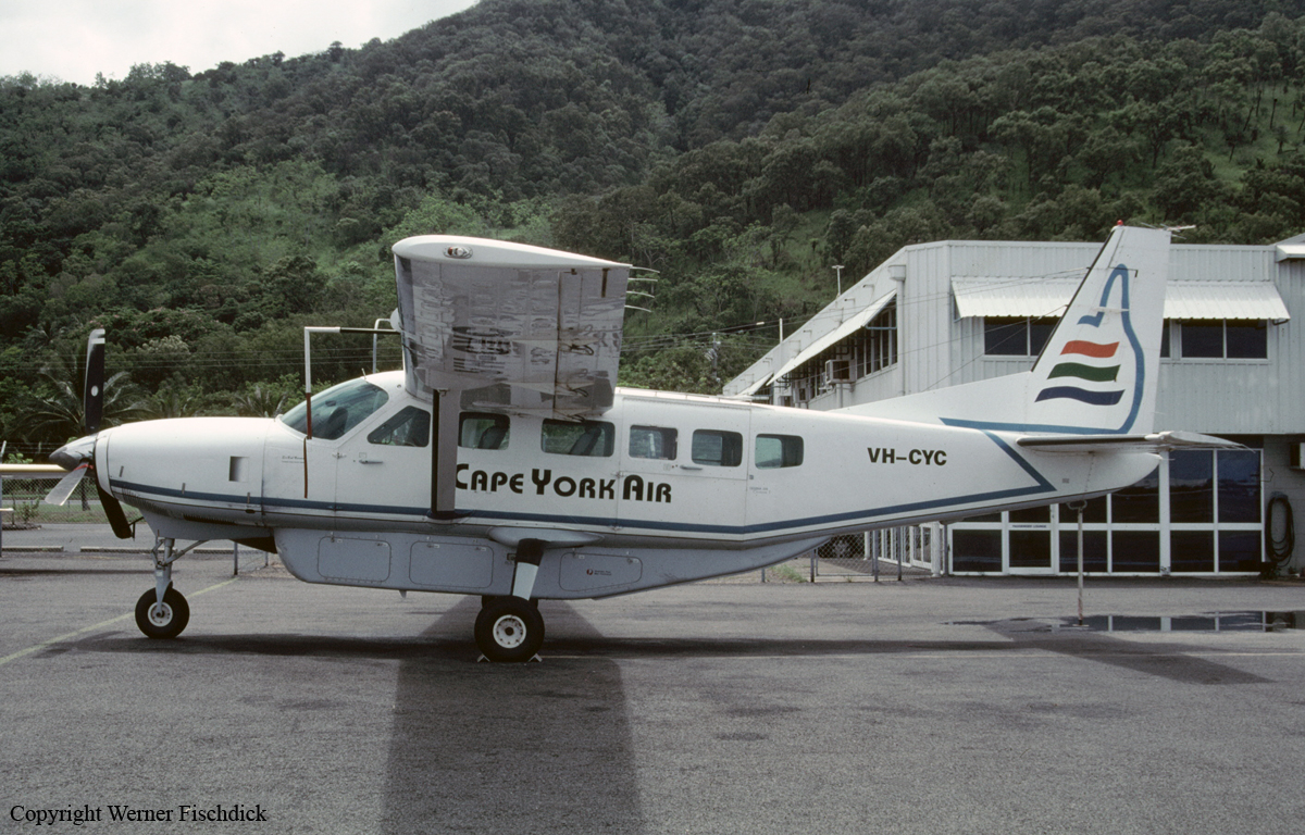
Crash of a Cessna 208 Caravan I off Green Island

Date & Time: Feb 8, 2004 at 1610 LT
Type of aircraft:
Operator:
Registration:
VH-CYC
Flight Phase:
Flight Type:
Survivors:
Yes
Schedule:
Cairns - Cairns
MSN:
208-0108
YOM:
1986
Country:
Region:
Crew on board:
1
Crew fatalities:
Pax on board:
1
Pax fatalities:
Other fatalities:
Total fatalities:
0
Captain / Total flying hours:
5333
Captain / Total hours on type:
211.00
Circumstances:
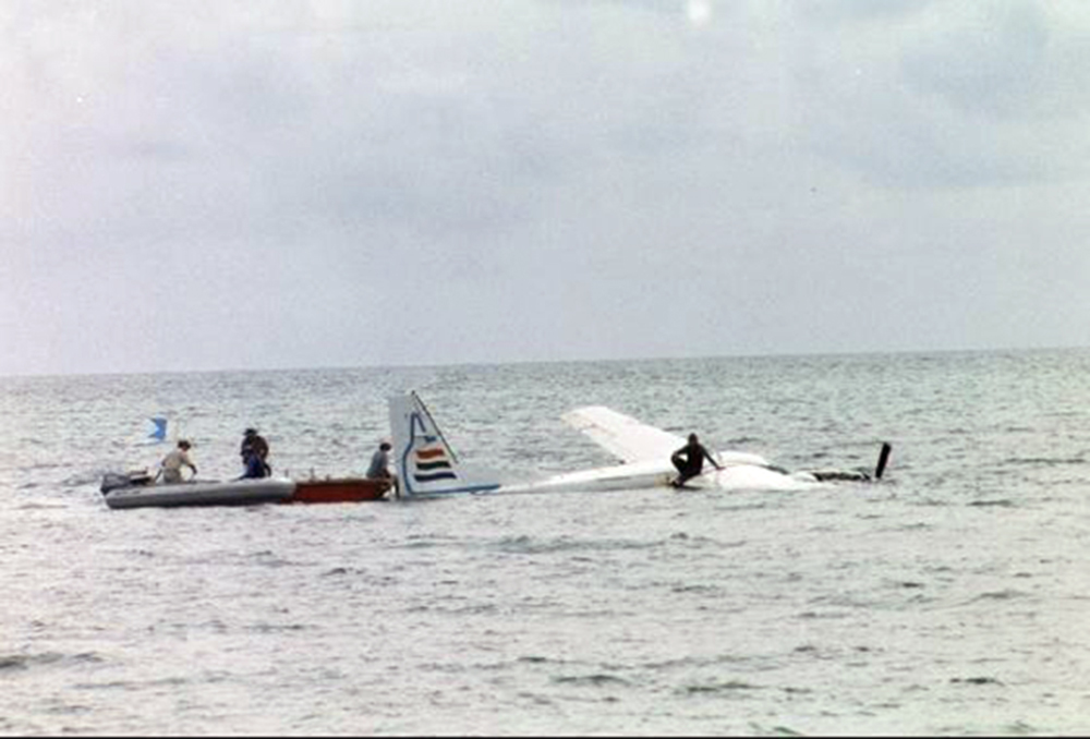
The aircraft, with two pilots on board, was being operated for pilot type endorsement training. Air Traffic Control (ATC) had cleared the pilots to conduct upper level air work between 4,000 and 5,000 ft above mean sea level (AMSL) within a 5 NM radius of Green Island, Queensland. Following the upper level air work, the crew requested, and were granted a clearance for, a simulated engine failure and descent to 2,000 ft. The pilot in command (PIC) reported that while completing the simulated engine failure training, he had retarded the power lever to the FLIGHT IDLE stop and the fuel condition lever to the LOW IDLE range, setting a value of 55% engine gas generator speed (Ng). The pilot under training then set the glide attitude at the best glide speed (for the operating weight) of about 79 knots indicated airspeed (KIAS). The PIC then instructed the pilot under training to place the propeller into the feathered position, and maintain best glide speed. The PIC reported that he instructed the pilot under training to advance the emergency power lever (EPL) to simulate manual introduction of fuel to the engine. According to the PIC, he then noticed that there was no engine torque increase, with the engine inter-turbine temperature (ITT or T5) and Ng rapidly decreasing, and a strong smell of fuel in the cockpit. While the pilot under training flew the aircraft, the PIC placed the ignition switch to the ON position and also selected START on the engine starter switch. He then reportedly placed the EPL to the CLOSED position, the propeller to the UNFEATHERED position and the fuel condition lever to the IDLE CUTOFF position to clear the excess fuel from the engine. The PIC reported that they then increased the aircraft airspeed to 120 KIAS, at which point he reintroduced fuel into the engine by advancing the fuel condition lever. He reported that following these actions, the strong fuel smell persisted. As the aircraft approached 1,500 ft, the PIC broadcast a MAYDAY, informing ATC that they had a 'flameout' of the engine and that they were going to complete a forced landing water ditching near Green Island. While the pilot under training flew the aircraft, the PIC placed the propeller into the feathered position, closed the fuel condition lever to the IDLE CUTOFF position and turned off the starter and ignition switches. They then completed a successful landing in a depth of about 2 m of water near Green Island. The pilots evacuated the aircraft without injury. The aircraft, which sustained minor damage during the ditching, but subsequent substantial damage due to salt water immersion, was recovered to the mainland. Following examination of all connections and control linkages, the engine was removed for examination under the supervision of the Australian Transport Safety Bureau (ATSB) at the engine manufacturer's overhaul facility. The engine trend monitoring (ETM) data logger was also removed from the aircraft for examination.
Probable cause:
The following factors were identified:
1. The pilots of CYC were conducting in-flight familiarization training using the emergency power lever. That procedure was not contained in the aircraft manufacturer's pilot operating handbook.
2. The engine manufacturer's documentation contained information on the use of the emergency power lever, which did not preclude the use of the emergency power lever for in-flight familiarization training.
3. The engine sustained a flameout at an altitude above mean sea level from which reignition of the engine was not successfully completed.
4. Erosion of the first-stage compressor blades would have reduced the aerodynamic efficiency of the compressor blades.
Final Report:

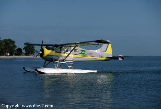
Crash of a De Havilland DHC-2 Beaver off Whitsunday Island

Date & Time: Mar 6, 2003 at 1615 LT
Type of aircraft:
Operator:
Registration:
VH-AQV
Flight Type:
Survivors:
Yes
Schedule:
Hamilton Island - Whitsunday Island
MSN:
1257
YOM:
1958
Country:
Region:
Crew on board:
1
Crew fatalities:
Pax on board:
0
Pax fatalities:
Other fatalities:
Total fatalities:
0
Captain / Total flying hours:
1757
Captain / Total hours on type:
50.00
Circumstances:
The pilot was conducting a charter positioning flight from Hamilton Island Marina to Whitehaven Beach, Whitsunday Island. At approximately 1615LT, pilot was landing the aircraft towards the south, about 600 metres off the beach, to avoid mechanical turbulence associated with terrain at the southern end of Whitehaven Beach. He reported that the approach and flare were normal, however, as the aircraft touched down on the right float, the aircraft swung sharply right and then sharply left. The left wing contacted the water, and the aircraft overturned. The pilot exited the upturned aircraft through the left rear passenger door and activated a 121.5 MHz distress beacon.
Probable cause:
The wind strength and sea state at the time of the occurrence were not ideal for floatplane operations, particularly given the pilot's relative lack of experience in open water operations. In comparison, it was unlikely the non-standard floats contributed significantly to the development of the accident. The loss of directional control suggests a lower than ideal pitch attitude at touchdown, a configuration which reduces a floatplane's directional stability. The pilot's use of a distress beacon for search and rescue purposes was appropriate, however the timeliness of his rescue from the upturned aircraft can be attributed to the effectiveness of the company's flight monitoring system and subsequent search and rescue actions.
Final Report:

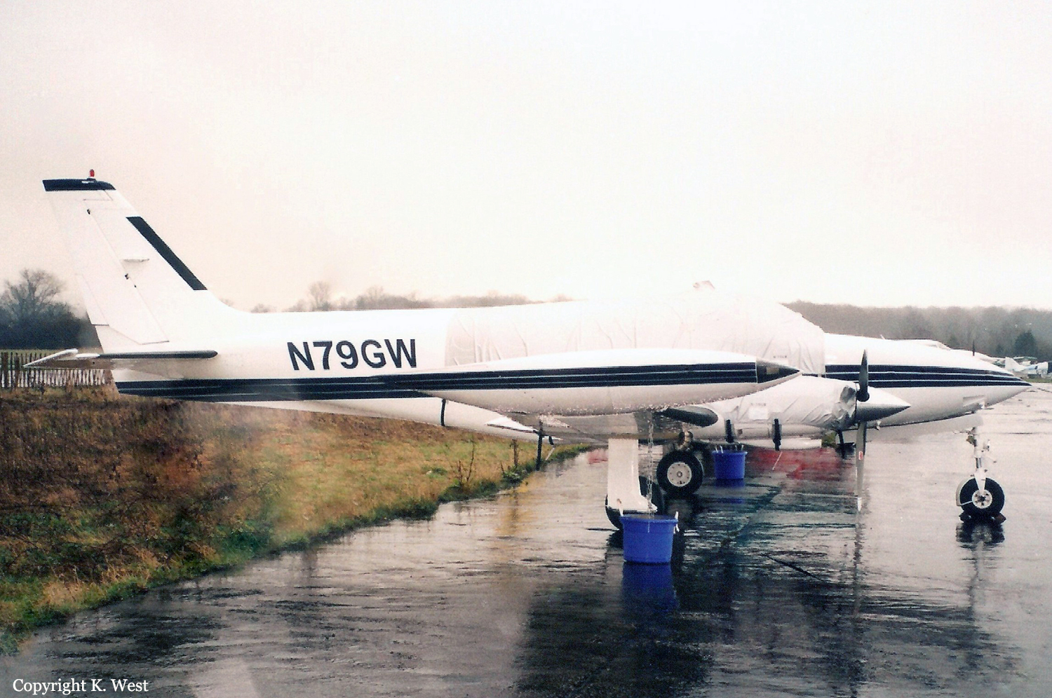
Crash of a Cessna 340A in Cairns

Date & Time: Mar 9, 2002 at 1729 LT
Type of aircraft:
Registration:
N79GW
Flight Type:
Survivors:
Yes
Schedule:
Bankstown – Cairns
MSN:
340A-0680
YOM:
1979
Country:
Region:
Crew on board:
1
Crew fatalities:
Pax on board:
3
Pax fatalities:
Other fatalities:
Total fatalities:
0
Circumstances:
The pilot of a Cessna 340 departed Bankstown, NSW at 1223 ESuT, for Townsville, Qld via Walgett, St George, Roma, Emerald and Clermont. He reported that he climbed the aircraft to 16,000 ft and adopted a long range power setting of about 49% which equated to a true air speed (TAS) of 168 kts and a fuel burn of 141 lbs per hour. As the pilot approached the ‘OLDER’ waypoint north of Clermont, he reviewed his fuel situation and, because of a strong tailwind decided to continue on to Cairns. He informed an enroute controller of his decision and requested, for fuel planning purposes, a clearance to allow him to track in the opposite direction on a one-way air route. The controller was unable to approve his request but offered the pilot a direct track to Biboohra, a navigation aid 20 NM west of Cairns. The pilot accepted the amended track with the intention of later requesting a more direct route to Cairns. About 15 minutes later, the pilot requested a more direct track, but was told to call the approach controller for a possible clearance. He contacted the approach controller and told the controller that he had minimum fuel. The controller asked the pilot if he was declaring an emergency, to which he replied affirmative. The pilot later commented that he did this in the hope of expediting his arrival. He was instructed to descend to 6,500 ft and track direct to Cairns. The controller asked the pilot if he preferred to join the runway 15 circuit via a left downwind or right downwind, to which the pilot requested to join a left downwind. The pilot later commented that the aircraft fuel flow gauges were indicating a total flow of 140 lbs per hour and the fuel quantity gauges for the selected main tanks, although wandering somewhat, were ‘displaying a healthy amount’ considering that he was about 12 NM from his destination. As the pilot approached 6,500 ft, he requested a clearance for further descent, to which the controller instructed the pilot to descend to 4,000 ft. As the aircraft descended to 4,000 ft, the pilot saw Cairns City, but could not see the runway at Cairns airport. The aircraft's distance measuring equipment (DME) indicated 9 NM to the DME navigation aid at Cairns Airport. The pilot reported that at about this time, he observed one of the fuel flow gauges indicating zero, while at the same time, one or both engines began to surge and run roughly. He immediately informed the controller of the situation. The controller asked the pilot if he was familiar with a local airstrip (Greenhill which is 10 NM to the southeast of Cairns airport), to which the pilot replied that he wasn't. The controller indicated to the pilot that the strip was situated in his two o'clock position at a range of about two miles and to be aware of power lines and the sugar cane. The pilot was unsure of what to look for and was unable to see the strip, but after conducting a number of steep turns, saw a cleared strip in a field. He decided that he had to land. He extended the landing gear, but realised that the aircraft was too high and attempted a 360-degree steep turn onto final to reposition the aircraft. However, the airspeed was rapidly decreasing and there was insufficient height to complete the approach. At 1729 EST, the aircraft impacted the ground short of the strip and slid for about 20 metres. The pilot was seriously injured and the passengers received minor injuries.
Probable cause:
The reason for the initial fuel flow fluctuations was not identified by the pilot. It is likely that the pilot assumed the zero reading indicated impending fuel exhaustion and concentrated on conducting a landing in unfamiliar terrain. During the landing approach the pilot lost control of the aircraft and it descended rapidly to the ground.
Final Report:

Crash of a Beechcraft C90 King Air in Toowoomba: 4 killed

Date & Time: Nov 27, 2001 at 0837 LT
Type of aircraft:
Operator:
Registration:
VH-LQH
Flight Phase:
Survivors:
No
Schedule:
Toowoomba – Goondiwindi
MSN:
LJ-644
YOM:
1975
Country:
Region:
Crew on board:
1
Crew fatalities:
Pax on board:
3
Pax fatalities:
Other fatalities:
Total fatalities:
4
Captain / Total flying hours:
3693
Captain / Total hours on type:
385.00
Aircraft flight hours:
6931
Circumstances:
On 25 June 2004, the Australian Transport Safety Bureau released its final investigation report into an accident which occurred on 27 November 2001 at Toowoomba aerodrome, Qld, involving a Beech Aircraft Corporation King Air C90 aircraft, registered VH-LQH, which experienced an engine failure shortly after takeoff. The aircraft was destroyed and all four occupants sustained fatal injuries.
Probable cause:
In light of a further review of the evidence, the ATSB has reconsidered its original finding that the initiating event of the engine failure of VH-LQH was a blade release in the compressor turbine and proposes that an alternative possibility could have been that the initiating event occurred in the power turbine. Notwithstanding this possibility, in either scenario, the remainder of the findings and safety recommendations contained in the original ATSB report are still relevant.
Final Report: