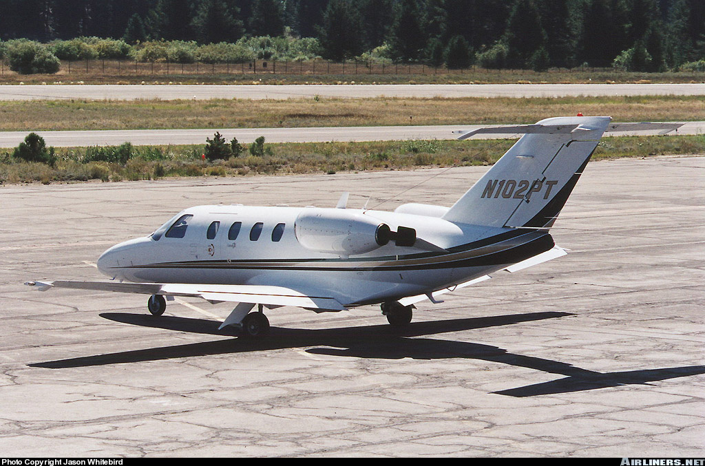
Crash of a Bombardier CL-600-2B16 Challenger 650 in Bangor: 6 killed
Date & Time:
Jan 25, 2026 at 1944 LT
Operator:

Registration:
N10KJ
Survivors:
No
Schedule:
Houston - Bangor - Châlons-Vatry
MSN:
6155
YOM:
2020
Crew on board:
3
Crew fatalities:
Pax on board:
3
Pax fatalities:
Other fatalities:
Total fatalities:
6
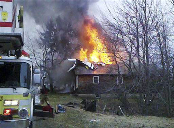
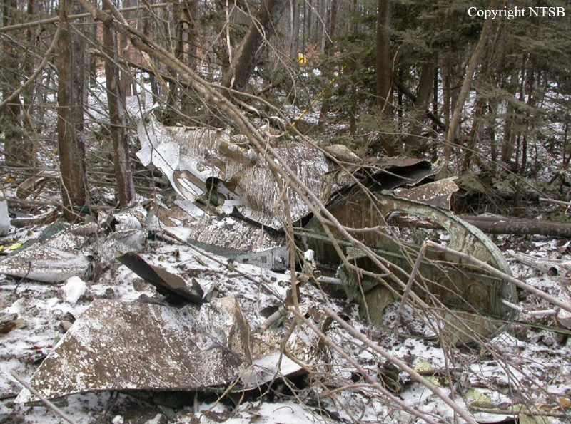
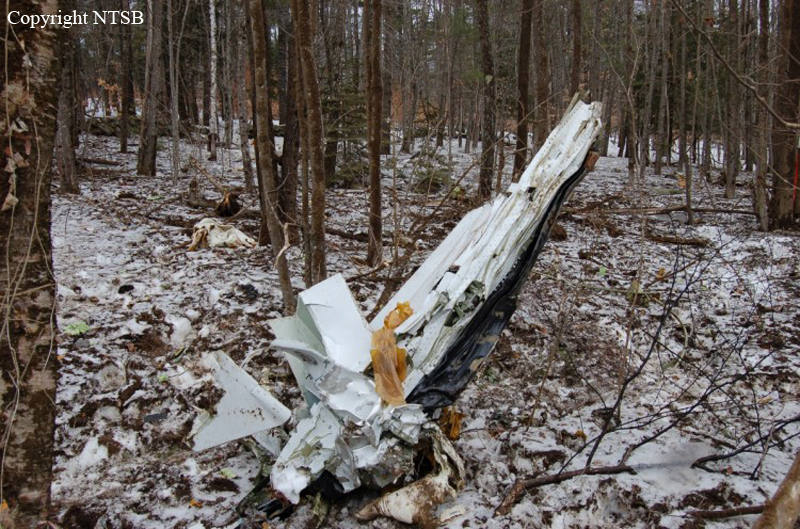
Circumstances:
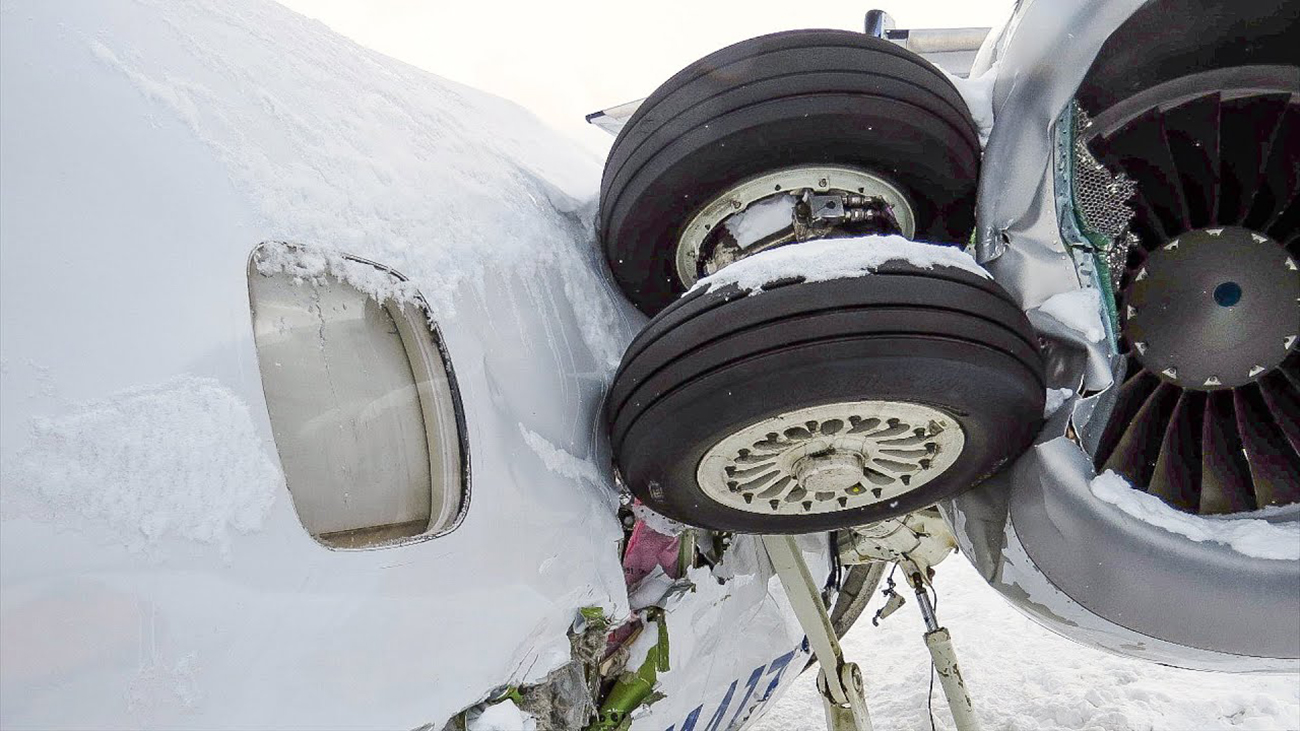
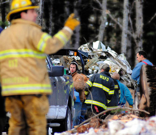
Following an uneventful flight from Houston, the airplane landed at Bangor Airport at 1809LT, first leg of an international flight to Châlons-Vatry. It remained parked on apron for about an hour then was taxied to the deicing pad where it remained from 1917LT to 1936LT. Following the deicing procedure, the crew taxied to runway 33 and was cleared for takeoff at 1944LT. After a course of about 1,700 metres and at a speed of 152 knots, the airplane was apparently on initial climb when control was lost. It rolled to the right, flipped over and crashed in a snow covered terrain, coming to rest upside down. The wreckage was partially consumed by a post crash fire. All six occupants were killed. At the time of the accident, weather conditions were poor with snow falls, limited visibility and an OAT of -17°. First Challenger 650 destroyed in an accident.
Crew:
Jacob Hosmer, pilot +2.
Passengers:
Tara Arnold,
Shawna Collins,
Nick Mastrascusa.
Crew:
Jacob Hosmer, pilot +2.
Passengers:
Tara Arnold,
Shawna Collins,
Nick Mastrascusa.