Crash of a Consolidated PB4Y-2 Privateer on Little Tanaga Island: 10 killed

Date & Time: Aug 31, 1951
Operator:
Registration:
66280
Flight Phase:
Survivors:
No
Site:
Schedule:
Adak - Adak
MSN:
6280
YOM:
1944
Crew on board:
10
Crew fatalities:
Pax on board:
0
Pax fatalities:
Other fatalities:
Total fatalities:
10
Circumstances:
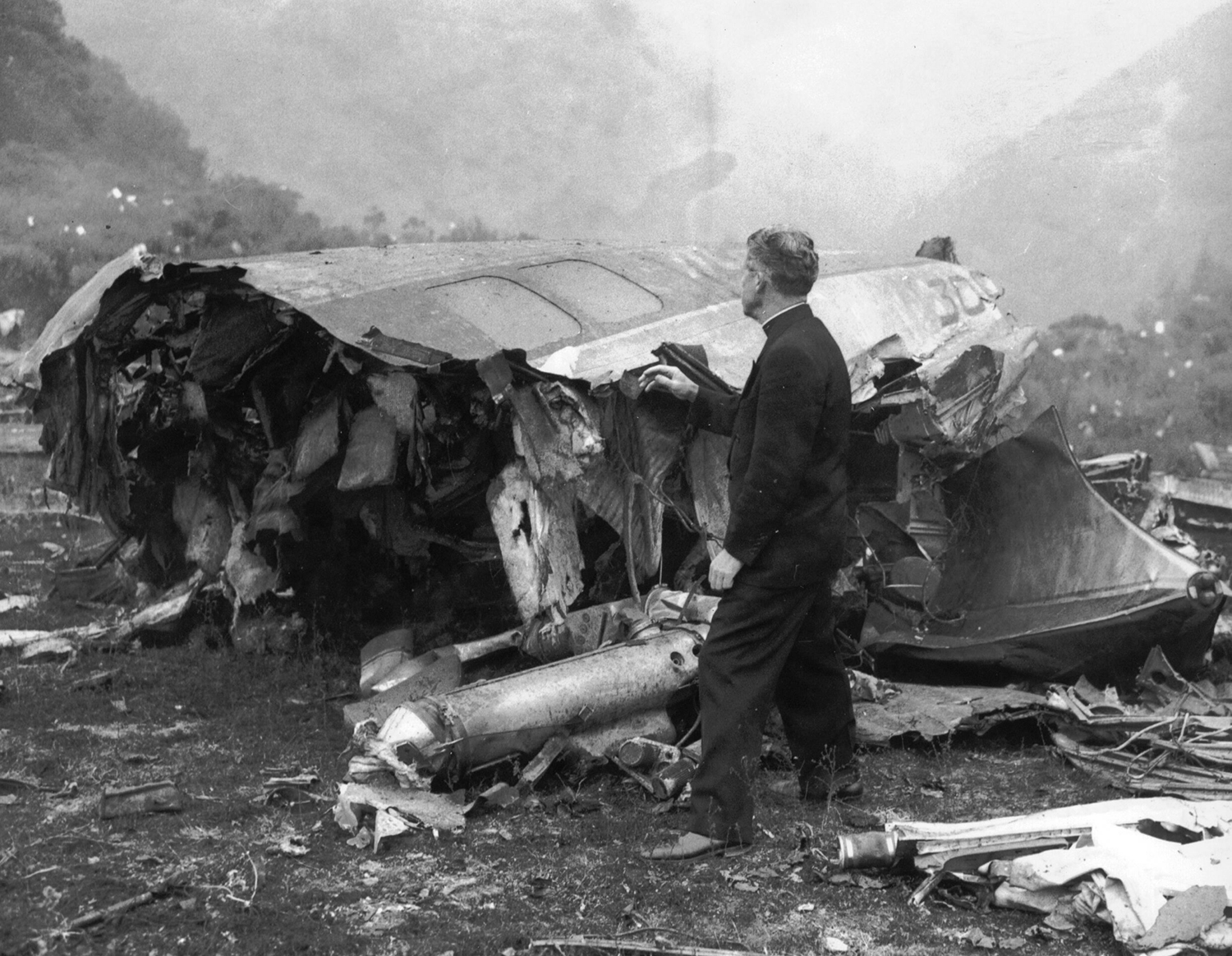
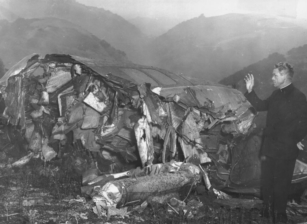
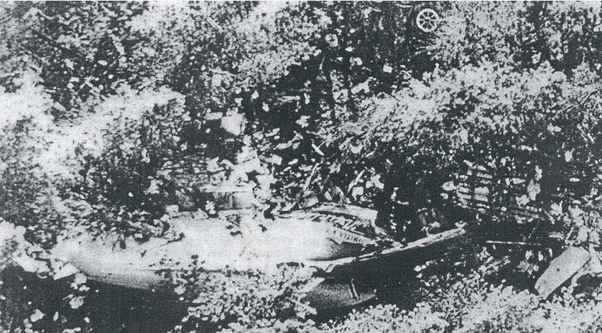
Few minutes after its takeoff from Adak Airport, en route for a maritime patrol flight, the airplane hit the slope of a mountain located on the Little Tanaga Island. The wreckage was found about 20 miles southeast of Adak Airport and all 10 crew members were killed.
Crew:
Berdel A. Cook,
William H. Diana Jr.,
Frank M. Sueley,
George Y. Jenkins,
James G. Mallard,
Frank W. Mullick,
Marvin P. Huber,
Anthony C. Molina,
Wilford E. Tacie,
Donald R. McNair.

Crash of a Douglas DC-6B near Union City: 50 killed

Date & Time: Aug 24, 1951 at 0428 LT
Type of aircraft:
Operator:
Registration:
N37550
Survivors:
No
Site:
Schedule:
Boston – Hartford – Cleveland – Chicago – Oakland – San Francisco
MSN:
43260
YOM:
1951
Flight number:
UA615
Crew on board:
6
Crew fatalities:
Pax on board:
44
Pax fatalities:
Other fatalities:
Total fatalities:
50
Captain / Total flying hours:
12032
Captain / Total hours on type:
417.00
Copilot / Total flying hours:
5842
Copilot / Total hours on type:
2848
Aircraft flight hours:
361
Circumstances:
Air Route Traffic Control (ARTC) cleared Flight 615 on an instrument flight plan from Chicago to Oakland, and from Oakland to San Francisco in accordance with Visual Flight Rules (VFB). Altitude was to be 18,000 feet man sea level (MSL) via Red Airway 4, Creen Airway 3, and Red Airway 6 from Chicago to Denver, direct to Milford, Utah, and thence direct to Oakland. Flight between Oakland and San Francisco was to have been via Green Airway 3 at 500 feet. Routine radio contacts were made en route. At 0354, August 24, while approaching the Oakland area, Flight 615 was cleared to the Newark, California fan marker, with instructions to descend to 6,000 feet, maintain that altitude, and contact Oakland Approach Control over Altamont, California. At 0411, the flight reported over Stockton, California, at 9,500 feet, descending. At this time the flight was given, and acknowledged, the Oakland altimeter setting of 29 88 inches. Flight 615 reported over the Altamont Intersection at 0416, and made initial contact with Oakland Approach Control one-half minute later. Clearance of the flight into Oakland was now vested in Approach Control, and no further radio contacts were made with company communications. The flight was cleared by Approach Control to the Oakland radio range station to maintain at least 500 feet above the tops of the clouds. The pilot followed this contact with a request for clearance direct to Newark and a straight-in range approach. The Newark fan marker and compass locator lie on the southeast leg of the Oakland radio range This request was granted, with instructions to maintain an altitude of 500 feet on top of the cloud layer between Altamont and Newark. At 0422, the flight reported approaching the Hayward, California, compass locator, which is between Newark and Altamont, and requested a second modification to clearance instructions by asking for a straight-in ILS (Instrument Landing System) approach 2. Approach Control advised it to stand by due to another aircraft in the area. Flight 615 shortly thereafter advised Approach Control that it was approaching Newark and to disregard the request for an ILS approach. At 0425 Flight 615 was cleared for a straight-in approach on the southeast course of the Oakland radio range from Newark. At 0427 the flight reported leaving Newark inbound to Oakland. This was the last radio contact. A minute later, the four engine aircraft struck the Tolman peak (985 feet high) located about 14,6 miles southeast of Oakland Airport. The aircraft was destroyed by impact forces and all 50 occupants were killed.
Probable cause:
The Board determines that the probable cause of this accident was the failure of the captain to adhere to instrument procedures in the Newark area during an approach to the Oakland Municipal Airport. The following findings were pointed out:
- The captain failed to follow the approved procedure for a straight-in range approach from Newark to Oakland by descending below the minimum altitudes for the Newark area,
- The flight had been cleared for a straight-in range approach, but neither receiver was tuned to the Oakland radio range station, as required,
- The aircraft struck a hill at an altitude of 983 feet MSL on a heading of about 296 degrees magnetic, and approximately three miles to the right of the southeast on-course signal of the Oakland radio range,
- Substantial power was being developed at the time of impact.
Final Report:

Crash of a Consolidated PB4Y-2 Privateer on Amak Island: 12 killed

Date & Time: Aug 12, 1951
Operator:
Registration:
66298
Flight Type:
Survivors:
No
Site:
Schedule:
Cold Bay - Cold Bay
MSN:
66298
YOM:
1944
Crew on board:
12
Crew fatalities:
Pax on board:
0
Pax fatalities:
Other fatalities:
Total fatalities:
12
Circumstances:
Following a training mission over the North Pacific Ocean, the crew was returning to Cold Bay Airport when on descent, the airplane hit the slope of a mountain located on the Amak Island, about 20 miles northwest of Cold Bay Airport. All 12 crew members were killed.
Crew:
Edwin Roy Park, pilot,
Robert Wilfred Conklon,
Henry Howard Wood,
Leonard Walter Sexton,
Elnord Ellis Flinkfelt,
Ronald Lee Hunt,
Brook Alton Williams,
Bobby Enloe,
Joseph Dale Whitherspoon,
Edwin Francis Busbi Jr.,
Charles Wyalis Elkins,
William Stuart Wagner.

Crash of a Douglas A-26C-55-DT Invader in Suwon AFB: 3 killed

Date & Time: Jul 29, 1951
Type of aircraft:
Operator:
Registration:
44-35985
Flight Type:
Survivors:
No
Site:
MSN:
29264
YOM:
1944
Country:
Region:
Crew on board:
3
Crew fatalities:
Pax on board:
0
Pax fatalities:
Other fatalities:
Total fatalities:
3
Circumstances:
During a single engine night approach to Suwon AFB, the aircraft hit a mountain and crashed few km short of runway. All three crew members were killed.
Crew:
1st Lt John R. Burtis,
2nd Lt Edward C. Cayemberg,
2nd Lt Philip Moscatelli.

Crash of a Consolidated PB4Y-2S Privateer on Atata Island: 9 killed

Date & Time: Jul 27, 1951
Operator:
Registration:
59992
Flight Phase:
Flight Type:
Survivors:
No
Site:
MSN:
59992
YOM:
1943
Country:
Region:
Crew on board:
9
Crew fatalities:
Pax on board:
0
Pax fatalities:
Other fatalities:
Total fatalities:
9
Circumstances:
Shortly after a night takeoff from Iwakuni Airbase, while climbing, the aircraft hit the top of a hill located on the Atata Island, about 6 km northeast of the airbase. All nine crew members were killed.

Crash of a Douglas C-47B-1-DL near Tezpur: 3 killed

Date & Time: Jul 12, 1951
Operator:
Registration:
VT-CHT
Flight Phase:
Flight Type:
Survivors:
No
Site:
Schedule:
Calcutta – Tezpur
MSN:
20662
YOM:
1944
Location:
Country:
Region:
Crew on board:
3
Crew fatalities:
Pax on board:
0
Pax fatalities:
Other fatalities:
Total fatalities:
3
Circumstances:
While approaching Tezpur on a cargo flight from Calcutta, the twin engine aircraft hit the slope of a mountain located 48 km northwest of its intended destination in poor weather conditions. All three crew members were killed.

Crash of a Douglas DC-6B near Fort Collins: 50 killed

Date & Time: Jun 30, 1951 at 0200 LT
Type of aircraft:
Operator:
Registration:
N37543
Flight Phase:
Survivors:
No
Site:
Schedule:
San Francisco – Oakland – Salt Lake City – Denver – Chicago
MSN:
43144
YOM:
1950
Flight number:
UA610
Crew on board:
5
Crew fatalities:
Pax on board:
45
Pax fatalities:
Other fatalities:
Total fatalities:
50
Captain / Total flying hours:
10565
Captain / Total hours on type:
106.00
Copilot / Total flying hours:
5848
Copilot / Total hours on type:
1526
Aircraft flight hours:
3784
Circumstances:
Flight 610 of June 29, 1951, originated in San Francisco, California, and was scheduled to Chicago, Illinois, with en route stops, among which were Oakland, California, Salt Lake City, Utah, and Denver, Colorado. The crew consisted of Captain J R Appleby, First Officer H G Tower, Flight Engineer A T Petrovitch, and Stewardesses C J Baymond and F M Smith. The flight departed San Francisco on schedule at 1915 and after stopping at Oakland proceeded to Salt Lake City, arriving there at 2324. It departed Salt Lake City at 0011, June 30, 1951, 26 minutes behind schedule due to the reloading of bulky cargo At the time of departure the aircraft weighed 78,597 pounds, which was within the certificated gross take-off weight of 79,380 pounds, the load was properly distributed with respect to the center of gravity. There were five crew members, forty-four adult passengers and one infant on board. The approved flight clearance indicated an IFR flight, via Bed Airway 49, Green Airway 3, and Amber Airway 3, to Denver at a cruising altitude of 15,000 feet, with Omaha, Nebraska, designated as the alternate airport. The flight proceeded in a routine manner and at 0104 reported over Rock Springs, Wyoming, at 15,000 feet, estimating its arrival over Cheyeme, Wyoming, at 0147 and over Denver at 0207 2 Forty-three minutes later, at 0147, the flight reported having passed the Silver Crown fan marker (located 12 miles west of Cheyenne) and requested a lower altitude Accordingly, a new clearance was immediately issued-"ARTC clears United 610 to Dupont intersection, 3 descend to 8500 feet immediately after passing Cheyenne, maintain 8500 feet, no delay expected, contact approach control over Dacono "4 This clearance was acknowledged and the flight reported that it was over Cheyenne at 0147, at 15,000 feet and was now starting to descend. The Denver altimeter setting was then given the flight as being 30 19 inches. Nine minutes later, at 0156, the flight reported reaching its assigned altitude of 8,500 feet No further communication was received from the flight. At 0200, the Denver Control Tower requested the company radio operator to advise the flight to call approach control Repeated calls were made without an answer. It was later determined that Flight 610 had crashed on a mountain (Mt Crystal) 18 miles west-southwest of Fort Collins, Colorado. All 50 occupants were killed.
Probable cause:
The Board determines that the probable cause of this accident was that, after passing Cheyenne, the flight for reasons undetermined failed to follow the prescribed route to Denver and continued beyond the boundary of the airway on a course which resulted in the aircraft striking mountainous terrain.
Final Report:

Crash of a Douglas A-26C-45-DT Invader in South Korea: 3 killed

Date & Time: Jun 29, 1951
Type of aircraft:
Operator:
Registration:
44-35749
Flight Phase:
Flight Type:
Survivors:
No
Site:
MSN:
29028
YOM:
1944
Country:
Region:
Crew on board:
3
Crew fatalities:
Pax on board:
0
Pax fatalities:
Other fatalities:
Total fatalities:
3
Circumstances:
Crashed in a mountainous region while on a strafing run. SAR operations were eventually suspended as no trace of the aircraft nor the crew was found.
Crew:
1st Lt Andrew J. Herbenick,
Cpt Guy F. Laney,
S/Sgt John Madsen Jr.

Crash of an AAC.1 Toucan on Mt Risnjak: 14 killed

Date & Time: Jun 29, 1951
Type of aircraft:
Operator:
Registration:
YU-ACE
Flight Phase:
Survivors:
No
Site:
Schedule:
Rijeka – Zagreb
MSN:
316
Country:
Region:
Crew on board:
3
Crew fatalities:
Pax on board:
11
Pax fatalities:
Other fatalities:
Total fatalities:
14
Circumstances:
Few minutes after takeoff from Rijeka Airport, while flying over the dinariques Alps, the crew encountered poor weather conditions with thunderstorm activity and turbulences. The three engine airplane went out of control, nosed into the ground and crashed at a speed of 200 km/h in a wooded area located on the slope of Mt Risnjak, about 27 km northeast of the Rijeka Airfield. The aircraft was destroyed upon impact and all 14 occupants were killed.
Crew:
Cpt Boža Miletić 2.
Probable cause:
Loss of control in stormy weather with heavy turbulences.

Crash of a Lockheed L-049 Constellation in Sanoyie: 40 killed

Date & Time: Jun 22, 1951 at 0325 LT
Operator:
Registration:
N88846
Survivors:
No
Site:
Schedule:
Johannesburg – Léopoldville – Accra – Monrovia – Lisbon – Horta – New York
MSN:
2046
YOM:
1946
Flight number:
PA151
Location:
Country:
Region:
Crew on board:
6
Crew fatalities:
Pax on board:
34
Pax fatalities:
Other fatalities:
Total fatalities:
40
Captain / Total flying hours:
7818
Captain / Total hours on type:
426.00
Copilot / Total flying hours:
5134
Copilot / Total hours on type:
2776
Aircraft flight hours:
13343
Circumstances:
Pan American's Flight 151 departed Johannesburg at 0812, June 21, and after a routine flight and scheduled stop at Léopoldville, Belgian Congo, arrived at Accra, Gold Coast, at 2125. Following a mechanical delay which required the changing of several spark plugs and a set of magneto points, the flight was dispatched and cleared to Roberts Field, Monrovia, on an instrument flight plan at 16,500 feet with Dakar, French West Africa, and Accra as alternates Take-off from Accra was at 2352Z. The gross weight at departure was 89,255 pounds, including cargo, mail, 3,340 gallons of fuel, 31 passengers, and a crew of nine. The gross weight of the aircraft and distribution of the disposable load were within the allowable limits. The en route communication system of the flight sector between Accra and Roberts Field is high frequency radio-telephone utilizing ground stations at Accra and Roberts Field as primary guarding stations Normal communication with these two stations was maintained as Flight 151 progressed westward after departing Accra. The flight proceeded in a routine manner, climbing to 16,500 feet MSL in accordance with the flight plan. At 0057 a position report was given over Abidjan, 258 miles west of Accra, and arrival over Cape Palmas, Liberia, 265 miles farther to the west, was estimated as 0156. At 0156 Flight 151 reported over Cape Palmas at 16,500 feet MSL, on instruments, and estimated arrival at Roberts Field as 0246. (A plantation employee in the Cape Palmas area stated that he beard an airplane inland and very high at approximately 0220, that the moon was bright and the sky was clear at the time. Since no other aircraft was known to have been in the area, this is presumed to have been Flight 151). At 0220 Flight 151 requested clearance to descend. Roberts Field radio cleared the flight to descend to 3,000 feet and advised that at 0225 the Roberts Field tower would establish contact on VHF A clear two-way contact was made at 0225 on 118.1 mcs, at which time the tower gave the flight the local weather and altimeter set-ting, cleared it to descend IFR over Roberts Range Station, and indicated that Runway 05 was in use. At 0237 Flight 151 was again given local weather for Roberts Field cloud base estimated 1,000 feet, broken, light drizzle and haze, visibility 3 miles. At 0241 the local wind was given as W-WNW variable 7 miles per hour All of these messages were acknowledged. At 0255, nine minutes after its ETA at Roberts, Flight 151 was heard calling Roberts Field on VHF 118.1 mcs. The tower responded, repeating the call three times. There was no indication that the aircraft heard the tower, whereupon the tower switched to 3270 kcs and requested the flight to give its current position. There was no reply to this call. Immediately following failure of the aircraft to respond to Roberts tower on 3270 kcs, the Roberts Field high frequency radio-telephone facility established contact advising the flight that they were unable to read it on 118.1 mcs and that the flight should reply to the tower's call on 3270 kcs. This message was acknowledged at 0301. At 0305 the flight again contacted Roberts tower on 3270 kcs advising that the Dakar radio beacon was interfering with the Roberts Field radio beacon and that they would "be back in 15 minutes" Roberts tower advised Flight 151 that Dakar would be requested to turn off the beacon and this message was acknowledged (Because of incoming traffic to Dakar, the beacon there was not turned off until 0410) At 0315 Flight 151 again called Roberts tower on 3270 kcs and the latter transmitted the latest weather. The flight did not acknowledge this transmission on 3270 kcs but called Roberts tower on 118.1 mcs Roberts tower then replied on 118 1 mcs but received no acknowledgement. Thereafter, the tower repeatedly called Flight 151 on both 118.1 mcs and 3270 kcs, requesting the aircraft's position and broadcasting the weather However, the incomplete contact at 0315 was the last transmission received from the flight. The wreckage was found a day later near the village of Sanoyie, about 91 km northeast of Monrovia-Roberts Airport. The aircraft was destroyed by impact forces and a post crash fire and all 40 occupants have been killed.
Probable cause:
The Board determines that the probable cause of this accident was the action of the captain in descending helm his en route minimum altitude without positive identification of the flight's position. The following finding was pointed out: the aircraft never overheaded the Roberts Field range station and a let-down was made without positive determination of the flight's position.
Final Report: