Crash of a Cessna 208B Grand Caravan off Nabire
Date & Time:
Jan 27, 2026 at 1257 LT
Operator:

Registration:
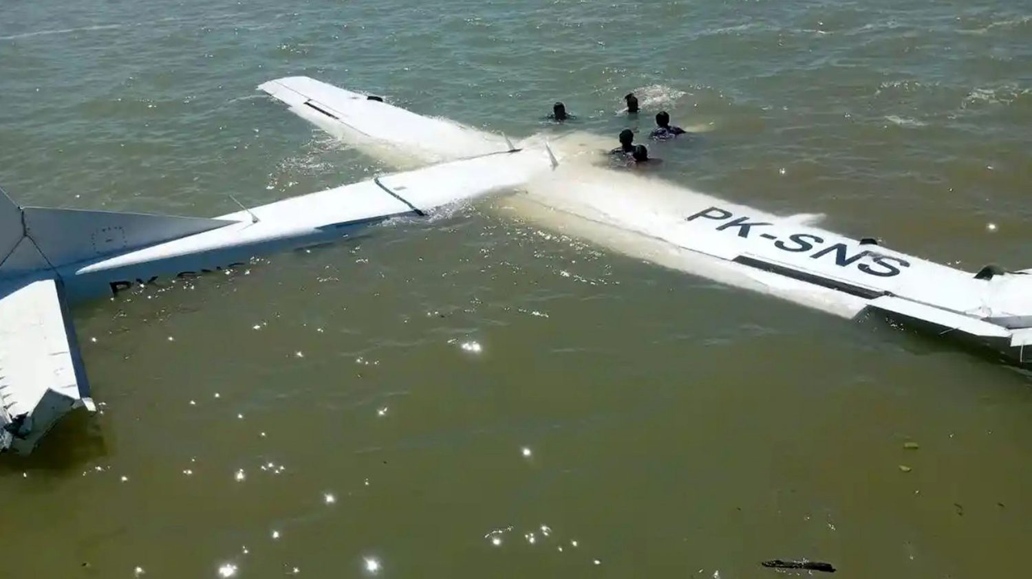
PK-SNS
Survivors:
Yes
Schedule:
Nabire - Kaimana
MSN:
208B-2341
YOM:
2012
Crew on board:
2
Crew fatalities:
Pax on board:
11
Pax fatalities:
Other fatalities:
Total fatalities:
0
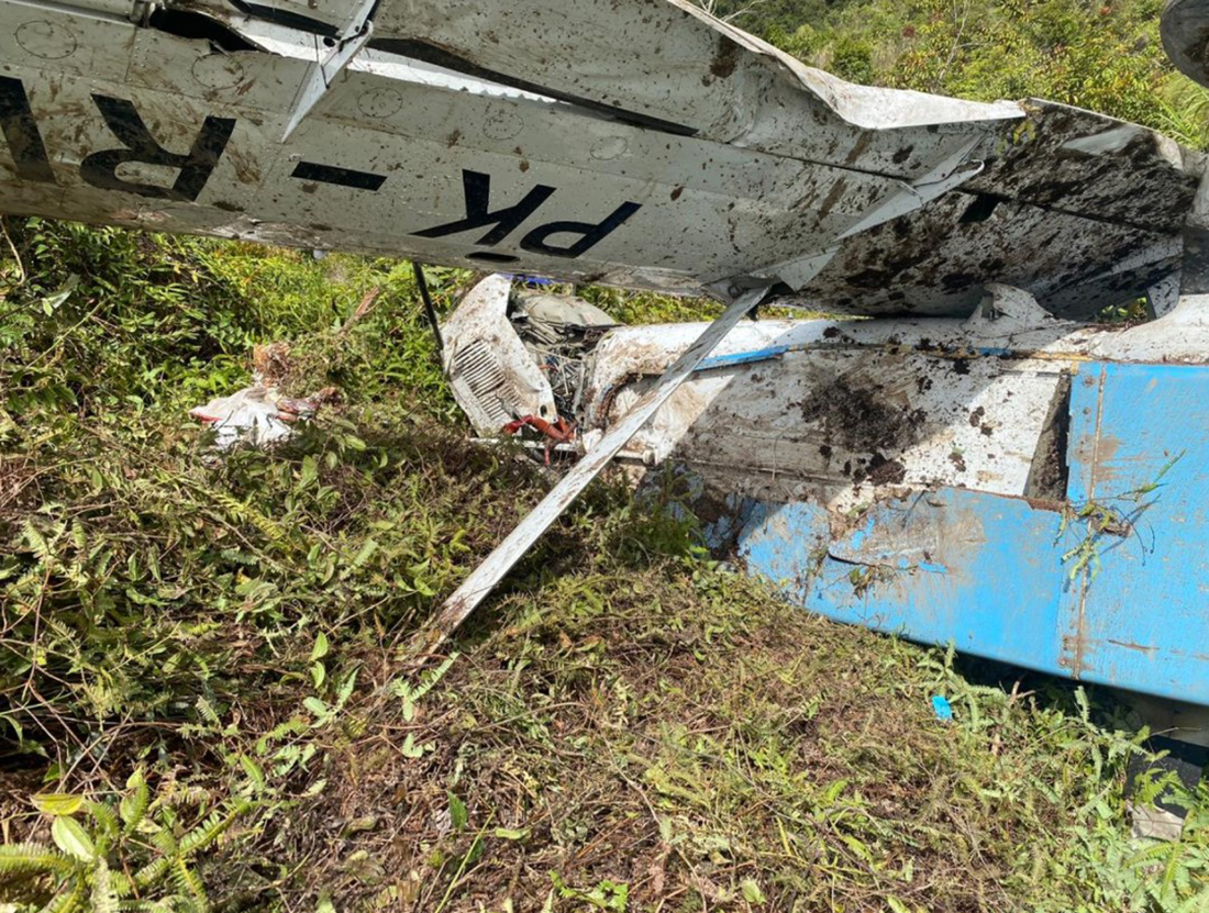
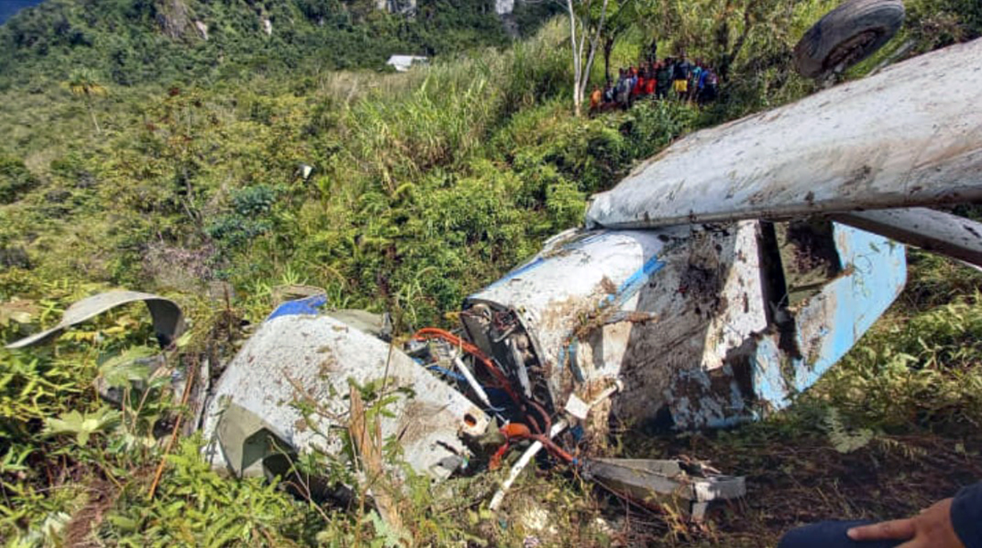
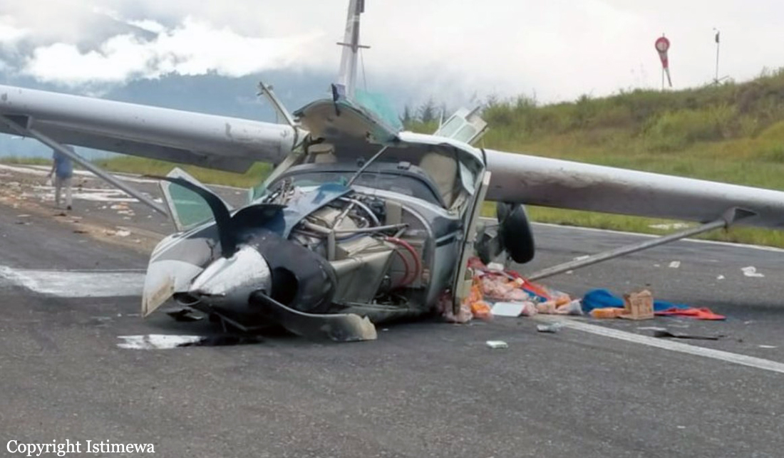
Circumstances:
The single engine airplane departed Nabire Airport at 1254LT on a schedule service to Kaimana, carrying 11 passengers and two pilots. Two minutes after takeoff, while climbing, the crew informed ATC about a loss of engine power and was cleared for an immediate return and landing on runway 17. Unable to do so, the pilot attempted an emergency landing and ditched the airplane into the sea, few hundred metres northwest of the airfield. All 13 occupants were rescued.