Crash of a Douglas C-53 near Sayari: 19 killed

Date & Time: Mar 18, 1957
Operator:
Registration:
CP-535
Flight Phase:
Survivors:
No
Site:
Schedule:
Cochabamba – Oruro
MSN:
4867
YOM:
1942
Country:
Crew on board:
3
Crew fatalities:
Pax on board:
16
Pax fatalities:
Other fatalities:
Total fatalities:
19
Circumstances:
Struck a mountain located near Sayari, killing all 19 occupants.

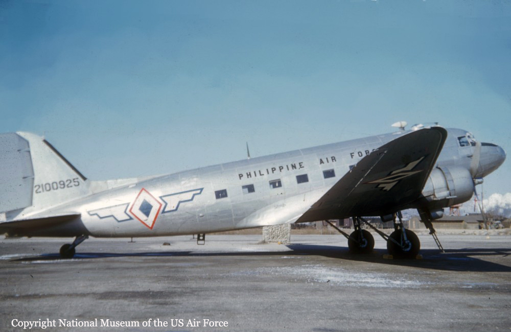
Crash of a Douglas C-47A-75-DL near Cebu City: 25 killed

Date & Time: Mar 17, 1957 at 0140 LT
Operator:
Registration:
2100925
Flight Phase:
Flight Type:
Survivors:
Yes
Site:
Schedule:
Cebu City – Manila
MSN:
19388
YOM:
1944
Location:
Country:
Region:
Crew on board:
5
Crew fatalities:
Pax on board:
21
Pax fatalities:
Other fatalities:
Total fatalities:
25
Circumstances:
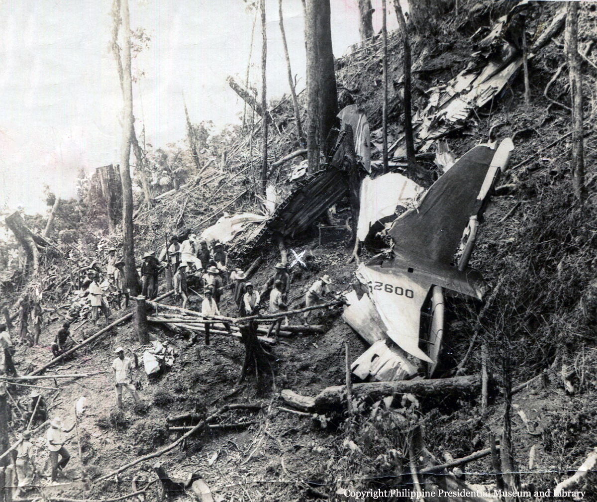
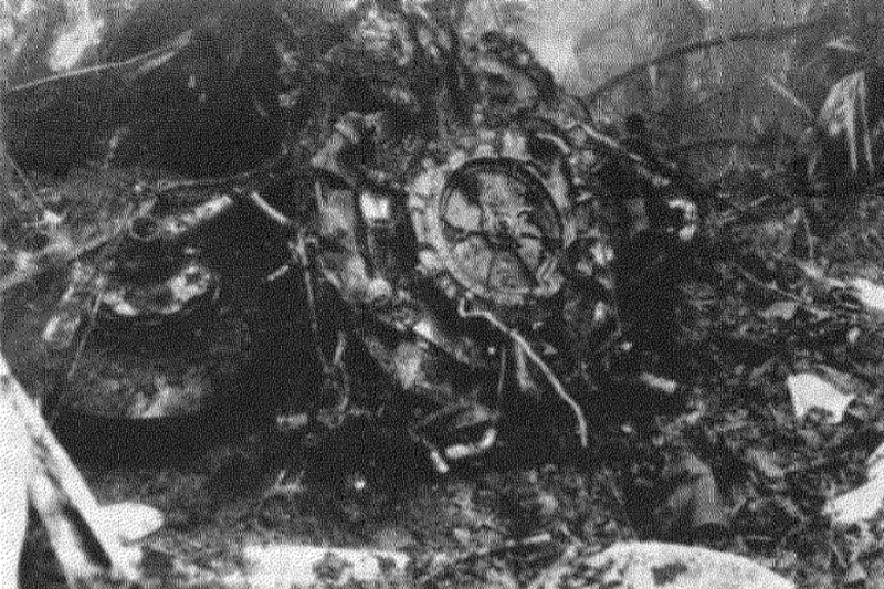
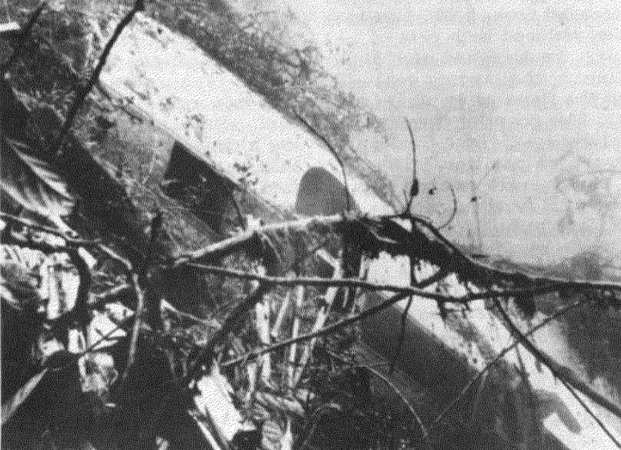
Christened 'Mount Pinatubo', the airplane departed Cebu City past 0130LT bound for the capital city, carrying journalist, members of the government and Ramon Magsaysay, President of the Republic of The Philippines. While climbing by night, the right engine lost power then failed. The crew was unable to maintain a safe altitude when the airplane struck the slope of Mt Manunggal located about 35 km northwest of the Airport. Rescuers arrived on the scene in the early morning and a passenger, a journalist of the 'Philippine Herald' was seriously injured and evacuated while 25 other occupants were killed.
Probable cause:
The accident was the consequence of the failure of the spindle drive shaft on the carburetor that snapped during climb, causing the right engine to fail.

Crash of a Consolidated PBY-5A Catalina near Natagaima: 12 killed

Date & Time: Mar 13, 1957
Type of aircraft:
Operator:
Registration:
FAC-620
Flight Phase:
Flight Type:
Survivors:
No
Site:
Schedule:
Bogotá – Tres Esquinas
Country:
Crew on board:
4
Crew fatalities:
Pax on board:
8
Pax fatalities:
Other fatalities:
Total fatalities:
12
Circumstances:
Struck a mountain near Natagaima, Tolima, while on a flight from Bogotá to Tres Esquinas. As the airplane failed to arrive at destination, SAR operations were conducted. The wreckage was found eleven days later, on March 24. All 12 occupants were killed.

Crash of a Douglas VC-47A near Hakuba: 4 killed

Date & Time: Mar 12, 1957 at 1200 LT
Operator:
Registration:
43-47979
Flight Phase:
Flight Type:
Survivors:
No
Site:
Schedule:
Tokyo – Hamamatsu
MSN:
13795/25240
YOM:
1944
Location:
Country:
Region:
Crew on board:
4
Crew fatalities:
Pax on board:
0
Pax fatalities:
Other fatalities:
Total fatalities:
4
Circumstances:
Struck a mountain located near Hakuba while performing a flight from Tokyo-Haneda to Hamamatsu. All four crew members were killed.

Crash of a Douglas C-47-DL near Tuluá: 15 killed

Date & Time: Mar 9, 1957 at 1000 LT
Operator:
Registration:
HK-155
Flight Phase:
Survivors:
No
Site:
Schedule:
Condoto – Buenaventura – Cali
MSN:
4338
YOM:
1942
Country:
Crew on board:
3
Crew fatalities:
Pax on board:
12
Pax fatalities:
Other fatalities:
Total fatalities:
15
Circumstances:
HK-155 departed Cali for Condoto at 0827LT. It reported taking-off from Condoto on the return flight at 0950LT and advised that it would fly via Buenaventura. Shortly after take-off, HK-155 changed from Condoto Tower frequency to the Cali aeronautical telecommunications frequency and reported at 0958 that it had departed Condoto at 0950 with a load of 975 kg including 12 passengers and that it was proceeding to Cali via Buenaventura. No record could be found of a later call from the aircraft on any of the frequencies available. The flight from Condoto to Cali would normally take about 50 to 55 minutes. At 1037, Cali called HK-155 but received no reply. The Cali route frequencies log indicates at 1107 that Bogota: ATC had declared an alert with regard to HK-155. The wreckage was found on the slope of a wooded mountain located 32 km west of Tuluá. All 15 occupants were killed.
Probable cause:
It was determined that the probable cause of the accident was an instrument flight at inadequate altitude. The following factors were considered as contributing:
- The Buenaventura route was not followed,
- Instrument flight which precluded visual means of checking the aircraft's position,
- The pilot did not consider it necessary to check his position by means of El Paso radio beacon,
- Over-confidence on the part of the pilot regarding his knowledge of the route,
- Flight outside the established route or airway
- Unfavorable weather conditions.
As the aircraft crashed on the direct route Condoto - Cali and the said route had not been authorized by the Civil Aeronautics Department, it can be logically assumed that the pilot is solely responsible for this accident since he flew, on instruments, a route which had not been authorized, even for visual flights.
Final Report:

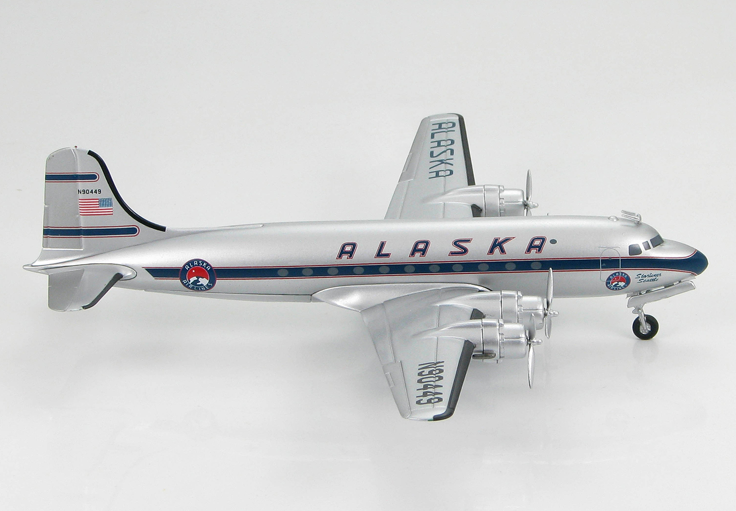
Crash of a Douglas C-54B-20-DO Skymaster near Blyn: 5 killed

Date & Time: Mar 2, 1957 at 1719 LT
Type of aircraft:
Operator:
Registration:
N90449
Flight Phase:
Survivors:
No
Site:
Schedule:
Fairbanks – Seattle
MSN:
27239
YOM:
1944
Flight number:
AS100
Location:
Crew on board:
3
Crew fatalities:
Pax on board:
2
Pax fatalities:
Other fatalities:
Total fatalities:
5
Captain / Total flying hours:
12033
Captain / Total hours on type:
8023.00
Copilot / Total flying hours:
10791
Copilot / Total hours on type:
4532
Aircraft flight hours:
28835
Circumstances:
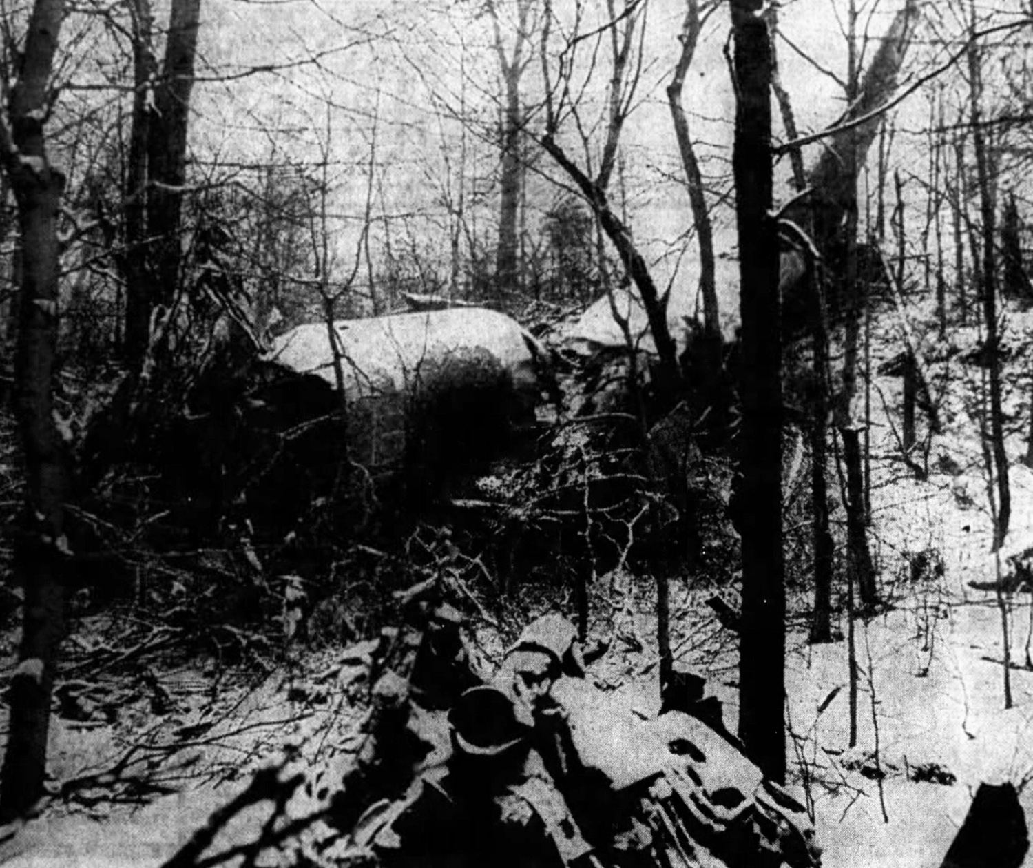
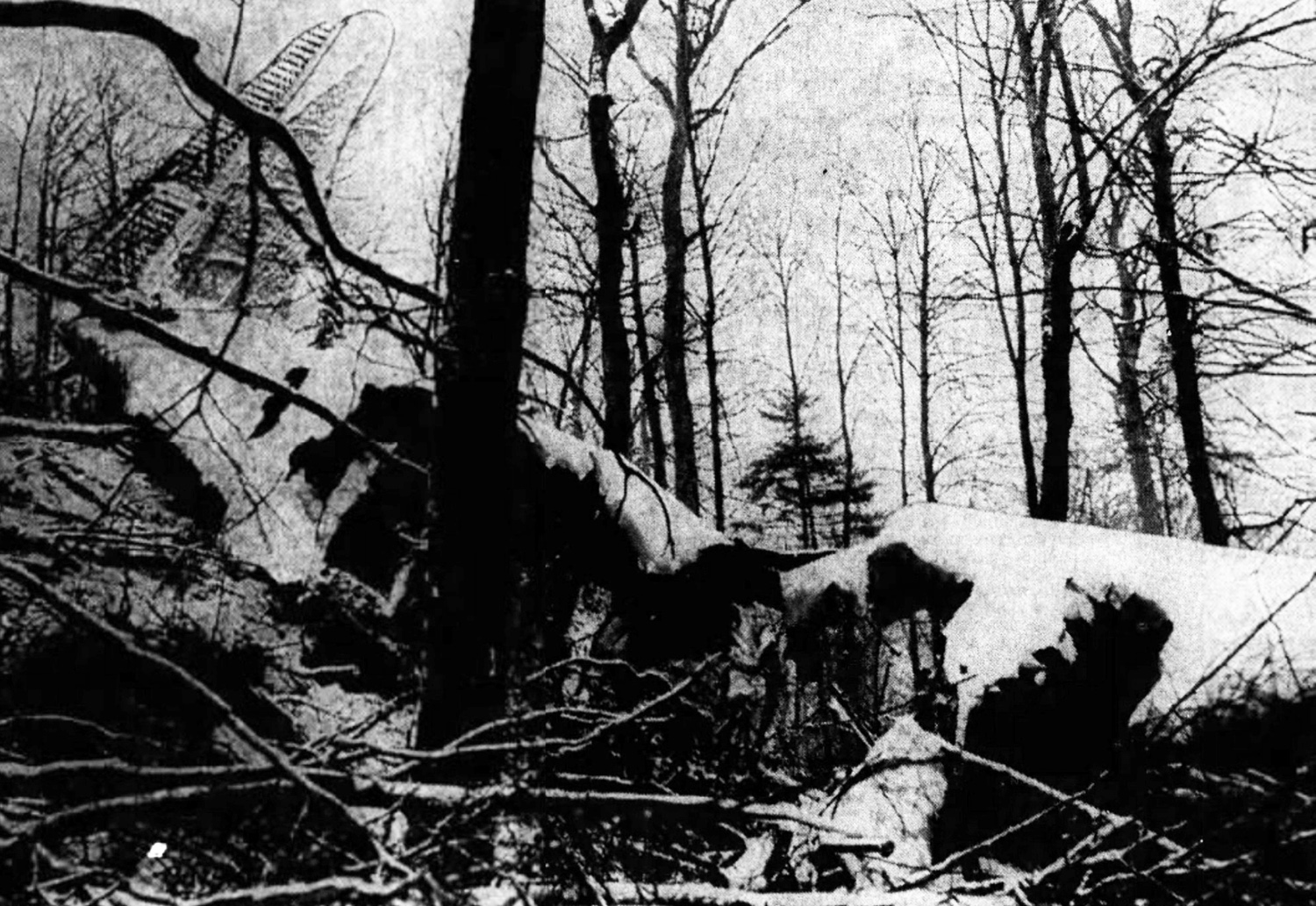
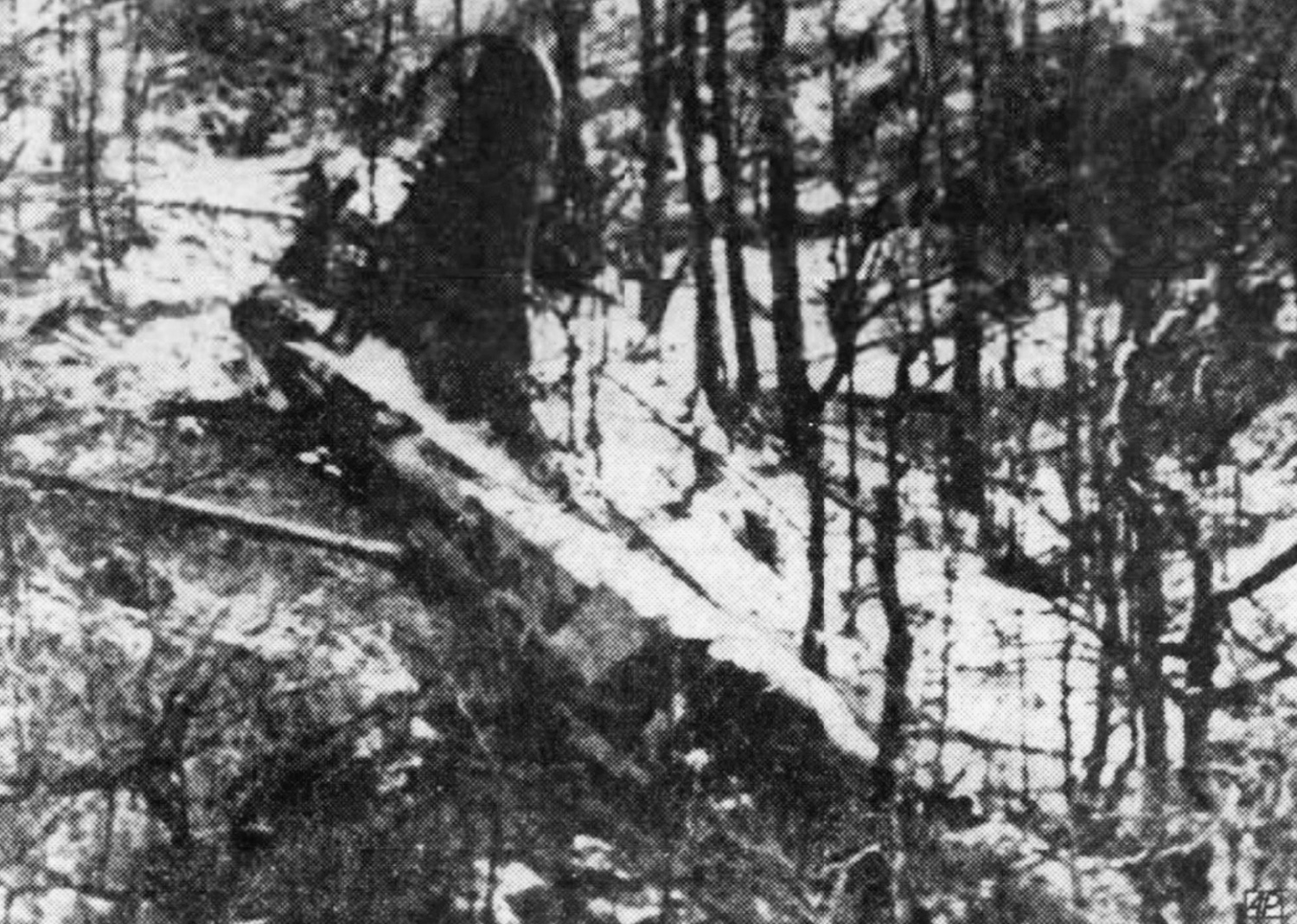
Alaska Airlines, Inc., is an air carrier certificated to conduct scheduled operations within the Territory of Alaska and between Alaska and the continental United States. Flight 100 of March 2 originated at Fairbanks, Alaska, as a regularly scheduled nonstop flight to Seattle, Washington. The aircraft, N 90449, had arrived from Seattle at 0717 March 2 as Trip 101/1. Two minor discrepancies reported by the inbound crew were corrected during a turnaround inspection and by 0930 that morning the aircraft was ready for the return flight to Seattle. The crew assigned to Flight 100, Captain Lawrence F. Currie, Copilot Lyle O. Edwards, and Stewardess Elizabeth Goods, arrived at operations and made the normal routine preparations for the flight. The pilots discussed the flight with the station agent and all necessary flight papers were completed. Weather for the route was given to the pilots. The weight and balance were determined and both were well within allowable limits. The aircraft was serviced with 2,380 gallons of fuel. The following IFR flight plan was filed with Fairbanks ARTC (Air Route Traffic Control): Alaska 100, a DC-4, departing 10,000 feet Amber 2 Snag, 12,000 Blue 79 Haines, 10,000 Blue 79 Annette, 9,500 direct Port Hardy, 10,000 Amber 1 Seattle; airspeed 185; estimating 7 hours, 44 minutes en route; proposing 0955. At 0940 the two passengers and crew boarded the aircraft. Takeoff was made in VFR weather conditions at 0958. Shortly thereafter Fairbanks center called N 90449 and relayed the ATC clearance, approving the flight plan as filed. The weather conditions at Fairbanks and en route were forecast to be generally good and the flight proceeded in the clear as planned, making routine position reports as it progressed. At 1240, when over Haines, Alaska, at 12,000 feet, Flight 100 canceled its instrument flight plan and informed ARTC that they would proceed VFR to Annette and would file DVFR 2 (Defense Visual Flight Rule) after Annette and before entering the CADIZ (Canadian Air Defense Identification Zone). Thereafter the flight proceeded, reporting its position as DVFR at 1,000 feet. The flight was observed at Patricia Bay, British Columbia, at an estimated 3,000 feet m. s. l. by a tower operator. It was also observed leaving the CADIZ. At 1717 the Alaska Airlines Seattle dispatch office received the following position report by radio from Flight 100: "Dungeness at 16 VFR estimating Seattle at 34." This was the last contact with the flight, which crashed shortly thereafter. All five occupants were killed. N 90449 crashed in heavily timbered mountainous terrain March 2 and was not located until March 3, 1957. The crash occurred approximately in the center of the "on course" zone of the northwest leg of the Seattle low frequency radio range, about 11 nautical miles southeast of the Dungeness fan marker. This leg of the Seattle range defines the center of Amber Airway 1 between the Dungeness intersection and the range station. The minimum instrument en route altitude for this segment is 5,000 feet. Because of adverse weather and inaccessibility of the location, CAB investigators were unable to reach the scene until March 6. The investigators noted that the wreckage had been disturbed prior to their arrival; some components were missing, presumably carried away by persons unknown. The path of the aircraft during the final seconds of flight was clearly defined in the heavy timber growing on the steep slope against the aircraft smashed. The aircraft’s first contact with the trees was at a point 650 feet from the wreckage. From this point it cut a level swath on a heading of 106 degrees magnetic, the width of its wing span, into the steeply rising wooded slope at an elevation of approximately 1,500 feet m. s. l. The terrain immediately ahead of the aircraft‘s path rose to an altitude of 2,000. 2,100 feet MSL.
Probable cause:
The Board determines that the probable cause of this accident was a navigational error and poor judgment exhibited by the pilot in entering an overcast in a mountainous area at a dangerously low altitude. The following findings were reported:
- No malfunction or emergency existed and the aircraft was intact prior to its initial contact with the mountain,
- Several errors and omissions in the course of the flight Indicate the crew was lax and not giving proper attention to their duties,
- A navigational error resulted in the aircraft being three to four miles west of the flight path assumed by the crew,
- The pilot flew into instrument weather without obtaining a proper clearance,
- The aircraft crashed in terrain obscured by clouds.
Final Report:

Crash of a Douglas R4D-5 on Mt Concepción: 16 killed

Date & Time: Jan 23, 1957 at 1118 LT
Type of aircraft:
Operator:
Registration:
AN-AEC
Flight Phase:
Survivors:
No
Site:
Schedule:
Managua – Bluefields – San Carlos – Managua
MSN:
12312
YOM:
1944
Country:
Crew on board:
3
Crew fatalities:
Pax on board:
13
Pax fatalities:
Other fatalities:
Total fatalities:
16
Circumstances:
The aircraft was on a flight from Managua to Bluefields and San Carlos and then returning to Managua. It departed San Carlos for Managua at 1049LT carrying a crew of 3 and 13 passengers. This information was given directly by the captain over the aircraft's transmitters, as the radio station for point-to- point communication is in the town, some distance from the landing field. The aircraft made no further contact. It crashed into the side of Concepción Volcano at 1118LT at a height of 2,650 feet killing all occupants. The aircraft crashed while performing a sharp ascending left curve at an altitude of 2,650 feet (according to the reading of the operating altimeter found at the accident site) and on a magnetic heading of 1700, i. e. 127° off its original course of 297°, and 350 feet below its cruising level, reported by the pilot as 3 000 feet. Witnesses stated that the weather was clear and fog covered only the top of the volcano, from 3 200 feet to its summit. A number of persons saw the aircraft flying on its normal heading to Managua shortly before the accident. Had the weather been unfavorable the pilot could very well have taken the usual action of flying at an altitude above all obstructions on the route and would have reported such action.
Probable cause:
According to eyewitnesses, the aircraft made a left turn, i. e. towards the volcano, and there were indications of abnormal conditions when it banked sharply in descent then in rapid climb; this shows that some trouble arose in the operation of the controls, propellers or engines, which unexpectedly caused loss of control. It was impossible to ascertain the cause of this malfunctioning, owing to the condition of total destruction of the aircraft after impact and fire.
Final Report:

Crash of a Boeing KC-97G Stratotanker on Mt Big Shanty: 7 killed

Date & Time: Jan 22, 1957 at 1930 LT
Type of aircraft:
Operator:
Registration:
53-0222
Flight Phase:
Flight Type:
Survivors:
No
Site:
Schedule:
Westover - Griffiss
MSN:
17004
YOM:
1953
Flight number:
Crony 14
Crew on board:
7
Crew fatalities:
Pax on board:
0
Pax fatalities:
Other fatalities:
Total fatalities:
7
Circumstances:
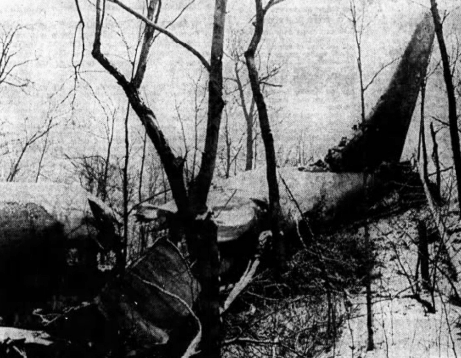
The airplane was on a refueling mission and departed Westover AFB at 1330LT bound for Griffiss AFB, Rome, New York. Following an uneventful mission, the crew started the descent to Griffiss AFB but was instructed to follow a holding pattern because a fighter that was short of fuel must land immediately. Twenty-five minutes later, while cruising in poor weather conditions (freezing rain and snow), the airplane struck the snowy Mt Big Shanty (701 meters high) located about 70 miles northeast of Griffiss AFB, in the Adirondack Mountain Range. Rescuers arrived on scene in the early morning of January 24. All seven crew members have been killed, among them Maj Charles D. Mellinger, pilot, and 1st Lt Fred Defrench, copilot.

Crash of a Douglas C-47B-1-DK near Núria: 9 killed

Date & Time: Jan 22, 1957
Operator:
Registration:
14655/F-RAVM
Flight Phase:
Flight Type:
Survivors:
No
Site:
Schedule:
Algiers – Toulouse
MSN:
14655/26100
YOM:
1944
Country:
Region:
Crew on board:
2
Crew fatalities:
Pax on board:
7
Pax fatalities:
Other fatalities:
Total fatalities:
9
Circumstances:
The crew was returning to his base in Toulouse following a training mission in Algiers on behalf of the Centre d’Instruction des Équipages de Transport de l’Armée de l’Air (CIET). While cruising over the Pyrénées Mountains at an altitude of 8'900 feet, the crew informed ATC they encountered poor weather conditions with reduced visibility due to fog. Shortly later, the aircraft hit the north slope of the Coma de Vaka Peak located southeast of Núria, near the French border. All nine occupants were killed in the crash.

Crash of a Boeing KB-29P Superfortress near Talkeetna: 8 killed

Date & Time: Dec 26, 1956
Type of aircraft:
Operator:
Registration:
44-84149
Flight Phase:
Flight Type:
Survivors:
No
Site:
Schedule:
Elmendorf – Eielson
Crew on board:
8
Crew fatalities:
Pax on board:
0
Pax fatalities:
Other fatalities:
Total fatalities:
8
Circumstances:
Nineteen minutes after his departure from Elmendorf AFB, while cruising at an altitude of 4,200 feet, the crew contacted ATC when the airplane struck Mt Bald located about 11 miles east of Talkeetna. As the airplane was fully loaded with fuel, a huge explosion occurred on impact. The aircraft was destroyed and all eight crew members were killed.
Crew (508th Air Refueling Squadron):
1st Lt Thomas H. Patton, pilot,
2nd Lt James D. Dellinger, copilot,
1st Lt Lionel E. Reid, navigator,
1st Lt Luther G. Lamm,
M/Sgt Otto D. McAdams,
T/Sgt Thurman C. Rainer,
S/Sgt John B. Pyland,
A2c William P. Hodgson.