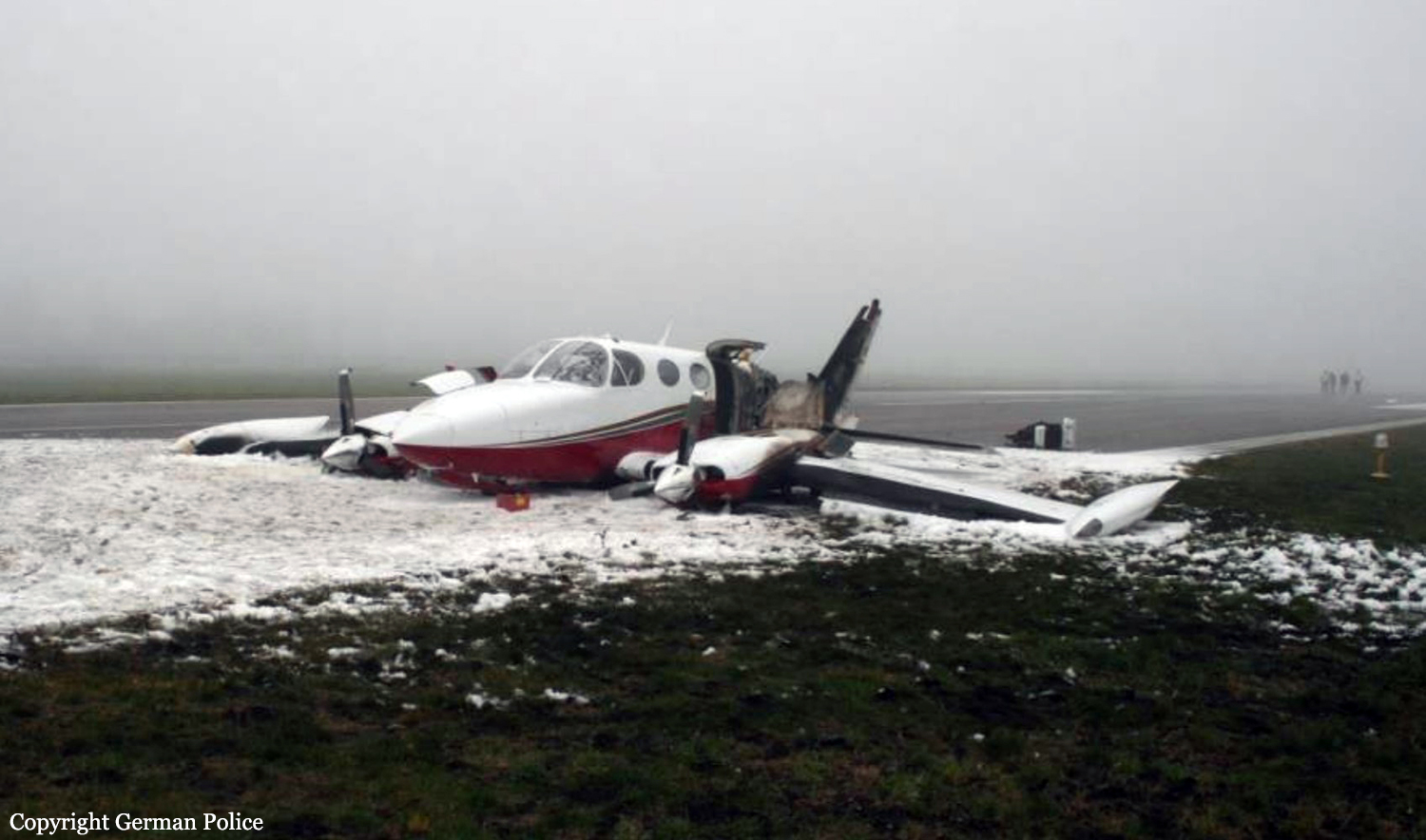
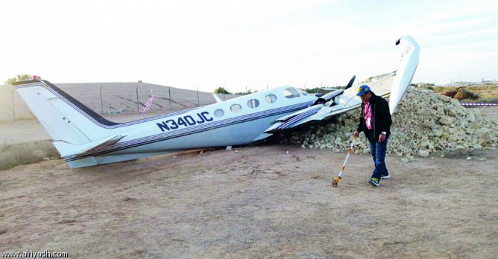
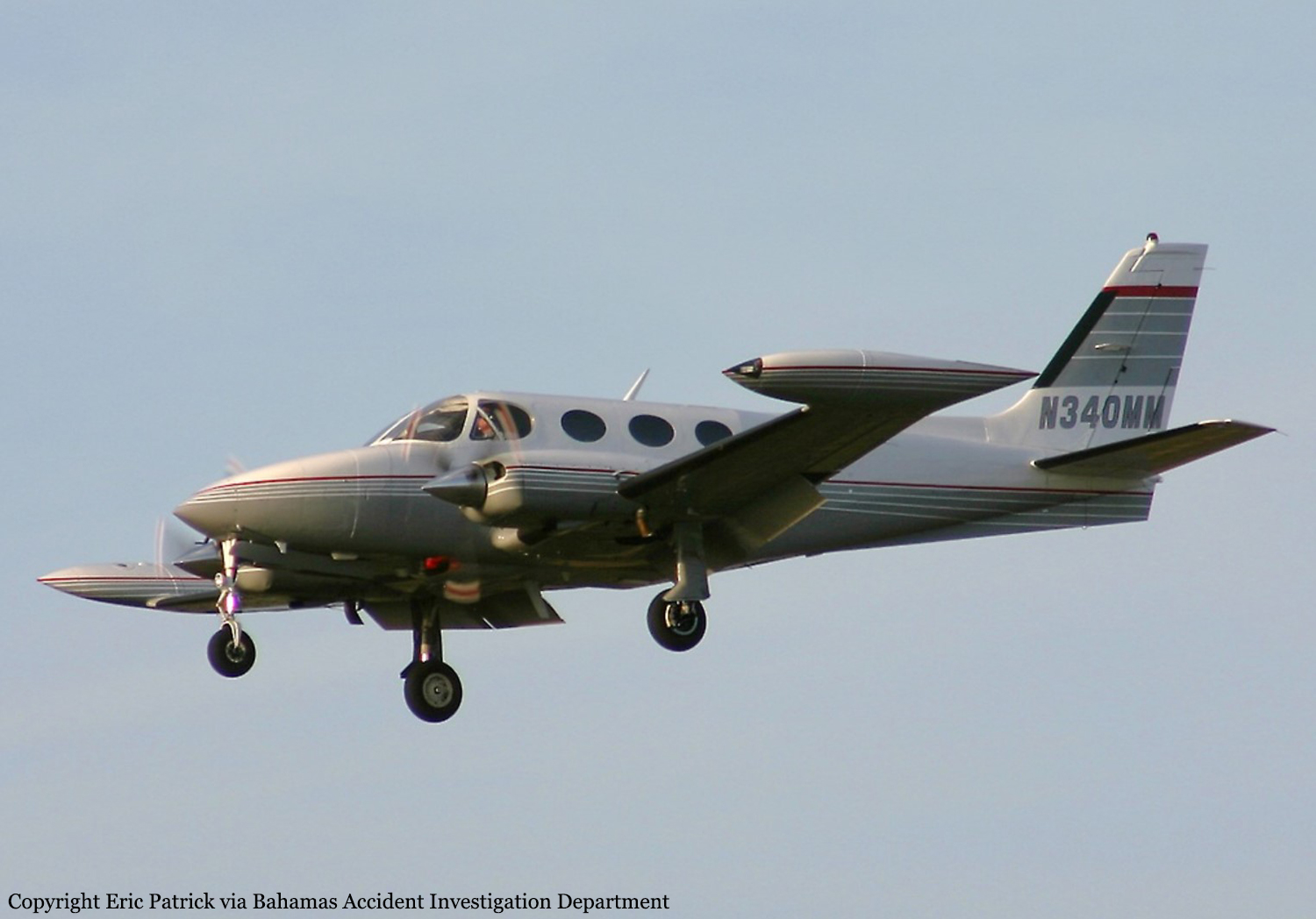
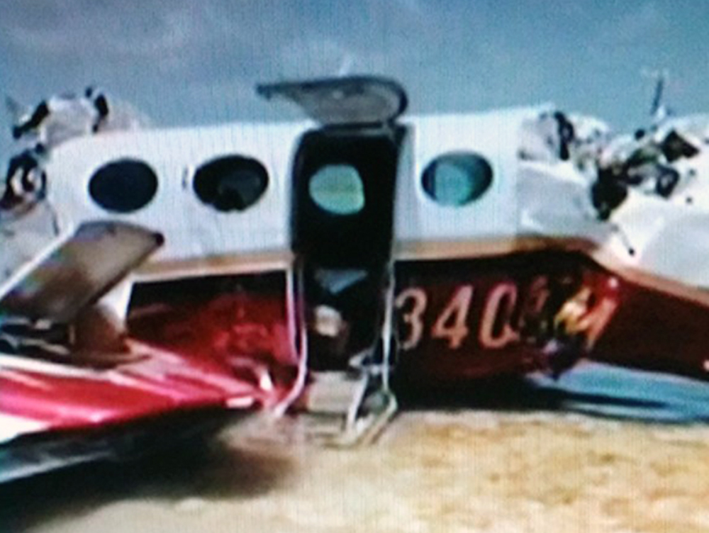
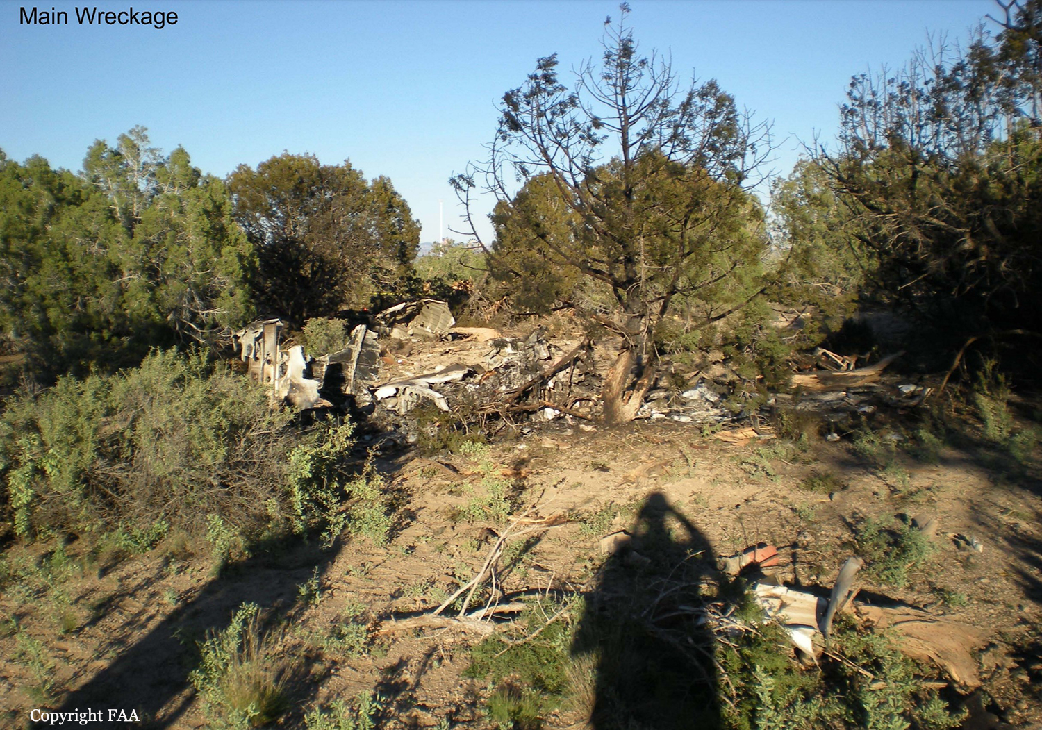
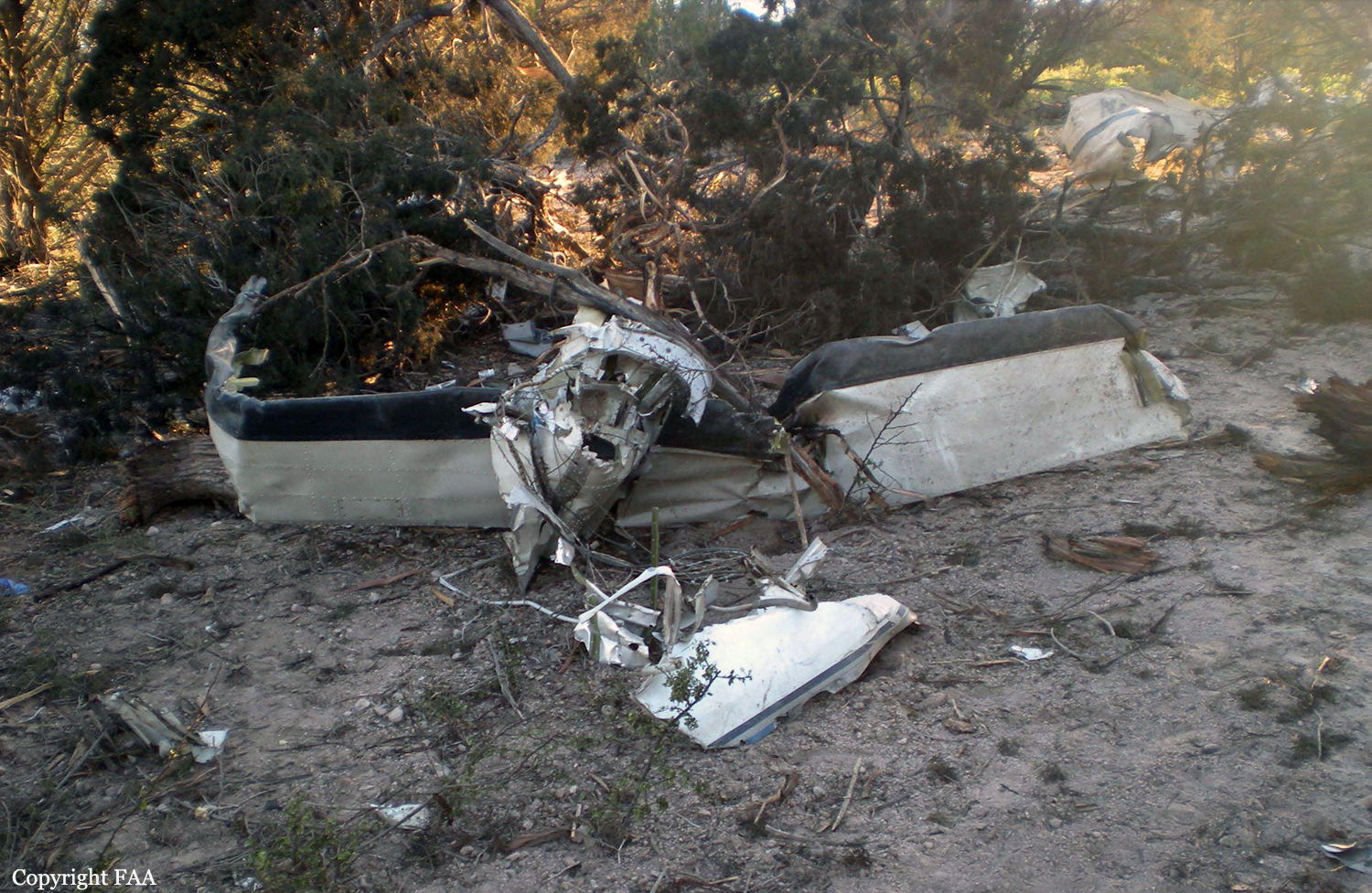
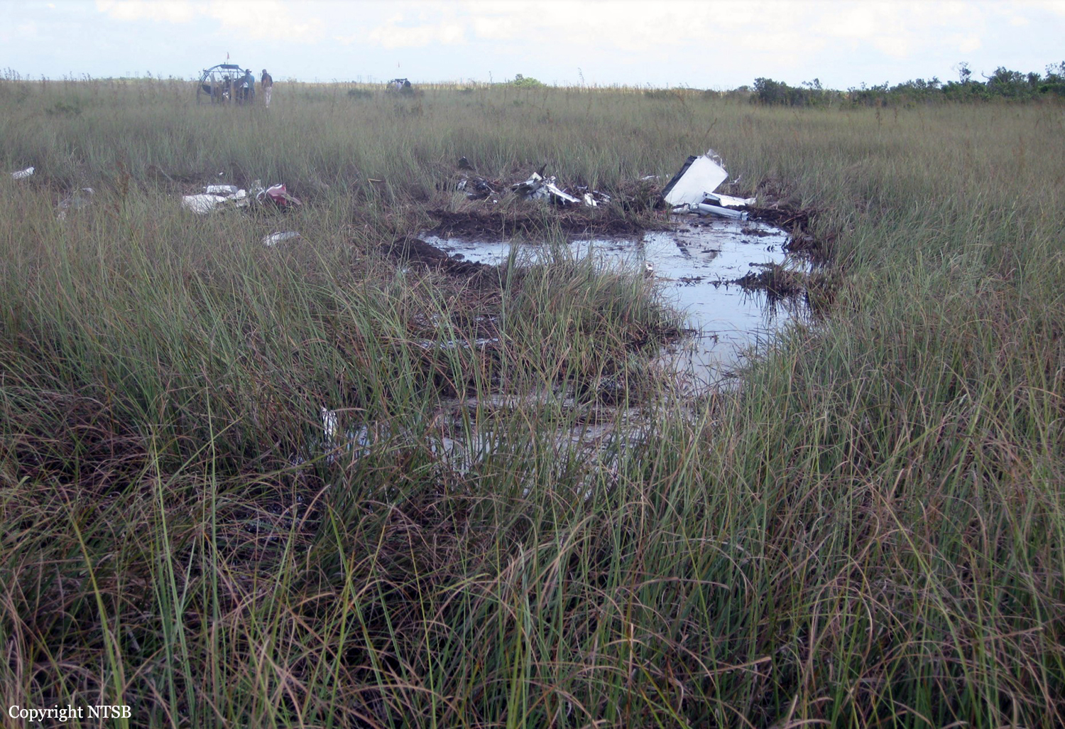
Crash of a Cessna 340A in Augsburg

Date & Time: Dec 8, 2015 at 0942 LT
Type of aircraft:
Operator:
Registration:
D-IBEL
Flight Type:
Survivors:
Yes
Schedule:
Mönchengladbach – Augsburg
MSN:
340A-1814
YOM:
1984
Country:
Region:
Crew on board:
1
Crew fatalities:
Pax on board:
4
Pax fatalities:
Other fatalities:
Total fatalities:
0
Captain / Total flying hours:
5188
Captain / Total hours on type:
75.00
Aircraft flight hours:
3747
Circumstances:
The twin engine aircraft departed Mönchengladbach on a flight to Augsbourg, carrying four passengers and one pilot. On descent to Augsburg Airport, the pilot was informed by ATC that weather conditions at destination were worse than predicted, that the visibility was estimated between 225 and 250 metres, thus below minimums. The pilot acknowledged and informed ATC about his intention to attempt an approach and that he would divert to Oberpfaffenhofen if necessary. On short final, at a height of 200 feet, the pilot established a visual contact with the runway lights and decided to continue. After passing over the threshold, he reduced the engine power when the aircraft entered a stall and impacted the runway surface. On impact, the undercarriage were torn off and the aircraft slid for 104 metres before coming to rest, bursting into flames. Four occupants were seriously injured and the fifth was slightly injured. The aircraft was partially destroyed by a post crash fire.
Probable cause:
The accident is the consequence of the pilot's decision to continue the approach and not to initiate a go-around procedure, which resulted in the aircraft entering an attitude he was unable to control. Poor approach planning on part of the pilot and poor decision making during the approach contributed to the accident, as well as the fact that the runway visual range (RVR) was 250 metres, which was below minimums.
Final Report:

Crash of a Cessna 340 in Riyadh

Date & Time: Dec 3, 2014 at 1757 LT
Type of aircraft:
Registration:
N340JC
Flight Type:
Survivors:
Yes
Schedule:
Heraklion – Hurghada – Riyadh
MSN:
340-0162
YOM:
1972
Country:
Region:
Crew on board:
2
Crew fatalities:
Pax on board:
0
Pax fatalities:
Other fatalities:
Total fatalities:
0
Circumstances:
The crew was completing a ferry flight from Heraklion to Riyadh with an intermediate stop in Hurghada, Egypt. On final approach to Riyadh-King Khaled Airport, at an altitude of about 600 feet, the left engine lost power and failed, followed 10 seconds later by the right engine. The crew reported his situation to ATC when the aircraft lost height, impacted ground and slid for few dozen metres before coming to rest against a pile of rocks. One of the pilot suffered a broken wrist while the second pilot escaped uninjured. The aircraft was damaged beyond repair.
Probable cause:
Double engine failure on approach due to fuel exhaustion. It was determined that the crew miscalculated the fuel consumption for the flight from Hurghada to Riyadh.

Crash of a Cessna 340A off Freeport: 4 killed

Date & Time: Aug 18, 2014 at 1002 LT
Type of aircraft:
Registration:
N340MM
Flight Type:
Survivors:
No
Schedule:
Ormond Beach - Freeport
MSN:
340A-0635
YOM:
1978
Country:
Crew on board:
1
Crew fatalities:
Pax on board:
3
Pax fatalities:
Other fatalities:
Total fatalities:
4
Aircraft flight hours:
5572
Circumstances:
On 18 August, 2014 at 10:02am local time (1402Z) UTC a fixed wing, twin-engine, Cessna 3 4 0 A aircraft, United States registration N340MM, serial number 340A0635, crashed into waters while on a left base to runway 06 at Grand Bahama International Airport (MYGF) Freeport, Grand Bahama, Bahamas. The aircraft departed Ormond Beach Municipal Airport (KOMN) at 8:51am local time (1251Z) for Grand Bahama International Airport (MYGF) on an Instrument Flight Rules (IFR) flight plan with the pilot and three passengers aboard. Sometime after 9:00am (1300Z) an IFR inbound flight plan on N340MM was received by Freeport Approach Control from Miami Center. Upon initial contact with Freeport Approach Control the pilot was given weather advisory, re-cleared to Freeport VOR and told to maintain four thousand feet and report at JAKEL intersection. He was also advised to expect an RNAV runway six approach. After the pilot’s acknowledgement of the information he later acknowledged his position crossing JAKEL. Freeport Approach then instructed the aircraft to descend to two thousand feet and cleared him direct to JENIB intersection for the RNAV runway six (6) approach. After descending to two thousand feet the pilot indicated to Freeport Approach that he had the field in sight and was able to make a visual approach. Freeport Approach re-cleared the aircraft for a visual approach and instructed the pilot to contact Freeport Control Tower on frequency 118.5. At 9:57am (1357Z) N340MM established contact with Freeport Tower and was cleared for the visual approach to runway six; he was told to join the left base and report at five (5) DME. At 10:01am (1401Z) the pilot reported being out of fuel and his intention was to dead stick the aircraft into the airport from seven miles out at an altitude of one thousand five hundred feet. A minute later the pilot radioed ATC to indicate they “were going down and expected to be in the water about five miles north of the airport.” Freeport Tower tried to get confirmation of the last transmission but was unable to. Several more calls went out from Freeport Tower to N340MM but communication was never reestablished. Freeport Control Tower then made request of aircrafts departing and arriving to assist in locating the lost aircraft by over flying the vicinity of the last reported position to see if visual contact could be made. An inbound aircraft reported seeing an aircraft down five miles from the airport on the 300 degree radial of the ZFP VOR. Calls were made to all the relevant agencies and search and rescue initiated. The aircraft was located at GPS coordinates 26˚ 35.708’N and 078˚ 47. 431 W. The aircraft received substantial damage as a result of the impact and crash sequence. There were no survivors.
Probable cause:
The probable cause of this accident has been determined as a lack of situational awareness resulting in a stalled condition and loss of control while attempting to remedy a fuel exhaustion condition at a very low altitude.
Contributing factors:
- The pilot’s incorrect fuel calculations which resulted in fuel exhaustion to both engines.
- Stalled aircraft.
- Loss of situational awareness.
Final Report:

Crash of a Cessna 340A in Hampton Roads: 4 killed

Date & Time: Oct 10, 2013 at 1209 LT
Type of aircraft:
Operator:
Registration:
N4TK
Flight Type:
Survivors:
No
Schedule:
Fort Lauderdale – Hampton Roads
MSN:
340A-0777
YOM:
1979
Crew on board:
1
Crew fatalities:
Pax on board:
3
Pax fatalities:
Other fatalities:
Total fatalities:
4
Circumstances:
The instrument-rated pilot was on a cross-country flight. According to air traffic control records, an air traffic controller provided the pilot vectors to an intersection to fly a GPS approach. Federal Aviation Administration radar data showed that the airplane tracked off course of the assigned intersection by 6 nautical miles and descended 800 ft below its assigned altitude before correcting toward the initial approach fix. The airplane then crossed the final approach fix 400 ft below the minimum crossing altitude and then continued to descend to the minimum descent altitude, at which point, the pilot performed a missed approach. The missed approach procedure would have required the airplane to make a climbing right turn to 2,500 ft mean sea level (msl) while navigating southwest back to the intersection; however, radar data showed that the airplane flew southeast and ascended and descended several times before leveling off at 2,800 ft msl. The airplane then entered a right 360-degree turn and almost completed another circle before it descended into terrain. Examination of the wreckage revealed no evidence of any preimpact mechanical malfunctions or failures. During the altitude and heading deviations just before impact, the pilot reported to an air traffic controller that adverse weather was causing the airplane to lose "tremendous" amounts of altitude; however, weather radar did not indicate any convective activity or heavy rain at the airplane's location. The recorded weather at the destination airport about the time of the accident included a cloud ceiling of 400 ft above ground level and visibility of 3 miles. Although the pilot reported over 4,000 total hours on his most recent medical application, the investigation could not corroborate those reported hours or document any recent or overall actual instrument experience. In addition, it could not be determined whether the pilot had experience using the onboard GPS system, which had been installed on the airplane about 6 months before the accident; however, the accident flight track is indicative of the pilot not using the GPS effectively, possibly due to a lack of proficiency or familiarity with the equipment. The restricted visibility and precipitation and maneuvering during the missed approach would have been conducive to the development of spatial disorientation, and the variable flightpath off the intended course was consistent with the pilot losing airplane control due to spatial disorientation. Toxicological tests detected ethanol and other volatiles in the pilot's muscle indicative of postmortem production.
Probable cause:
The pilot's failure to maintain airplane control due to spatial disorientation in low-visibility conditions while maneuvering during a missed approach. Contributing to the accident was the pilot's ineffective use of the onboard GPS equipment.
Final Report:

Crash of a Cessna 340A in Paulden: 4 killed

Date & Time: Oct 4, 2013 at 1300 LT
Type of aircraft:
Registration:
N312GC
Flight Phase:
Flight Type:
Survivors:
No
Schedule:
Bullhead City – Prescott
MSN:
340A-0023
YOM:
1975
Location:
Crew on board:
1
Crew fatalities:
Pax on board:
3
Pax fatalities:
Other fatalities:
Total fatalities:
4
Captain / Total flying hours:
4006
Circumstances:
Witnesses located at a gun club reported observing the airplane make a high-speed, low pass from north to south over the club's buildings and then maneuver around for another low pass from east to west. During the second low pass, the airplane collided with a radio tower that was about 50 ft tall, and the right wing sheared off about 10 ft of the tower's top. The tower's base was triangular shaped, and each of its sides was about 2 ft long. One witness reported that the airplane remained in a straight-and-level attitude until impact with the tower. The airplane then rolled right to an almost inverted position and subsequently impacted trees and terrain about 700 ft southwest of the initial impact point. One witness reported that, about 3 to 4 years before the accident, the pilot, who was a client of the gun club, had "buzzed" over the club and had been told to never do so again. A postaccident examination of the engines and the airframe revealed no evidence of a mechanical malfunction or failure that would have precluded normal operation.
Probable cause:
The pilot's failure to maintain sufficient altitude to clear a radio tower while maneuvering at low altitude and his decision to make a high-speed, low pass over the gun club.
Final Report:

Crash of a Cessna 340A near Boynton Beach: 1 killed

Date & Time: Jun 8, 2013 at 1002 LT
Type of aircraft:
Registration:
N217JP
Flight Phase:
Flight Type:
Survivors:
No
Schedule:
Fort Lauderdale – Leesburg
MSN:
340A-0435
YOM:
1978
Crew on board:
1
Crew fatalities:
Pax on board:
0
Pax fatalities:
Other fatalities:
Total fatalities:
1
Captain / Total flying hours:
16561
Captain / Total hours on type:
56.00
Aircraft flight hours:
4209
Circumstances:
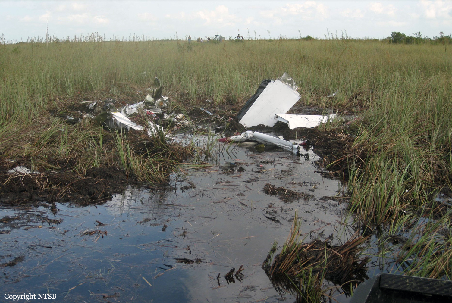
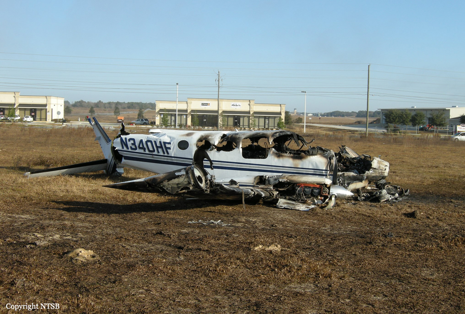
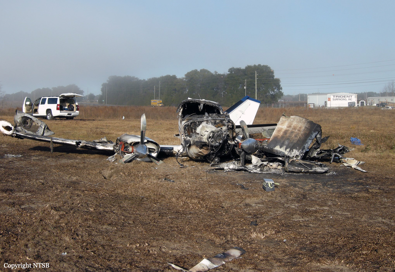
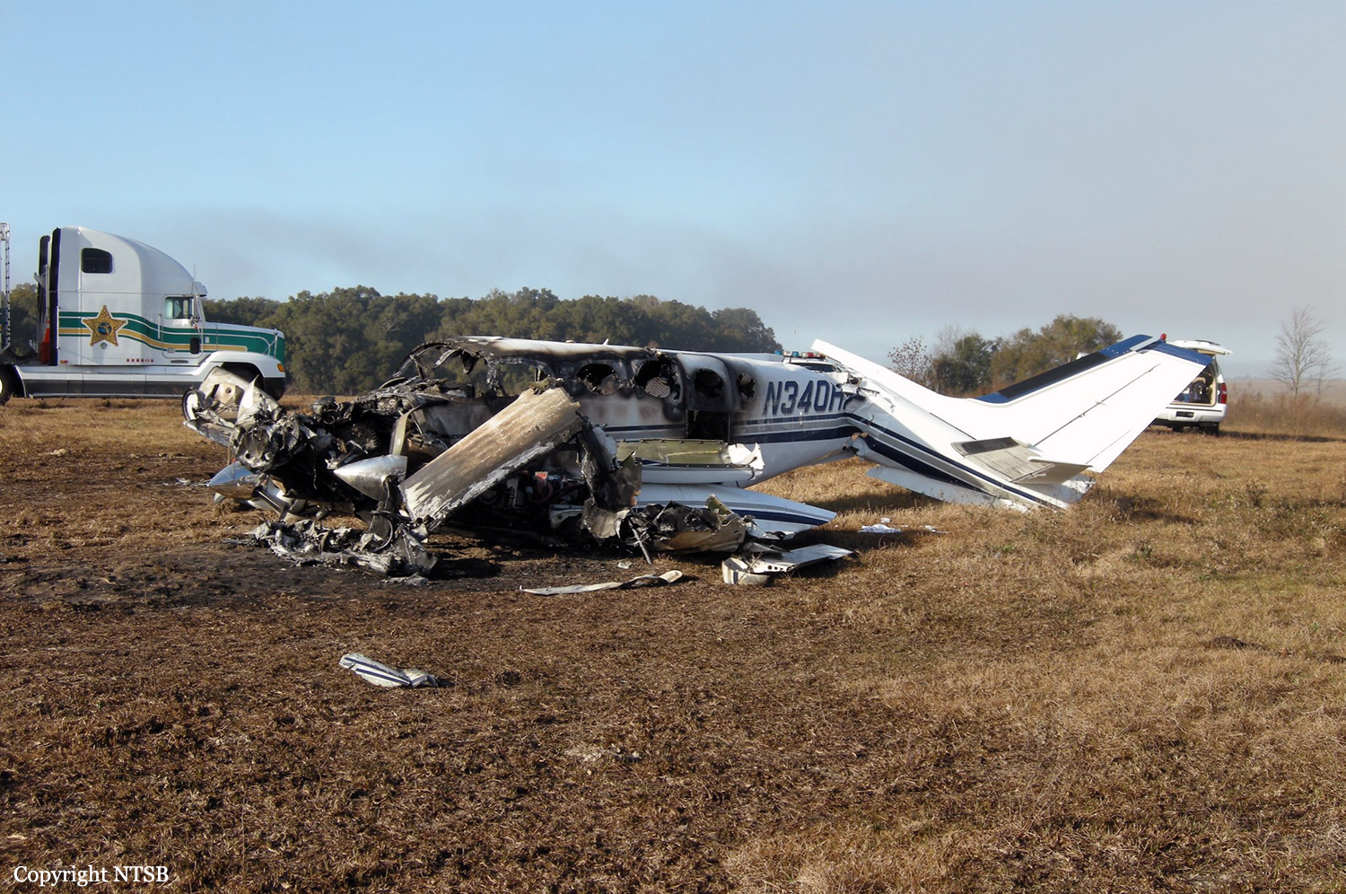
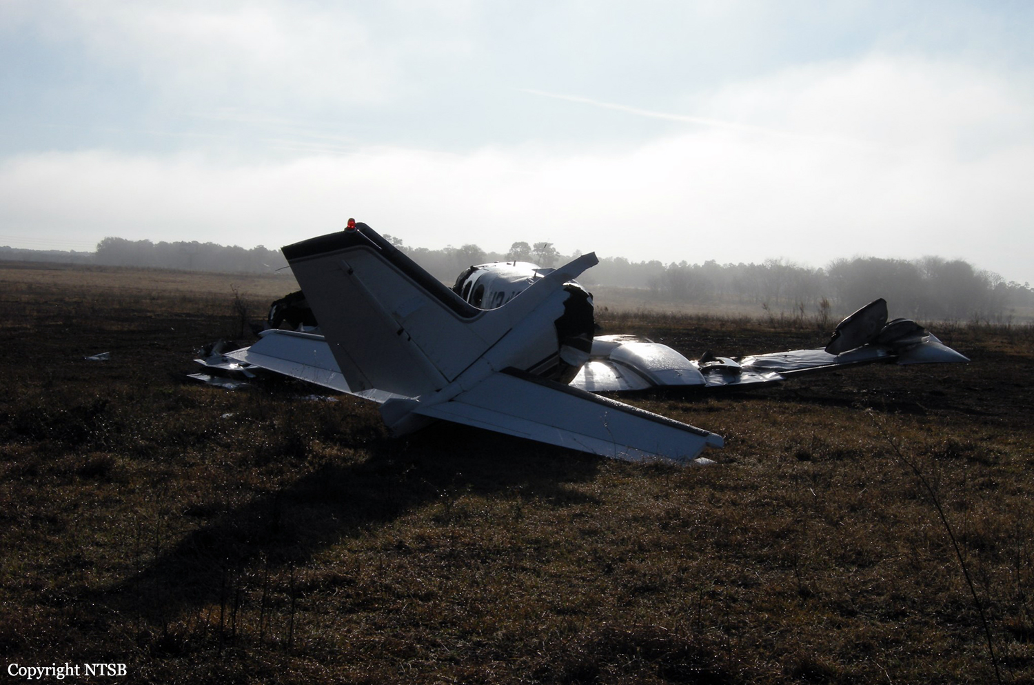
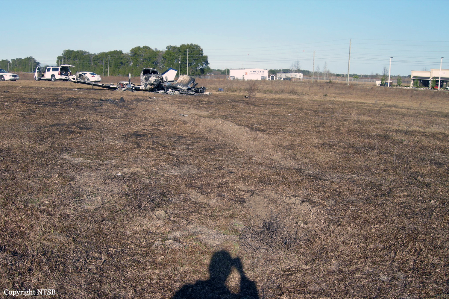
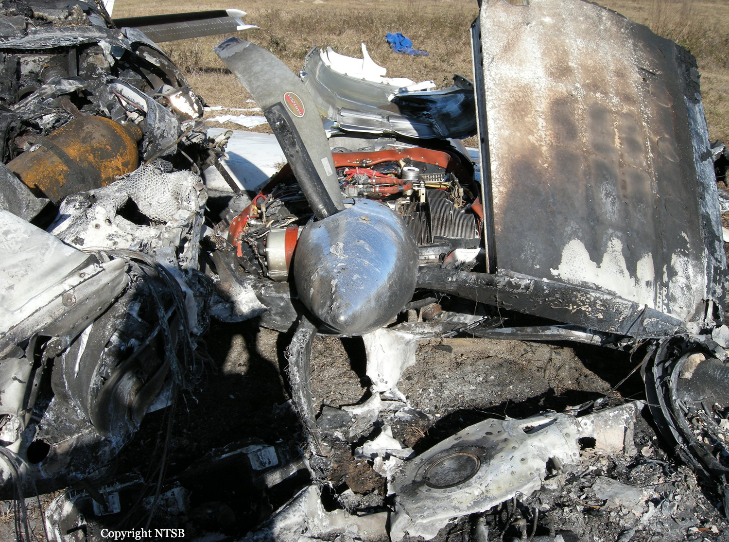
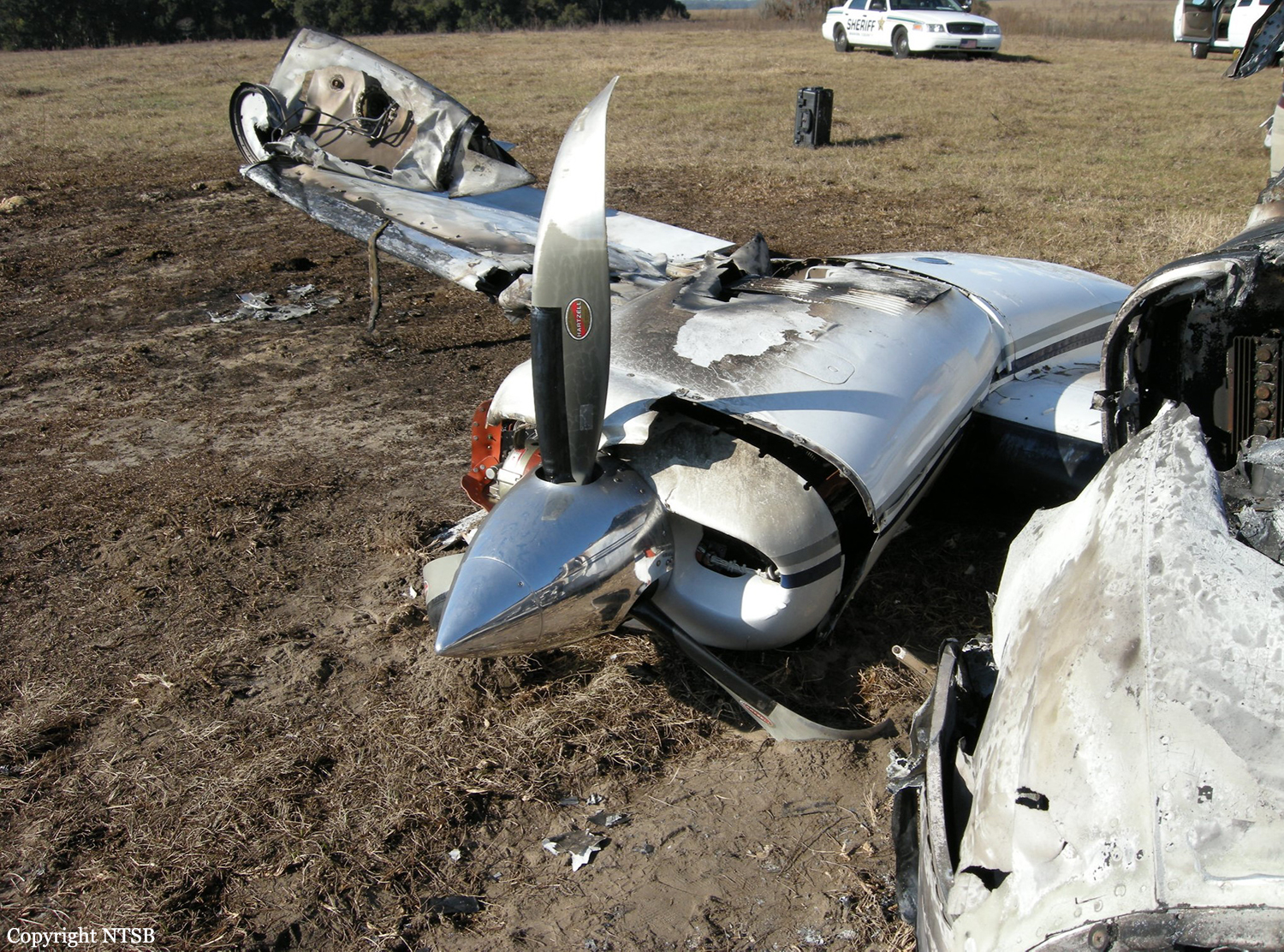
Four minutes after taking off on an instrument flight rules flight, during an assigned climb to 4,000 feet, the pilot advised the departure air traffic controller that the airplane was having "instrument problems" and that he wanted to "stay VFR" (visual flight rules), which the controller acknowledged. As directed, the pilot subsequently contacted the next sector departure controller, who instructed him to climb to 8,000 feet. The pilot stated that he would climb the airplane after clearing a cloud and reiterated that the airplane was having "instrument problems." The controller told the pilot to advise when he could climb the airplane. About 30 seconds later, the pilot told the controller that he was climbing the airplane to 8,000 feet, and, shortly thereafter, the controller cleared the airplane to 11,000 feet, which the pilot acknowledged. Per instruction, the pilot later contacted a center controller, who advised him of moderate-to-heavy precipitation along his (northbound) route for the next 10 miles and told him that he could deviate either left or right and, when able, proceed direct to an intersection near his destination. The pilot acknowledged the direct-to-intersection instruction, and the controller told the pilot to climb the airplane to 13,000 feet, which the pilot acknowledged. The pilot did not advise the center controller about the instrument problems. The airplane subsequently began turning east, eventually completing about an 80-degree turn toward heavier precipitation, and the controller told the pilot to climb to 15,000 feet, but the pilot did not respond. After two more queries, the pilot stated that he was trying to maintain "VFR" and that "I have an instrument failure here." The controller then stated that he was showing the airplane turning east, which "looks like a very bad idea." He subsequently advised the pilot to turn to the west but received no further transmissions from the airplane. Radar indicated that, while the airplane was turning east, it climbed to 9,500 feet but that, during the next 24 seconds, it descended to 7,500 feet and, within the following 5 seconds, it descended to just above ground level (the ground-based radar altitude readout was 0 feet). The pilot recovered the airplane and climbed it northeast-bound to 1,500 feet during the next 20 seconds. It then likely stalled and descended northwest-bound into shallow waters of a wildlife refuge. Weather radar returns indicated that the airplane's first descent occurred in an area of moderate-to-heavy rain but that the second descent occurred in light rain. The ceiling at the nearest recording airport, located about 20 nautical miles from the accident site, was 1,500 feet, indicating that the pilot likely climbed the airplane back into instrument meteorological conditions (IMC)before finally losing control. The investigation could not determine the extent to which the pilot had planned the flight. Although a flight plan was on file, the pilot did not receive a formal weather briefing but could have self-briefed via alternative means. The investigation also could not determine when the pilot first lost situational awareness, although the excessive turn to the east toward heavier precipitation raises the possibility that the turn likely wasn't intentional and that the pilot had already lost situational awareness. Earlier in the flight, when the pilot reported an instrument problem, the two departure controllers coordinated between their sectors in accordance with air traffic control procedures, allowing him to remain low and out of IMC. Although the second controller told the pilot to advise when he was able to climb, the pilot commenced a climb without further comment. The controller was likely under the impression that the instrument problem had been corrected; therefore, he communicated no information about a potential instrument problem to the center controller. The center controller then complied with the level of service required by advising the pilot of the weather conditions ahead and by approving deviations. The extent and nature of the deviation was up to the pilot with controller assistance upon pilot request. The pilot did not request further weather information or assistance with deviations and only told the center controller that the airplane was having an instrument problem after the controller pointed out that the airplane was heading into worsening weather. Due to impact forces, only minimal autopsy results could be determined. Federal Aviation Administration medical records indicated that the 16,560-hour former military pilot did not have any significant health issues, and the pilot's wife was unaware of any preexisting significant medical conditions. The wreckage was extremely fractured, which precluded thorough examination. However, evidence indicated that all flight control surfaces were accounted for at the accident scene and that the engines were under power at the time of impact. The airplane was equipped with redundant pilot and copilot flight instruments, redundant instrument air sources, onboard weather radar, and a storm scope. The pilot did not advise any of the air traffic controllers about the extent or type of instrument problem, and the investigation could not determine which instrument(s) might have failed or how redundant systems could have been failed at the same time. Although the pilot stated on several occasions that the airplane was having instrument problems, he opted to continue flight into IMC. By doing so, he eventually lost situational awareness and then control of airplane but regained both when he acquired visual ground contact. Then, for unknown reasons, he climbed the airplane back into IMC where he again lost situational awareness and airplane control but was then unable to regain them before the airplane impacted the water.
Probable cause:
The pilot's loss of situational awareness, which resulted in an inadvertent aerodynamic stall/spin after he climbed the airplane back into instrument meteorological conditions (IMC). Contributing to the accident was the pilot's improper decision to continue flight into IMC with malfunctioning flight instrument(s).
Final Report:

Crash of a Cessna 340A in Ocala: 1 killed

Date & Time: Jan 27, 2012 at 1227 LT
Type of aircraft:
Registration:
N340HF
Flight Type:
Survivors:
Yes
Schedule:
Macon - Ocala
MSN:
340A-0624
YOM:
1978
Location:
Crew on board:
1
Crew fatalities:
Pax on board:
1
Pax fatalities:
Other fatalities:
Total fatalities:
1
Captain / Total flying hours:
1048
Aircraft flight hours:
5057
Circumstances:
The pilot entered the left downwind leg of the traffic pattern to land to the north. A surface wind from the west prevailed with gusts to 15 knots. Radar data revealed that the airplane was on final approach, about 1.16 miles from the runway and about 210 feet above the ground. The airplane then crashed in a pasture south of the airport, in a slight left-wing-low attitude, and came to rest upright. The cockpit and cabin were consumed in a postcrash fire. The pilot's wife, who was in the aft cabin and survived the accident, recalled that it was choppy and that they descended quickly. She recalled hearing two distinct warning horns in the cockpit prior to the crash. The airplane was equipped with two aural warning systems in the cockpit: a landing gear warning horn and a stall warning horn. The pilot likely allowed the airspeed to decay while aligning the airplane on final approach and allowed the airplane to descend below a normal glide path. Examination of the wreckage revealed that the landing gear were in transit toward the retracted position at impact, indicating that the pilot was attempting to execute a go-around before the accident. The pilot made no distress calls to air traffic controllers before the crash. The pilot did not possess a current flight review at the time of the accident. Examination of the wreckage, including a test run of both engines, revealed no evidence of a pre-existing mechanical malfunction or failure that would have precluded normal operation of the airplane.
Probable cause:
The pilot's failure to maintain adequate airspeed and altitude on final approach, resulting in an impact with terrain short of the airport.
Final Report: