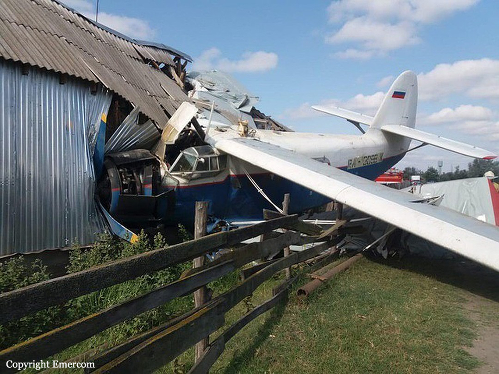
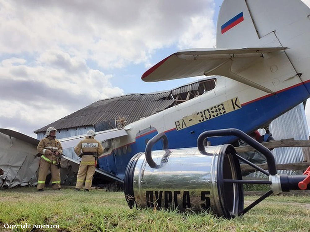
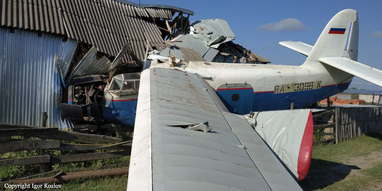
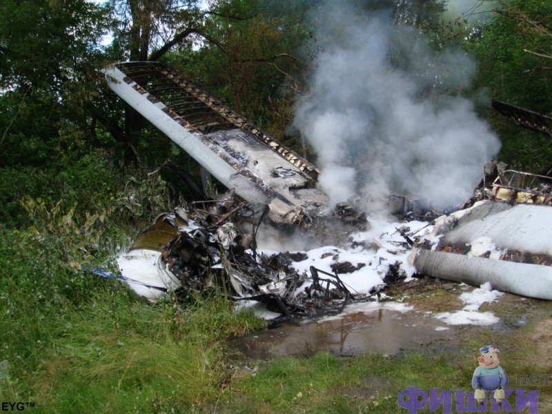
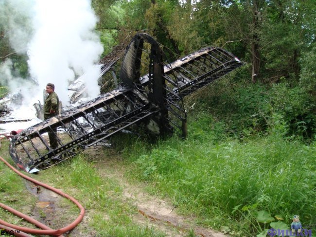
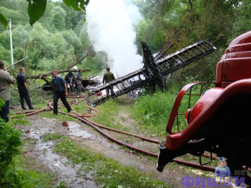
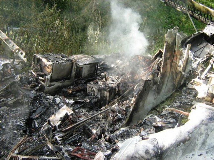
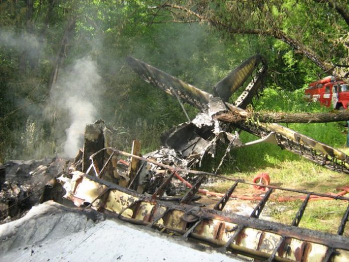
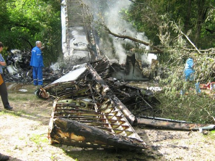
Crash of an Antonov AN-2 in Novoshchendrinskaya

Date & Time: Jul 16, 2019
Type of aircraft:
Operator:
Registration:
RA-3098K
Flight Phase:
Flight Type:
Survivors:
Yes
Site:
Country:
Region:
Crew on board:
1
Crew fatalities:
Pax on board:
0
Pax fatalities:
Other fatalities:
Total fatalities:
0
Circumstances:
The pilot, sole on board, was engaged in an aerial photography mission. In flight, he encountered engine problems and was forced to attempt an emergency landing. The aircraft crashed onto a barn located in Novoshchedrinskaya, about 15 km north of Gudermes. The pilot and three people in the barn were injured.

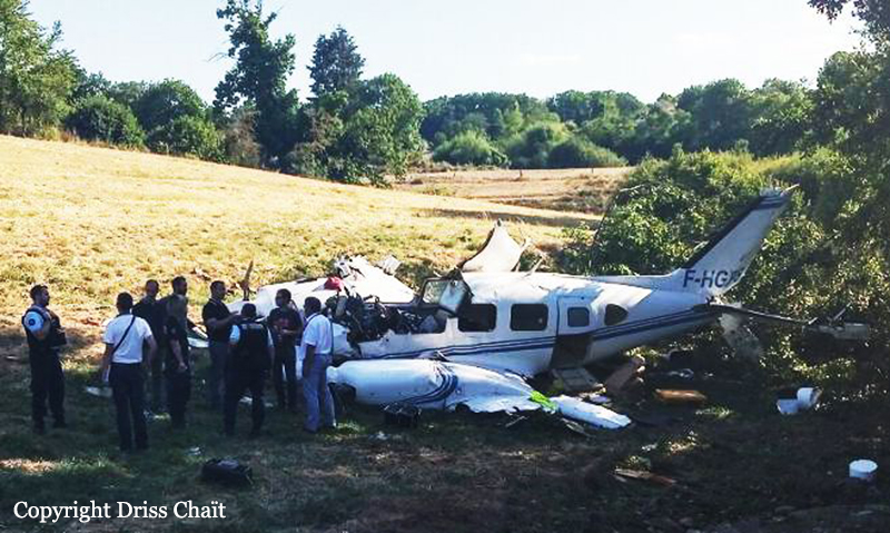
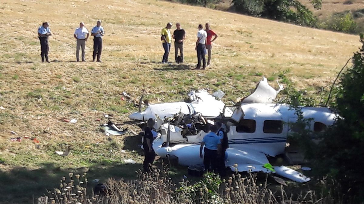
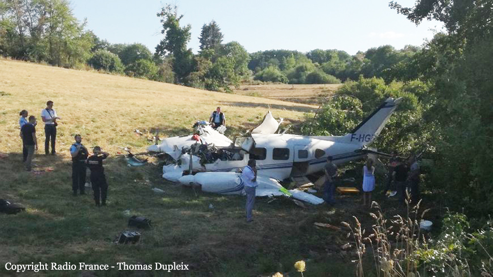
Crash of a Piper PA-31-310 Navajo in Limoges

Date & Time: Aug 21, 2018 at 1525 LT
Type of aircraft:
Operator:
Registration:
F-HGPS
Flight Type:
Survivors:
Yes
Schedule:
Limoges - Limoges
MSN:
31-245
YOM:
1968
Country:
Region:
Crew on board:
1
Crew fatalities:
Pax on board:
1
Pax fatalities:
Other fatalities:
Total fatalities:
0
Captain / Total flying hours:
1250
Circumstances:
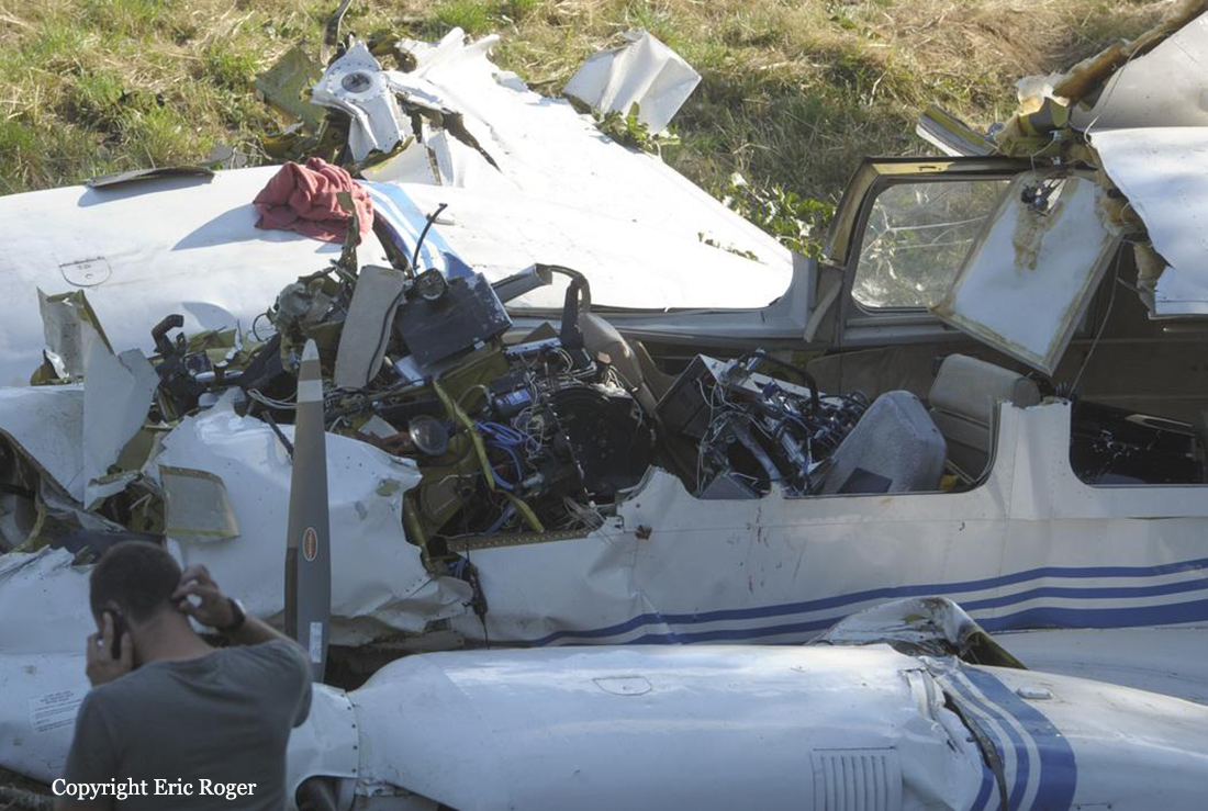
The twin engine airplane, owned by IMAO specialized in aerial photo missions, departed Limoges-Bellegarde Airport at 1009LT with one pilot (the Director of the Company, aged 58) and a female operator in charge of the aerial photo program. The goal of the mission was to fly over the sector of Peyrelevade at 7,000 feet then a second sector over Ussel at an altitude of 6,500 feet. Following an uneventful flight, the pilot return to Limoges, contacted ATC and was instructed to recall for a right base leg approach for a landing on runway 03. Two minutes after passing the altitude of 3,000 feet on approach, the pilot informed ATC he was short of fuel and that he was attempting an emergency landing. The airplane impacted trees and crashed in a field located near Verneuil-sur-Vienne, some 3,6 short of runway 03. Both occupants were seriously injured and the aircraft was damaged beyond repair.
Probable cause:
Emergency landing due to fuel exhaustion following a flight of five hours and 15 minutes.
Final Report:

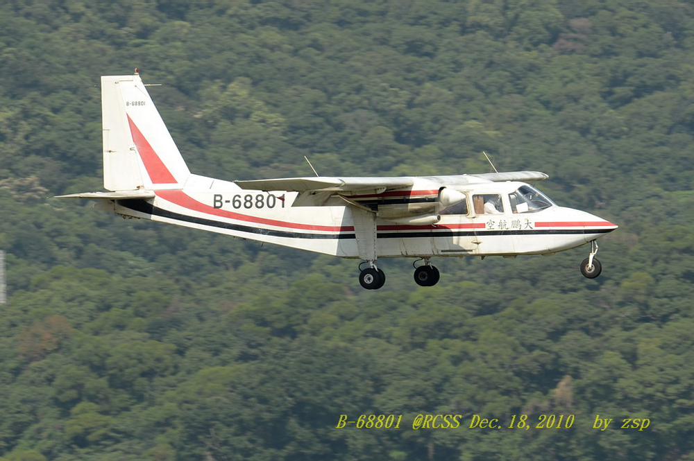
Crash of a Britten-Norman BN-2B-26 Islander near Jhuosi: 3 killed

Date & Time: Aug 30, 2012 at 0915 LT
Type of aircraft:
Registration:
B-68801
Flight Phase:
Flight Type:
Survivors:
No
Site:
Schedule:
Taipei - Taitung
MSN:
2255
YOM:
1991
Country:
Region:
Crew on board:
2
Crew fatalities:
Pax on board:
1
Pax fatalities:
Other fatalities:
Total fatalities:
3
Captain / Total flying hours:
12545
Captain / Total hours on type:
465.00
Copilot / Total flying hours:
11212
Copilot / Total hours on type:
245
Aircraft flight hours:
4909
Aircraft flight cycles:
2426
Circumstances:
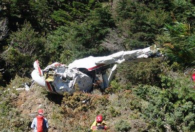
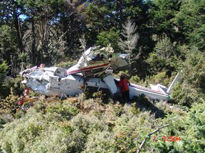
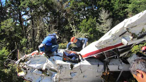
On August 30, 2012, a RAC’s BN-2B-26 aircraft, registration number B-68801, contracted by Real World Engineering Consultants Inc. (Real World) to perform an aerial photogrammetry mission with a captain, a first officer and an aerial photographer on board. The flight plan was to take off from Songshan Airport, requested for instrument departure and visual flight rules to conduct aerial photogrammetry mission in Hualien and Taitung area, the aircraft planned to land at Taitung Airport after the mission accomplished. The aircraft took off at 0726, approximately 18 minutes after took off, the flight crew changed flight mode from instrument flight rules to visual flight rules. At 0827, the aircraft entered Hualien County Fenglin, Guangfu, Wanrong aerial photograph area, maintain 8,300 feet to 8,500 feet altitude and continued climbing to Jhuosi, Hualien County photo area at 0919. From 0837 to 0843, Taipei Approach informed the flight crew ‘Radar can’t cover you…..make sure maintain visual flight’. There were about 7 times communication blockage between the aircraft and Taipei Approach during 0755 to 0913 period. The Kaohsiung Approach Control contacted the aircraft at 0913:39 and lost contact with the aircraft at 0914:20 after the last communication. At 0920:55, the aircraft was at 260 degrees, 31.5 km mountain area from Yuli, Taitung and began to turn right heading 280 degrees. The last recorded Light Detection and Ranging (LIDAR) device data was 262 degrees, 35.9 km west of Yuli′s mountain area with coordinates of 23 ° 20 ′25.01 " latitude and 121 ° 01′ 50.03" longitude. At the time of the last recording, the aircraft was at 9,572 feet with about 69 knots ground speed, 250 degrees heading, the climb rate was 874 ft / min and the pitch was 23.5 degrees. At 0940, Taipei Mission Control Center (MCC) received ELT (Emergency Locator Transmitter) signals, about the same time, Japan Coast Guard informed Rescue Command Center, Executive Yuan (RCC) of the same ELT signals. After verification with Civil Aeronautics Administration, Ministry of Transportation and Communications (CAA), RCC confirmed that the aircraft had lost contact. At 0955 on September 1, 2012, the search and rescue aircraft discovered the aircraft crashed at altitude about 9,568 feet of the original forest, about 20 kilometers southwest of Jhuosi, Hualien County. Three crew members on board were killed, and the aircraft was destroyed.
Probable cause:
After completing the aerial photogrammetry of Morakot No.16 measuring line, the aircraft turned 280 degrees to the right and attempted to climb to get out of the valley area. During climbing, the pitch of the aircraft was remained more than 20 degrees for a few seconds, the aircraft might nearly close to stall and activated stall warning. The aircraft performance might not be able to fly over the obstacles ahead under this condition, the aircraft flew into trees and crashed. When completing the aerial photography of Morakot No.16 measuring line from the north to the south, the aircraft could not be able to fly over mountains ahead between the direction of 9 to 3 o’clock with the aircraft best climb performance. Despite the available climbing distance was longer when flight crew chose to turn to the right, the area geography was not favorable for circling climb or turn around to escape the mountain area safely. The on board personnel choose to perform an aerial photogrammetry at Morakot when weather condition was permitted after completing the aerial photography at Wanrong Woods without any advance planning due to the Morakot aerial photography had been behind schedule.
Final Report:

Crash of a Pilatus PC-6/B2-H4 Turbo Porter in Muaritan: 2 killed

Date & Time: Apr 25, 2012 at 1730 LT
Operator:
Registration:
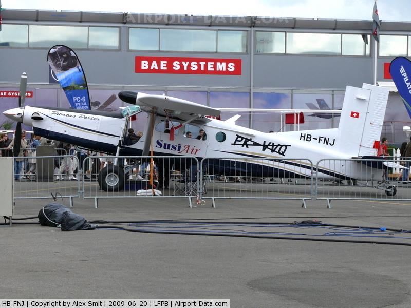
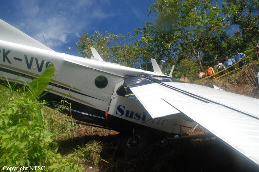
PK-VVQ
Flight Phase:
Flight Type:
Survivors:
No
Schedule:
Balikpapan - Balikpapan
MSN:
965
YOM:
2009
Country:
Region:
Crew on board:
1
Crew fatalities:
Pax on board:
1
Pax fatalities:
Other fatalities:
Total fatalities:
2
Captain / Total flying hours:
1912
Captain / Total hours on type:
81.00
Aircraft flight hours:
2397
Aircraft flight cycles:
3466
Circumstances:
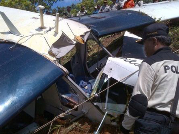
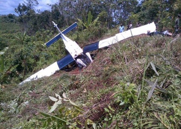
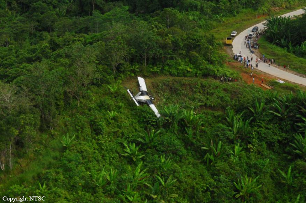
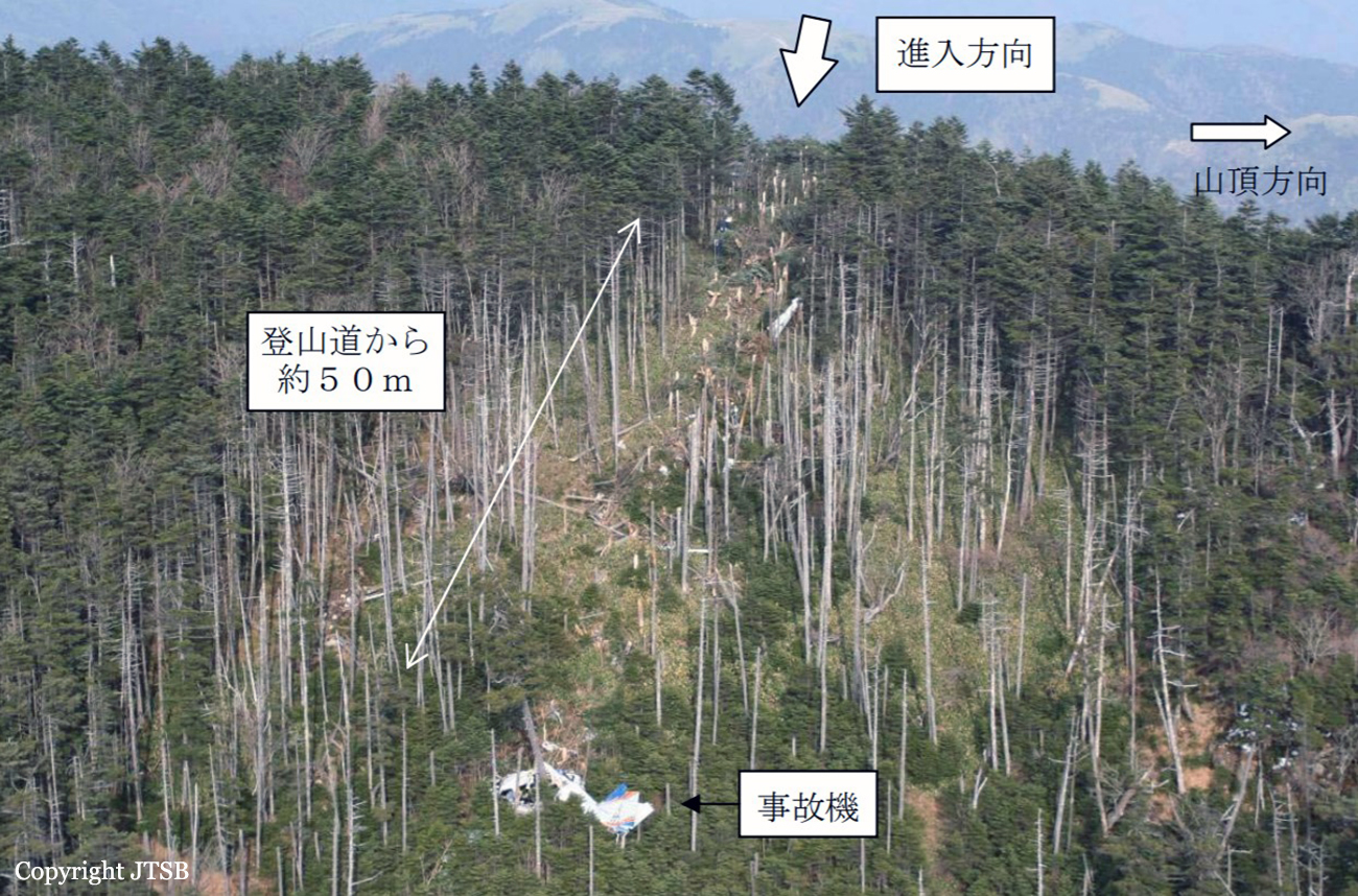
The Pilatus Porter PC-6 aircraft operated by PT. Puji Astuti Aviation (Susi Air) registered PK-VVQ on Areal Survey Flight, departed from Sepinggan-Balikpapan to Melak Area on 25 April 2012 at 0440 UTC (Universal Time Coordinate) or 1240 LT. There were one pilot and one pasenger on board, the estimate flight endurance was seven hours. At 0505 the aircraft reported leaving Balikpapan Approach. At 0910 the aircraft was reported to Melak Radio on radial 060 at the altitude of 3,500 feet, and that it would be leaving Survey after a further twenty minutes. Melak Radio reported that the aircraft lost contact at 0930. At 0922 a text message was sent by the passenger to his employer stating “Run out of fuel, landing on road”. The Search and Rescue Bureau informed that a distress signal was tetected on 1025 at the position of 00 25’.02” N 116.02’.48”E. On 26 April 2012 at 1730 UTC the aircraft was found in Muaritan – Kecamatan Tabang, Kutai Karta Negara at the position 00 25’.03” N 116.01’.55”E. The aircraft was substantially damaged, the pilot and the passenger were fatally injured.
Probable cause:
The engine flamed out caused by lack of fuel supply from main fuel tank to the engine. The pilot likely fixated on the survey flight execution and lost awareness of his fuel situation. The transferring of fuel from the auxiliary tank was not performed during the flight as required. The combination of inexperience of the pilot related to survey flying, fatigue and the highly demanding survey operator contributed to this sequence of events.
Final Report:

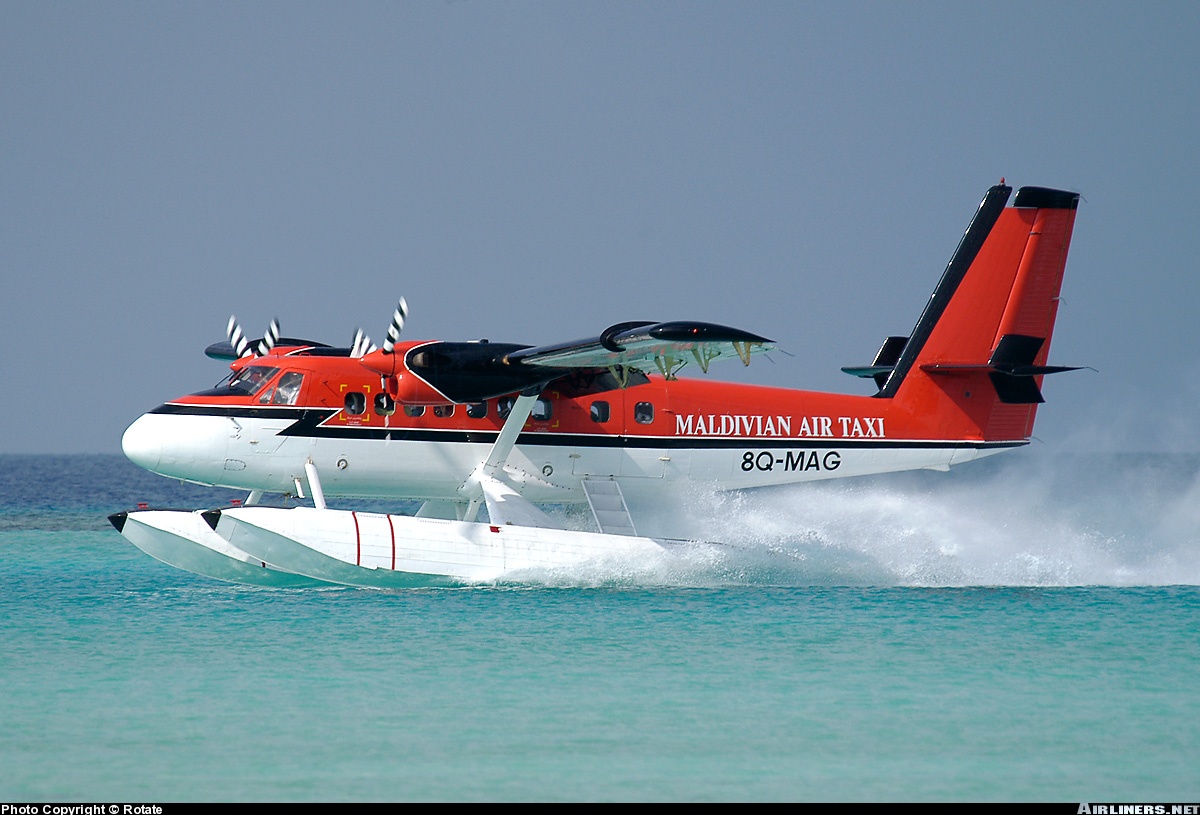
Crash of a De Havilland DHC-6 Twin Otter 200 in Halaveli

Date & Time: Jun 2, 2009 at 1009 LT
Operator:
Registration:
8Q-MAG
Flight Type:
Survivors:
Yes
Schedule:
Male - Halaveli
MSN:
224
YOM:
1969
Region:
Crew on board:
3
Crew fatalities:
Pax on board:
4
Pax fatalities:
Other fatalities:
Total fatalities:
0
Captain / Total flying hours:
3556
Captain / Total hours on type:
3240.00
Copilot / Total flying hours:
1974
Copilot / Total hours on type:
1688
Aircraft flight hours:
33685
Circumstances:
The 8Q-MAG aircraft departed at 0945hrs, with 3 crew and 4 passengers on board, for a Photo Flight around the Lagoon of Halaveli (North Ari Atoll) from the floating platform ( fixed to jetty) of Halaveli (North Ari Atoll). The sky was clear with good visibility and wind, 8-10 knots, from westerly direction. The estimated flight time for the flight was 40 minutes. The aircraft took off westbound. After levelling the aircraft the co-pilot gave his seat to the cameraman, one of the passengers. The co-pilot remained at third row left seat from thereon until the aircraft met the accident. According to the crew and passengers the aircraft made few orbits (right bank) around the island at the initial levelled height and, then descended lower heights and made few more orbits around the lagoon for photography. The passenger seated at the cabin wearing the headset informed the PIC that they got all the shots they wanted and now he could land. PIC started a descending turn (right bank) while keeping the passenger at the co-pilot seat in order to give a different view to him. Before the PIC could complete the turn, the right wing and/or float hit the water. The accident resulted in both wings being broken at the root. Left float was detached and right float got stuck, between the engine and the fuselage, blocking the co-pilot exit. Empennage was twisted upside down. The depth of the lagoon at the site of wreckage was about 1 meter. All the passengers and crew were able to escape the aircraft without any fatalities.
Probable cause:
It was observed by the investigation team that;
• The PIC was conducting flying activities (photographic activities) lower than that allowed in regulations and company operations manual and standard operating procedures.
• At the time of accident a passenger was occupying the co-pilot seat.
• PIC could not make a fair judgment of the aircraft altitude by looking outside since the aircraft was banking to the right for a turn and the co-pilot seat was occupied by a passenger.
• The crew of the aircraft acted swiftly to save lives, after the aircraft came to a halt.
• Investigation revealed that the right float forward and both wingtips were severely damaged. Since the aircraft was right banked at the impact it was evident that the right wing and/or float were the first to impact with the water.
Final Report:

Crash of a PZL-Mielec AN-2R near Osinovy Mys

Date & Time: Aug 29, 2008
Type of aircraft:
Operator:
Registration:
RA-68126
Flight Phase:
Flight Type:
Survivors:
Yes
MSN:
1G195-31
YOM:
1982
Country:
Region:
Crew on board:
2
Crew fatalities:
Pax on board:
2
Pax fatalities:
Other fatalities:
Total fatalities:
0
Circumstances:
While performing an aerial photography mission, the engine failed. The crew attempted an emergency landing and reduced his altitude when the aircraft collided with trees and crashed in a field, coming to rest upside down. The wreckage was found a day later about 50 km from Osinovy Mys. All four occupants were injured.
Probable cause:
Engine failure for unknown reasons.

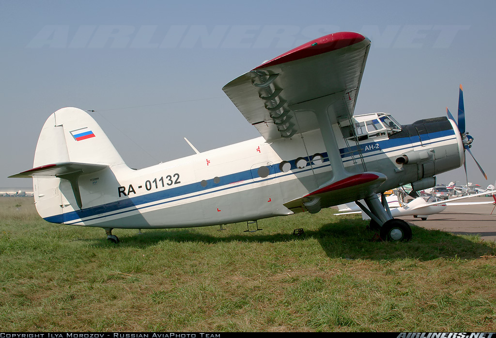
Crash of a PZL-Mielec AN-2 in Bol’shoye Gryzlovo: 5 killed

Date & Time: Jun 27, 2008 at 1756 LT
Type of aircraft:
Operator:
Registration:
RA-01132
Flight Phase:
Flight Type:
Survivors:
No
Schedule:
Bol’shoye Gryzlovo - Bol’shoye Gryzlovo
MSN:
1G238-60
YOM:
1990
Country:
Region:
Crew on board:
2
Crew fatalities:
Pax on board:
3
Pax fatalities:
Other fatalities:
Total fatalities:
5
Circumstances:
The single engine aircraft departed Bol’shoye Gryzlovo Airport at 1753LT on a local aerial photography mission, carrying three photographer and two pilots. Three minutes after takeoff, the engine failed. The crew attempted an emergency landing when the aircraft struck power cables and crashed in a wooded area, bursting into flames. All five occupants were killed.
Probable cause:
Collision of the aircraft with power lines during a forced landing following an engine failure in flight.
The following contributing factors were identified:
- The aircraft was refueled with a poor quality fuel prior to the last flight,
- Lack of fuel quality control during its storage, transportation and refueling process.

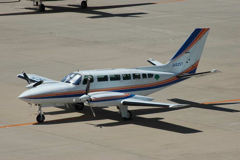
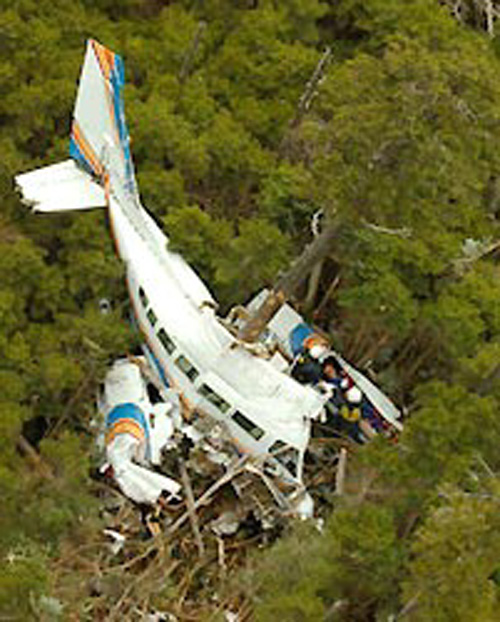
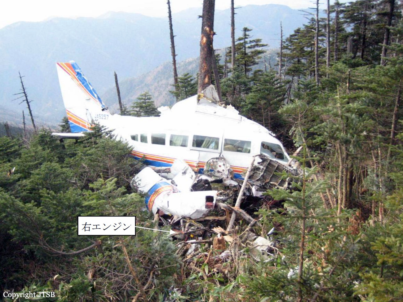
Crash of a Cessna 404 Titan near Nakatsugawa: 2 killed

Date & Time: Nov 15, 2007 at 1036 LT
Type of aircraft:
Operator:
Registration:
JA5257
Flight Phase:
Flight Type:
Survivors:
Yes
Site:
Schedule:
Nagoya - Nagoya
MSN:
404-0041
YOM:
1977
Country:
Region:
Crew on board:
2
Crew fatalities:
Pax on board:
1
Pax fatalities:
Other fatalities:
Total fatalities:
2
Captain / Total flying hours:
16512
Captain / Total hours on type:
837.00
Aircraft flight hours:
5671
Circumstances:
The twin engine aircraft departed Nagoya Airport at 0846LT on an aerial photography mission over the Mt Ena and Gifu district. Several circuits were completed over the area of Mt Ena at various altitudes and in good weather conditions. Approaching Mt Ena at an altitude of about 2,000 metres, weather conditions worsened as the mountain was shrouded in clouds. While flying under VFR mode, the aircraft entered clouds, collided with a tree and crashed in a wooded area. The copilot (a mechanic) was seriously injured while both other occupants were killed. The aircraft was destroyed.
Probable cause:
Controlled flight into terrain after the pilot decided to continue under VFR mode in IMC conditions.
Final Report:

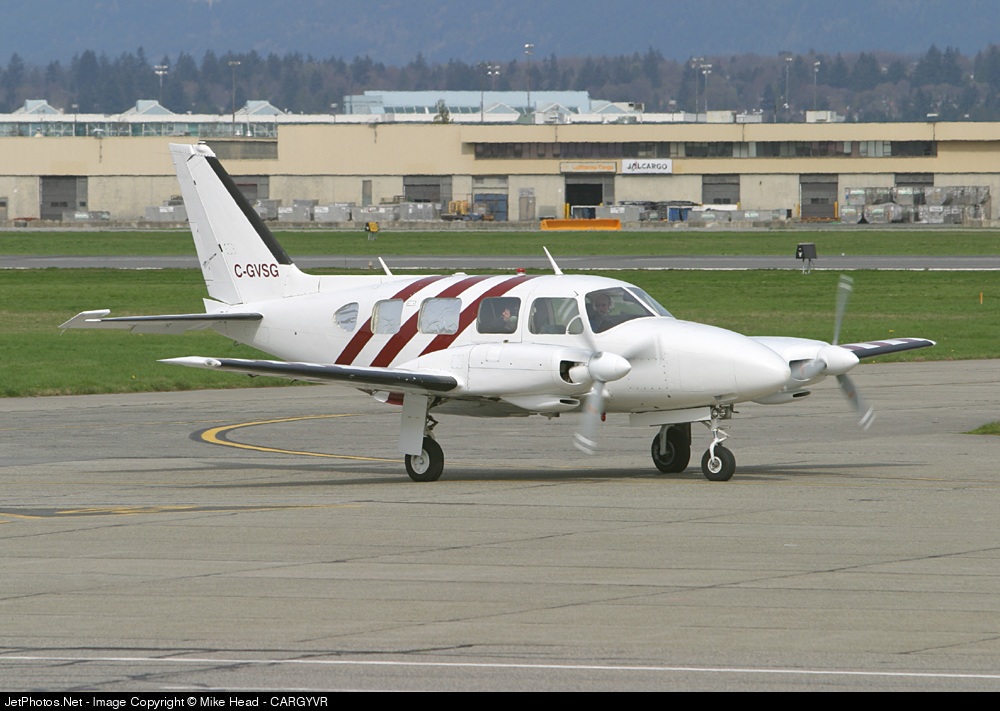
Crash of a Piper PA-31-310 Navajo in Revelstoke

Date & Time: Apr 23, 2007 at 1421 LT
Type of aircraft:
Operator:
Registration:
C-GVSG
Flight Type:
Survivors:
Yes
Schedule:
Vancouver - Revelstoke
MSN:
31-418
YOM:
1969
Country:
Crew on board:
1
Crew fatalities:
Pax on board:
1
Pax fatalities:
Other fatalities:
Total fatalities:
0
Circumstances:
The pilot and the passenger, a photographer, departed Vancouver at 0911LT with 5.5 hours of fuel to conduct a VFR aerial photographic flight over the Arrow Lakes area. At 1420LT, the aircraft entered the circuit at Revelstoke Airport to refuel and to allow the photographer to change camera film. The pilot reportedly selected the landing gear down as the aircraft turned base and heard the gear clunk into position. When the aircraft turned final however, the red in-transit light was illuminated and the nose gear was not visible in the mirror. The pilot selected the gear lever up and down a couple of times but the gear did not extend. When the pilot advanced the throttles to conduct an overshoot, both engines surged and sputtered. The pilot retarded the throttles and conducted a gear-up landing in a grassy area off the end of runway 30. During the landing, the dry 8-inch high grass caught fire. Both occupants escaped from the aircraft that was destroyed by ground fire.

Crash of a Piper PA-42-720 Cheyenne III in Prescott: 5 killed

Date & Time: Oct 18, 2006 at 1347 LT
Type of aircraft:
Operator:
Registration:
N121CS
Flight Phase:
Flight Type:
Survivors:
No
Schedule:
Prescott - Prescott
MSN:
42-8001032
YOM:
1981
Crew on board:
1
Crew fatalities:
Pax on board:
4
Pax fatalities:
Other fatalities:
Total fatalities:
5
Captain / Total flying hours:
4363
Aircraft flight hours:
5317
Circumstances:
The pilot of a MiG 21 and the pilot of a Piper PA-42 Cheyenne III met just prior to the flight to discuss the flight in which the Cheyenne pilot would be taking aerial photos of the MiG. The two pilots established a minimum altitude of 2,500 to 3,000 feet agl and 200 knots as their minimum airspeed. The pilots did not establish a minimum separation distance, as it was not intended to be a formation flight. The MiG pilot reported that after takeoff the aircraft experienced a problem with the landing gear retraction. The pilot recycled the landing gear and a successful gear retraction was indicated. The MiG pilot notified the Cheyenne pilot of the situation and the Cheyenne pilot indicated that they would join up with the MiG, look it over and check-out the landing gear, and let the MiG pilot know what they saw. The MiG pilot flew at 9,000 feet msl in a 30-degree right hand turn at 200 knots (about 90 percent power set) with approach flaps selected (approximately 25 degrees) until the Cheyenne met up with the MiG. The MiG pilot reported that he observed the Cheyenne meet up with him at his 5 o'clock position about 300-400 feet behind him and about the same altitude. In this position, the Cheyenne was in the direct path of the high velocity jet core exhaust from the MiG. The MiG pilot looked forward and when he looked back, he could not see the Cheyenne. The Cheyenne pilot then contacted the MiG pilot and made a comment about the right landing gear or gear door, but the statement was not completed. The MiG pilot did not hear back from the Cheyenne pilot. The MiG pilot then observed smoke rising from the desert terrain and notified air traffic control. The airport manager that was monitoring the conversation between the two aircraft stated that he heard the Cheyenne pilot indicate that he would "drop down and go underneath and let you know how it looks." Wreckage documentation noted that the main wreckage was located in an inverted position on flat terrain. The T-tail, which consisted of the upper half of the vertical stabilizer, horizontal stabilizer, and elevator had separated in flight and was located about 1/2 mile south of the main wreckage. Inspection of the upper portion of the aft vertical spar displayed a right bend and twist at the point of separation. No evidence of pre-existing cracks, corrosion or wear was noted to the material. Inspection of the MiG aircraft found no evidence of contact between the two aircraft.
Probable cause:
The failure of the pilot following a jet aircraft to maintain adequate separation from the high velocity jet core exhaust. The separation of the T-tail upper section vertical stabilizer of the following aircraft due to contact with the high velocity jet core exhaust was a factor.
Final Report: