Zone

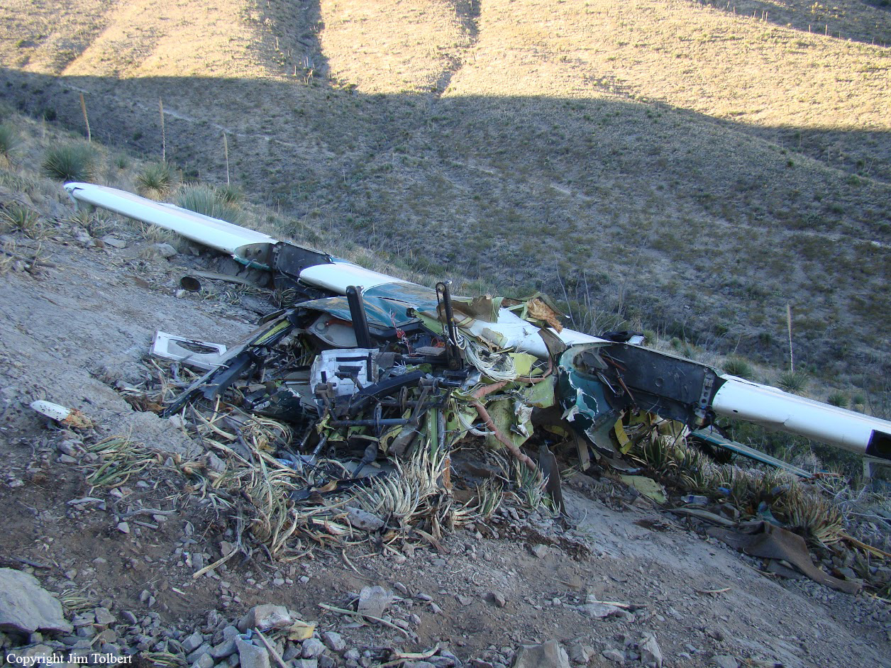
Crash of a Beechcraft BeechJet 400A in Telluride

Date & Time: Dec 23, 2015 at 1415 LT
Type of aircraft:
Operator:
Registration:
XA-MEX
Survivors:
Yes
Schedule:
Monterrey – El Paso – Telluride
MSN:
RK-396
YOM:
2004
Crew on board:
2
Crew fatalities:
Pax on board:
5
Pax fatalities:
Other fatalities:
Total fatalities:
0
Captain / Total flying hours:
7113
Captain / Total hours on type:
1919.00
Copilot / Total flying hours:
8238
Copilot / Total hours on type:
1412
Aircraft flight hours:
5744
Circumstances:
The pilots were conducting an international chartered flight in the small, twin-engine jet with five passengers onboard. Since the weather at the destination was marginal, the flight crew had discussed an alternate airport in case weather conditions required a missed approach at their destination. As the airplane neared the non-towered destination airport, the flight crew received updated weather information, which indicated that conditions had improved. Upon contacting the center controller, the crew was asked if they had the weather and NOTAMS for the destination airport. The crew reported that they received the current weather information, but did not state if they had NOTAM information. The controller responded by giving the flight a heading for the descent and sequence into the airport. The controller did not provide NOTAM information to the pilots. About 2 minutes later, airport personnel entered a NOTAM via computer closing the runway, effective immediately, for snow removal. Although the NOTAM was electronically routed to the controller, the controller's system was not designed to automatically alert the controller of a new NOTAM; the controller needed to select a display screen on the equipment that contained the information. At the time of the accident, the controller's workload was considered heavy. About 8 minutes after the runway closure NOTAM was issued, the controller cleared the airplane for the approach. The flight crew then canceled their instrument flight plan with the airport in sight, but did not subsequently transmit on or monitor the airport's common traffic advisory frequency, which was reportedly being monitored by airport personnel and the snow removal equipment operator. The airplane landed on the runway and collided with a snow removal vehicle about halfway down the runway. The flight crew reported they did not see the snow removal equipment. The accident scenario is consistent with the controllers not recognizing new NOTAM information in a timely manner due to equipment limitations, and the pilots not transmitting or monitoring the common traffic advisory frequency. Additionally, the accident identifies a potential problem for flight crews when information critical to inflight decision-making changes while en route, and problems when controller workload interferes with information monitoring and dissemination.
Probable cause:
The limitations of the air traffic control equipment that prevented the controller's timely recognition of NOTAM information that was effective immediately and resulted in the issuance of an approach clearance to a closed runway. Also causal was the pilots' omission to monitor and transmit their intentions on the airport common frequency. Contributing to the accident was the controller's heavy workload and the limitations of the NOTAM system to distribute information in a timely manner.
Final Report:

Crash of a Partenavia P.68 Observer in Anthony

Date & Time: Nov 10, 2010 at 1100 LT
Type of aircraft:
Operator:
Registration:
N44956
Flight Phase:
Survivors:
Yes
Site:
Schedule:
El Paso - El Paso
MSN:
318-13/OB
YOM:
1983
Crew on board:
1
Crew fatalities:
Pax on board:
2
Pax fatalities:
Other fatalities:
Total fatalities:
0
Captain / Total flying hours:
4562
Captain / Total hours on type:
106.00
Aircraft flight hours:
7065
Circumstances:
While performing a low-level law enforcement patrol flight, the pilot crossed a ridge and observed a parked vehicle. To investigate further, he lowered the flaps and descended to approximately 200 feet, into a canyon. The pilot made a second pass over the vehicle and initiated a right turn, during which the airplane encountered a tailwind that resulted in a rapid loss of airspeed and a descent. The pilot leveled the airplane and increased the power; however, the airplane was too slow and low to turn out of the canyon. As a result, the airplane stalled and impacted terrain. The pilot stated there were no preflight mechanical malfunctions or anomalies with the airplane.
Probable cause:
The pilot's decision to conduct a low-level flight in mountainous terrain in an area where downdrafts were prevalent, resulting in the inadvertent loss of control and the collision with the terrain.
Final Report:

Crash of a Cessna 421B Golden Eagle near San Antonio del Bravo: 4 killed

Date & Time: Sep 14, 2008 at 1318 LT
Registration:
N7560Q
Flight Phase:
Survivors:
No
Site:
Schedule:
El Paso - Presidio
MSN:
421B-0346
YOM:
1973
Country:
Crew on board:
1
Crew fatalities:
Pax on board:
3
Pax fatalities:
Other fatalities:
Total fatalities:
4
Circumstances:
On September 15, 2008 Cessna 421B, N7560Q, was substantially damaged after it collided with mountainous terrain approximately 28 miles northwest of Ojinaga, Mexico, near the border town of Presidio, Texas. The air transport rated pilot and the three passengers were fatally injured. The pilot contacted the Fort Worth Automated Flight Service Station (AFSS), Fort Worth, Texas, at 1016, approximately 15 minutes after he departed El Paso International Airport, El Paso, Texas, and filed a visual flight rules flight plan to Presidio, Texas. The pilot informed an AFSS specialist that he intended to enter Mexican airspace for the purpose of flying over the Luis Leon Dam, but had no intentions of landing in Mexico. The pilot did not request a weather briefing for the flight however, he was informed by the specialist that visual flight rules were not recommended due to mountain obscuration. Onboard the airplane were the pilot, the United States and Mexican Commissioners of the International Boundary and Water Commission (IBWC), and the Executive Director for the Rio Grande Council of Governments. The purpose of the flight was to assess Rio Grande flood conditions at Presidio-Ojinaga and to coordinate joint US-Mexican efforts with local officials to address flood control concerns in the area due to heavy inflows to the Rio Grande from reservoirs inside Mexico as a result of recent storms. The airplane wreckage was located on September 17, 2008, by the Marfa Sector of the US Customs and Border Protection Air and Marine Division, on the west side of the Sierra Grande Mountains, at an approximate elevation of 6,500 feet mean sea level (msl). The airplane came to rest approximately 100-150 feet below the top of a ridgeline on a heading of 055 degrees along victor-airway V81.

Crash of a Piper PA-31T Cheyenne II in Hobbs: 1 killed

Date & Time: Oct 31, 2002 at 0733 LT
Type of aircraft:
Registration:
N3998Y
Flight Phase:
Flight Type:
Survivors:
No
Schedule:
Hobbs - El Paso
MSN:
31-8020055
YOM:
1980
Crew on board:
1
Crew fatalities:
Pax on board:
0
Pax fatalities:
Other fatalities:
Total fatalities:
1
Captain / Total flying hours:
2893
Captain / Total hours on type:
765.00
Aircraft flight hours:
4900
Circumstances:
The pilot of the twin turbo-prop airplane lost control of the aircraft during the initial takeoff climb phase while in instrument meteorological conditions. An instrument flight rules flight plan was filed for the planned 169-nautical mile cross-country flight. The aircraft impacted terrain approximately 1.7 miles northwest of the departure airport. The 2,893-hour instrument rated private pilot, who had accumulated over 765 flight hours in the same make and model, had been cleared to his destination "as filed," and told to maintain 7,000 feet, and to expect 17,000 feet in 10 minutes. After becoming airborne, the flight was cleared for a left turn. The tower controller then cleared the flight to contact air route traffic control center. The pilot did not acknowledge the frequency change; however, he did establish radio contact with center on 133.1, and reported "climbing through 4,900 feet for assigned 7,000." The weather reported at the time of flight was winds from 010 degrees at 15 knots with 700 feet overcast and 3 miles visibility in mist. The radar controller observed the aircraft climbing through 5,500 feet and subsequently observed the airplane starting a descent. No distress calls were received from the flight. Signatures at the initial point of impact were consistent with a nose-low ground impact in a slight right bank. A post-impact fire consumed the airplane. No discrepancies or anomalies were found at the accident site that could have prevented normal operation of the airplane.
Probable cause:
The pilot's loss of control while in instrument meteorological conditions during initial takeoff climb. Contributing factors were the prevailing clouds and fog.
Final Report:

Crash of a Learjet 24D in Sierra Blanca: 2 killed

Date & Time: Dec 10, 2001 at 1821 LT
Type of aircraft:
Registration:
N997TD
Flight Phase:
Flight Type:
Survivors:
No
Schedule:
Harlingen – El Paso
MSN:
24-247
YOM:
1972
Flight number:
Turbodog36
Crew on board:
2
Crew fatalities:
Pax on board:
0
Pax fatalities:
Other fatalities:
Total fatalities:
2
Captain / Total flying hours:
20000
Captain / Total hours on type:
15000.00
Copilot / Total flying hours:
1400
Aircraft flight hours:
7966
Circumstances:
The twin-turbojet, transport-category airplane was destroyed when it departed controlled flight during descent into its final destination and impacted terrain. The flight was cleared to descend from FL 390 to 10,000 feet, and the flight crew established a 4,000-foot/minute descent. As the airplane descended through FL 219, air traffic control requested the pilot contact approach control. However, the pilot read back an incorrect frequency and spoke an unintelligible word. The controller attempted to correct the pilot; however, no additional communications were received from the flight crew. Located within a pause in the pilot's last transmission, a 1680 Hz frequency could be heard for 0.1 seconds. There are only two systems in the airplane with aural warning systems within that frequency range; the cabin altitude warning, and the overspeed warning (both systems were destroyed during the accident sequence). Shortly after the last transmission from the pilot, radar data depicted the airplane climbing back up to FL 231 before entering a steep and rapid descent. A performance study indicated that just prior to the loss of control, the airplane exceeded its maximum operating airspeed of 300 knots calibrated. However, according to the manufacturer, the airplane had been successfully flown at airspeeds up to 400 knots calibrated without loss of control. The right wing and sections of the right horizontal stabilizer/elevator separated from the airplane just prior to its impact with terrain and were located approximately 200-250 feet from the main impact crater. No anomalies with the airframe or engine were found that would have led to the loss of control. A cockpit voice recorder was installed in the accident airplane; however, it did not record the accident flight.
Probable cause:
A loss of control during descent for undetermined reasons.
Final Report: