Date & Time:
May 21, 1985 at 2015 LT
Type of aircraft:
Cessna 501 Citation I
Operator:
Target Development & Consulting
Registration:
N10GE
Flight Phase:
Landing (descent or approach)
Flight Type:
Positioning
Survivors:
No
Schedule:
Point Lookout – Harrison
MSN:
501-0022
YOM:
1977
Country:
United States of America
Region:
North America
Crew on board:
2
Crew fatalities:
2
Pax on board:
0
Pax fatalities:
0
Other fatalities:
0
Total fatalities:
2
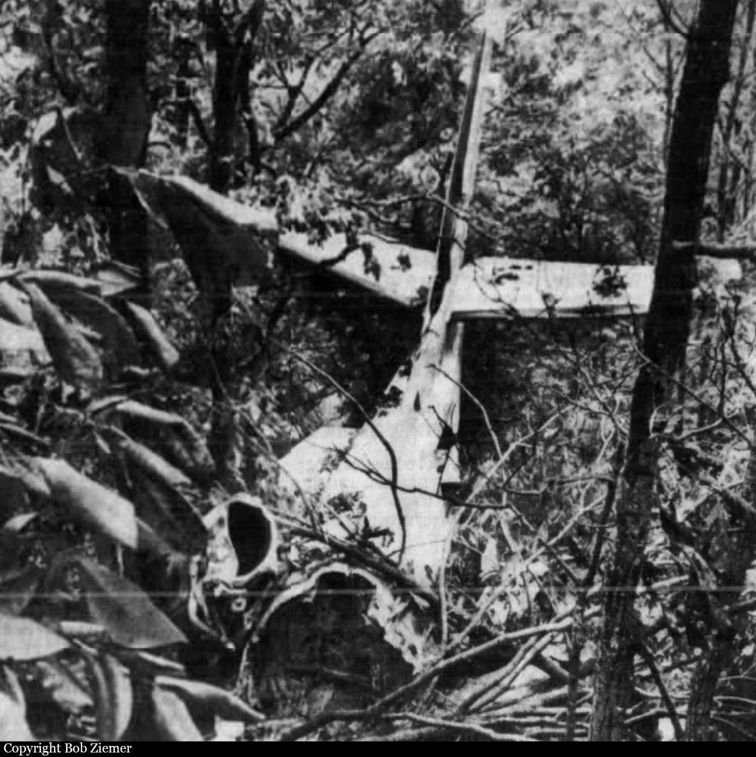
Circumstances:
At 2003 cdt, the flight was cleared for an ILS localizer approach to runway 36 at the Harrison-Boone County Airport. About 7 minutes later, the aircrew reported making a missed approach and the flight was cleared to the outer compass locator for another approach. The crew asked the Harrison FSS specialist to increase the intensity of the approach lights because they did not see the airport until mid-field; the specialist complied. At about 2015 cst, the aircrew reported inbound at the Bakky intersection (outer marker). The outer marker was located 4.7 mi south of the i-hro localizer DME on an outbound heading of 179°. When the flight did not arrive, a search was initiated. The wreckage was found where the aircraft collided with a mountain at the 1,840 feet level on a heading of 335°, 3.5 miles wsw of the airport. The crash site was also located along the 179° radial of the Harrison VOR, roughly the same distance and direction from the VOR as the outer marker was from the localizer DME. The airport weather was 500 feet overcast, 2 miles visibility with fog. Airport elevation is 1,364 feet msl. Both pilots were killed.
Probable cause:
Occurrence #1: in flight collision with terrain/water
Phase of operation: approach - faf/outer marker to threshold (ifr)
Findings
1. (c) ifr procedure - improper - pilot in command
2. (c) flight/navigation instrument(s) - improper use of - pilot in command
3. Pilot in command
4. (f) weather condition - low ceiling
5. (f) weather condition - rain
6. (f) terrain condition - mountainous/hilly.
Final Report:
N10GE.pdf91.11 KB